


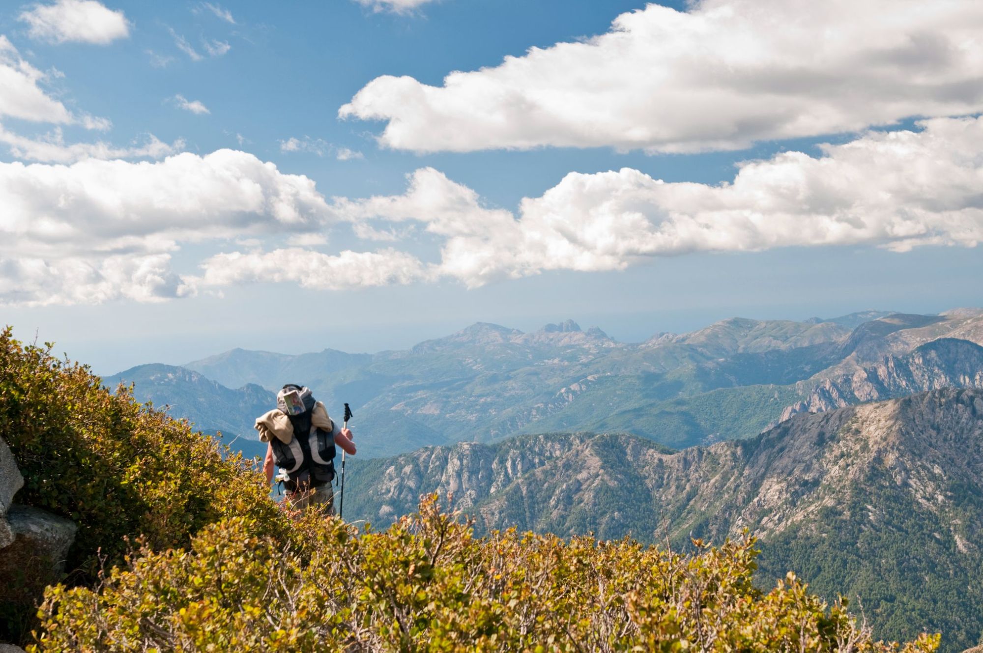
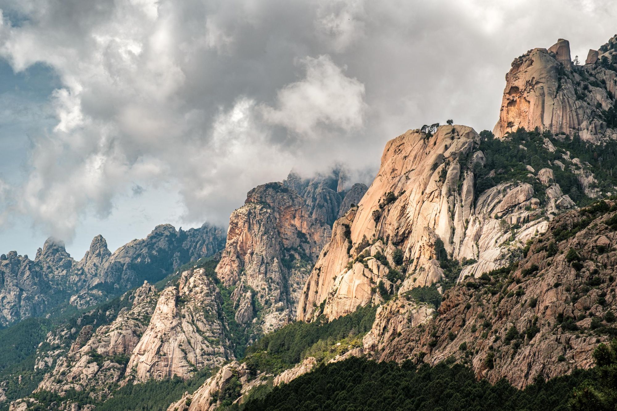
The French Grande Randonnée No. 20, better known as the GR20, is an 112-mile long hiking trail in Corsica. It’s also routinely described as the toughest long-distance hiking trail in all of Europe. Why? Well, it may be the fact that underfoot you could be dealing with anything from loose rock to snow to puddles. It could be the extreme heat and cold that comes with that - or the climbing. The trail can demand over 1000m of vertical ascent in just a few miles.
Equally, it could be the fact that you’ve got to walk for hours on end, on tough terrain, day after day for around a fortnight. That's simply what it takes in order to complete the trail. And you won’t be enjoying luxury hotels en route.
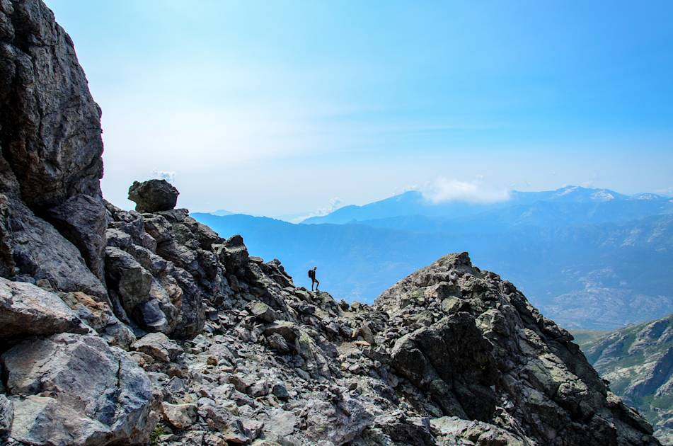
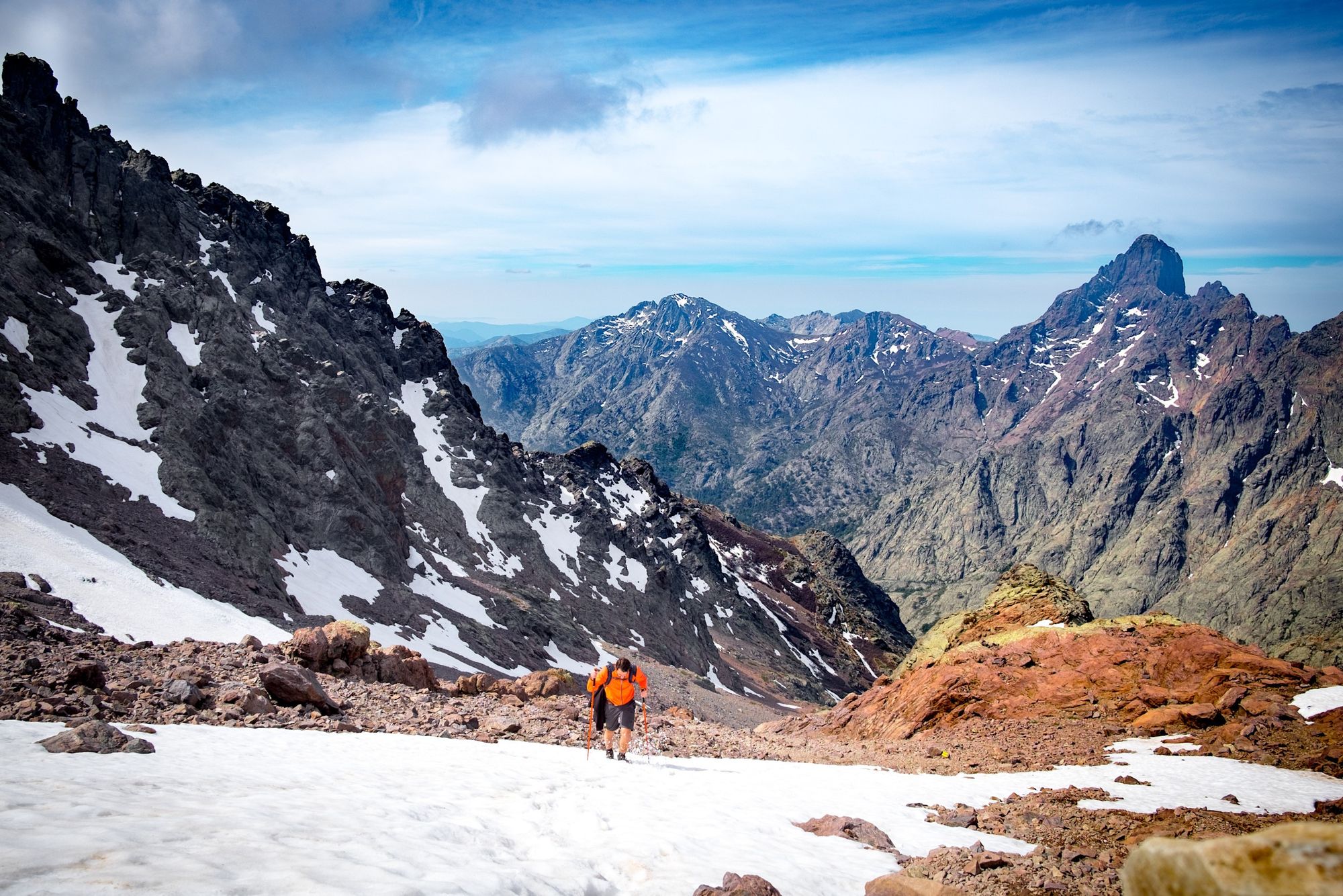
You’re going to climb above the height of Ben Nevis on day one alone - with over 1,500m of ascent
So, if the GR20 is so demanding, why walk it at all? Well, as most hikers know, good views might come free in the great outdoors, but the best don’t come without a bit of hard work. As Paddy Dillon writes in his Cicerone guidebook to the route, “the GR20 climbs high into the mountains and stays there for days on end, leading ordinary trekkers deep into the sort of terrain usually visited only by mountaineers.”
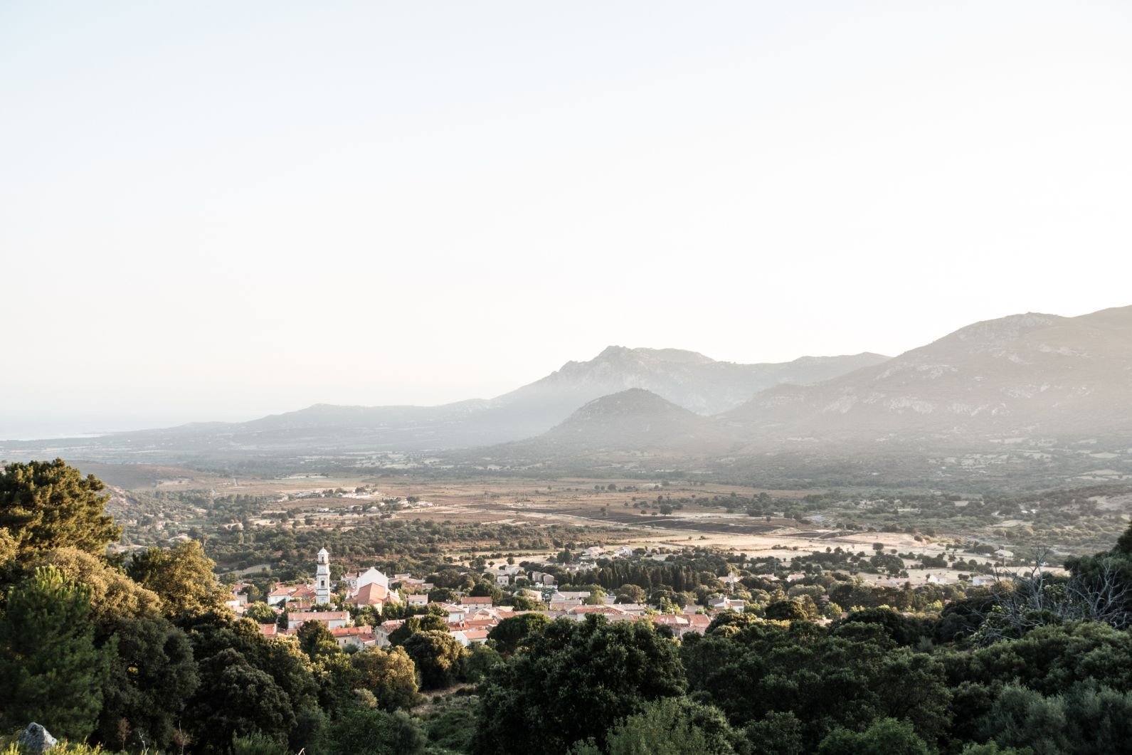
Between the northern starting point at Calenzana (near Calvi, Corsica’s capital of culture) to the finish at Conca in the south, there are hidden mountain lakes, sea views, rugged, rocky cliffs and remarkable panoramas.
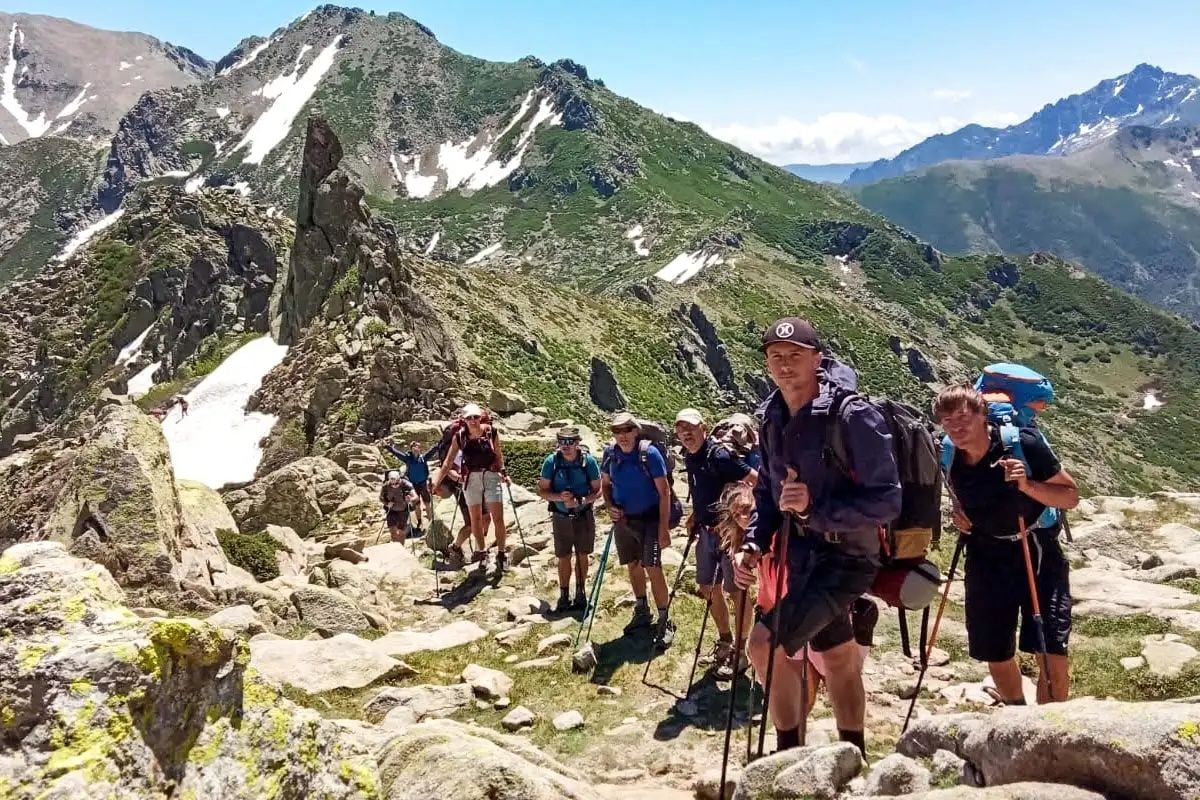
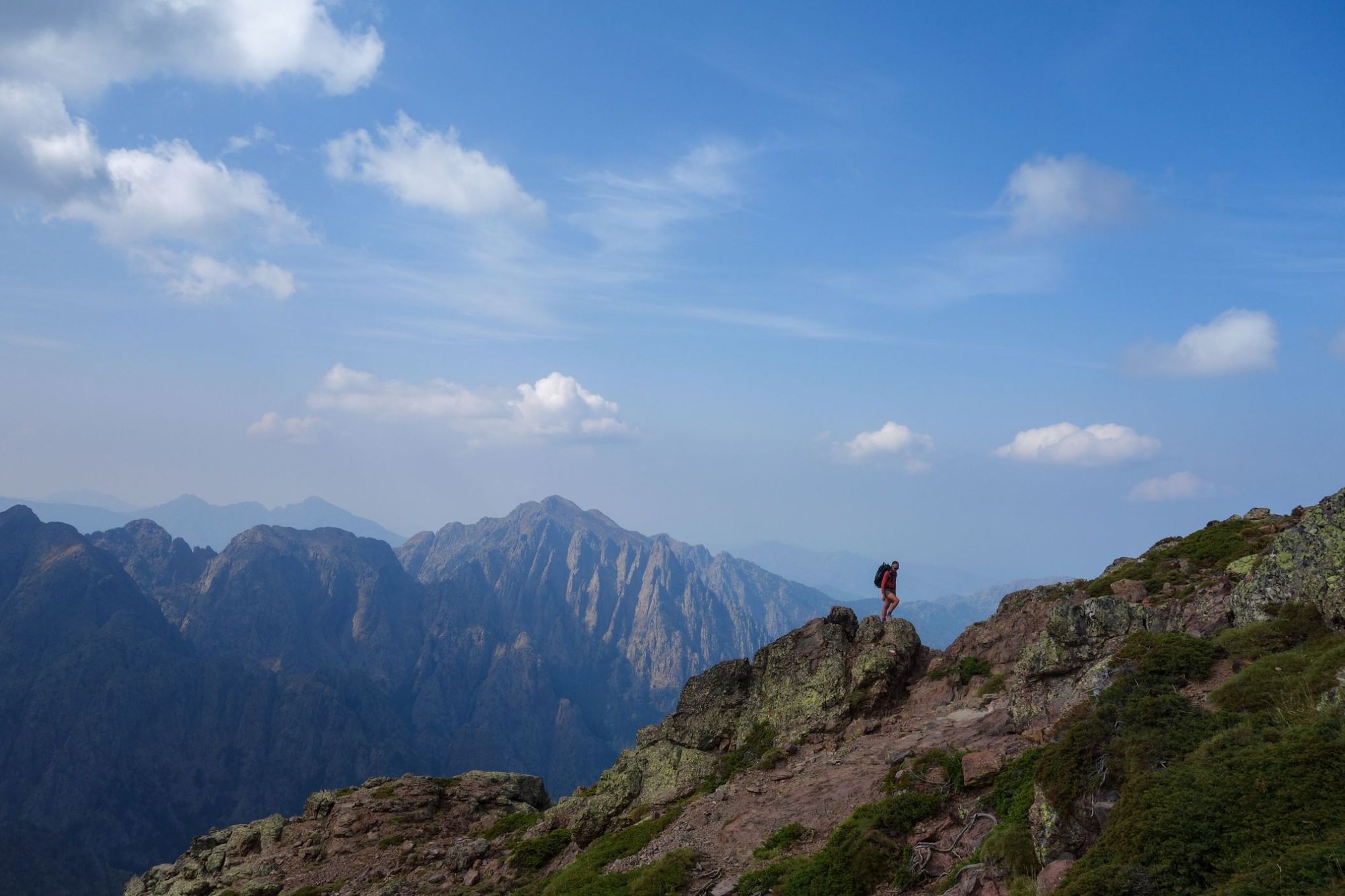
Over the course of the GR20 you’ll cross the rugged, challenging northern segments and the southern part of the route, which is smoother and (slightly) easier to traverse. Both are beautiful. Below we take a look at the 16 stages of the GR20, day by day. Here's your introduction to the toughest trek in Europe.
Read more: North vs South: Which Half of Corsica’s GR20 Trail to Hike?
GR20: Map & Basics
- Distance: 112 miles (180km)
- Start point: Calenzana
- Finish point: Conca
- Days required: 12-16
- Total ascent: 12,775m (41,915 ft)
GR20: A Guide to the 16-Stage Route
Stage 1: Calenzana to Refuge d’Ortu di u Piobbu
- Distance: 7.5 miles (12km)
- Walking time: 7 hours
- Ascent: 1,550m (5,085 ft)
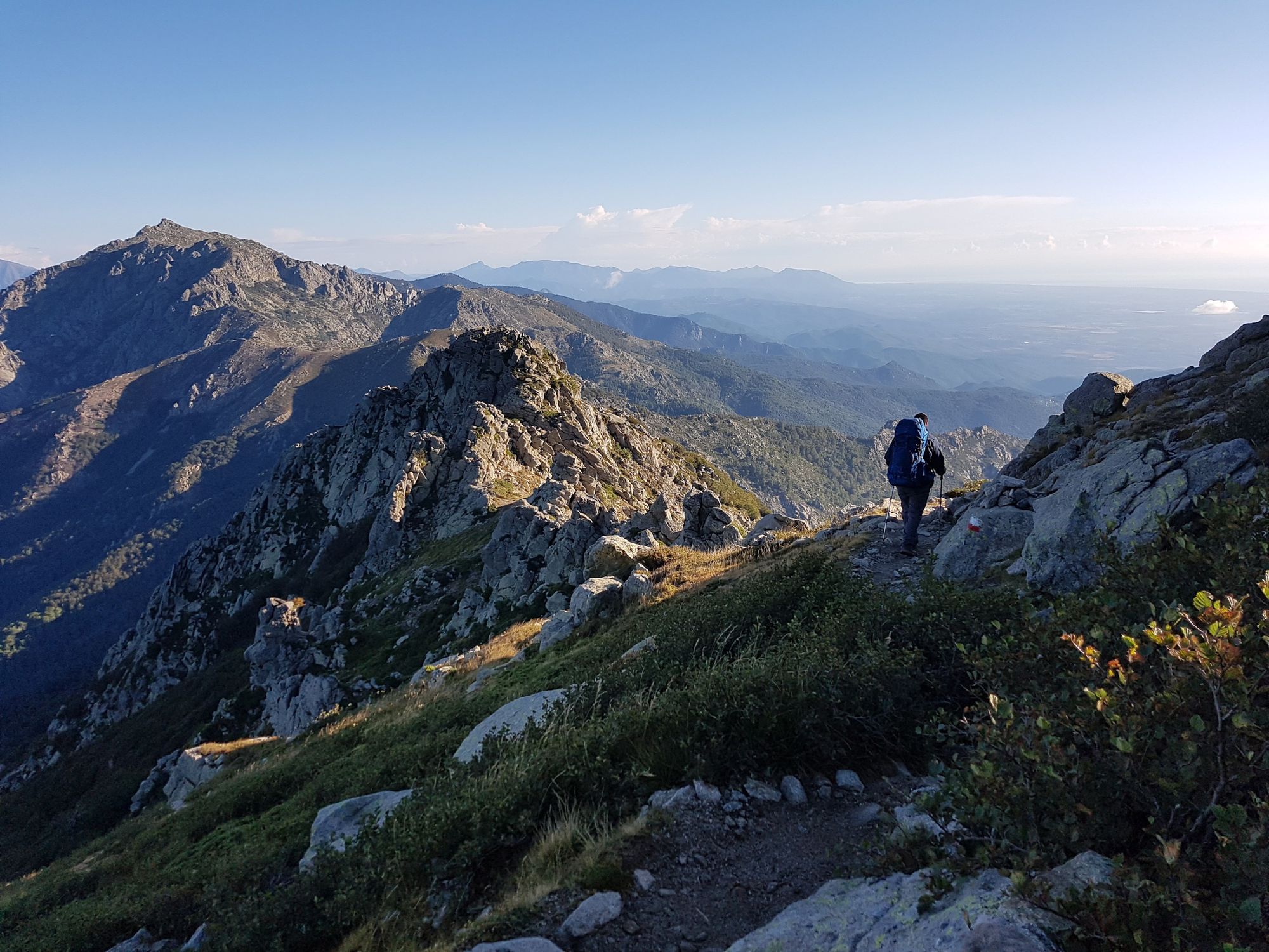
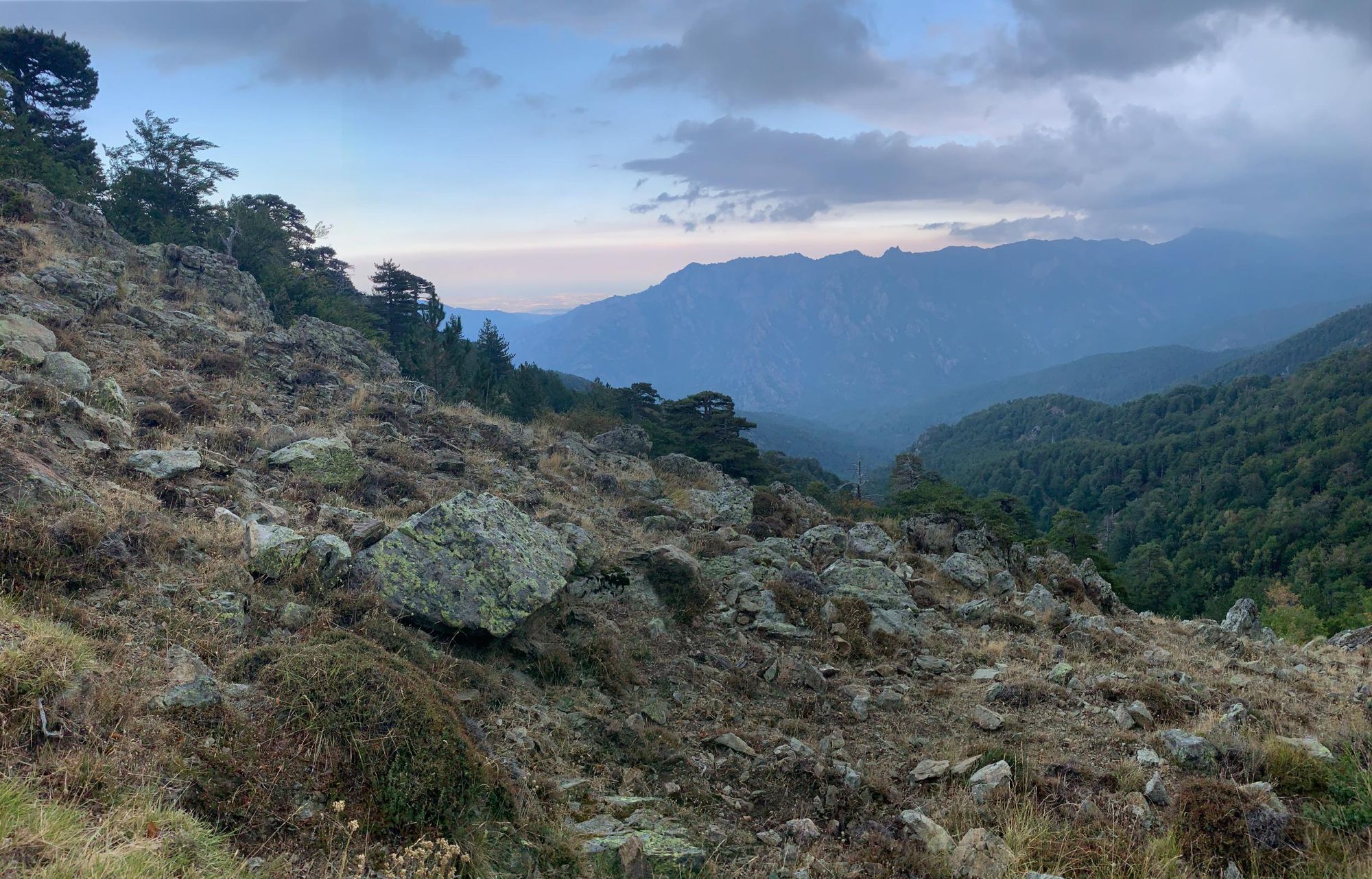
There’s no easing into the GR20. You’re only travelling seven and a half miles on this opening hike, but it starts off steep. You’re going to climb above the height of Ben Nevis on day one alone — with over 1,500 m (4,921 ft) of ascent.
It’s a constant climb, through a variety of maquis and pine forests, but you’ll be getting your first taste of the rugged mountain views. After a long ascent through a boulder-strewn slope, you’ll reach the Bocca a u Saltu (‘bocca’ means ‘pass’ in this context). From here, it’s a 90-minute hike to the Bocca a u Bassiguellu, over some rocky notches and outcrops. Descend over the pass and follow the path downwards into a valley. It rises again, past pines and broken rock, to Refuge d’Ortu di u Piobbu.
Low-level variant: About an hour from Calenzana, the path forks. Head right to follow the Tra Mare e Monti (another long-distance hike in Corsica) through the wooded valley of la Figarella Rivière.
Stage 2: Refuge d’Ortu di u Piobbu to Refuge de Carozzu
- Distance: 5 miles (8km)
- Walking time: 7 hours
- Ascent: 660m (2,165 ft)
You’re only going five miles today. Easy, right? Of course not. This is the GR20. Expect to take around seven hours to navigate the mixture of woodland and open mountain. Today, you’ll climb up to the beautiful viewpoint at Bocca Piccaia (1,950 m / 3,116 ft), a gap in the rock where you can see the rugged pinnacles and peaks of Ladroncellu Valley.
Turn left and climb along a rocky ridge to Bocca d’Avartoli, navigating scree slopes and rocky gullies. You’ll drop down to Bocca Carozzu, then follow a steep path downhill through boulders and a birch woodland to the refuge.
Low-level variant: Follow a path waymarked with yellow paint splashes along a rocky crest and into a valley carpeted with pine trees. Ascend slowly uphill to the Refuge de Carozzu via a path along a rocky riverbed.
Stage 3: Refuge de Carozzu to Ascu Stagnu
- Distance: 3 miles (5km)
- Walking time: 6 hours
- Ascent: 860m (2,820 ft)
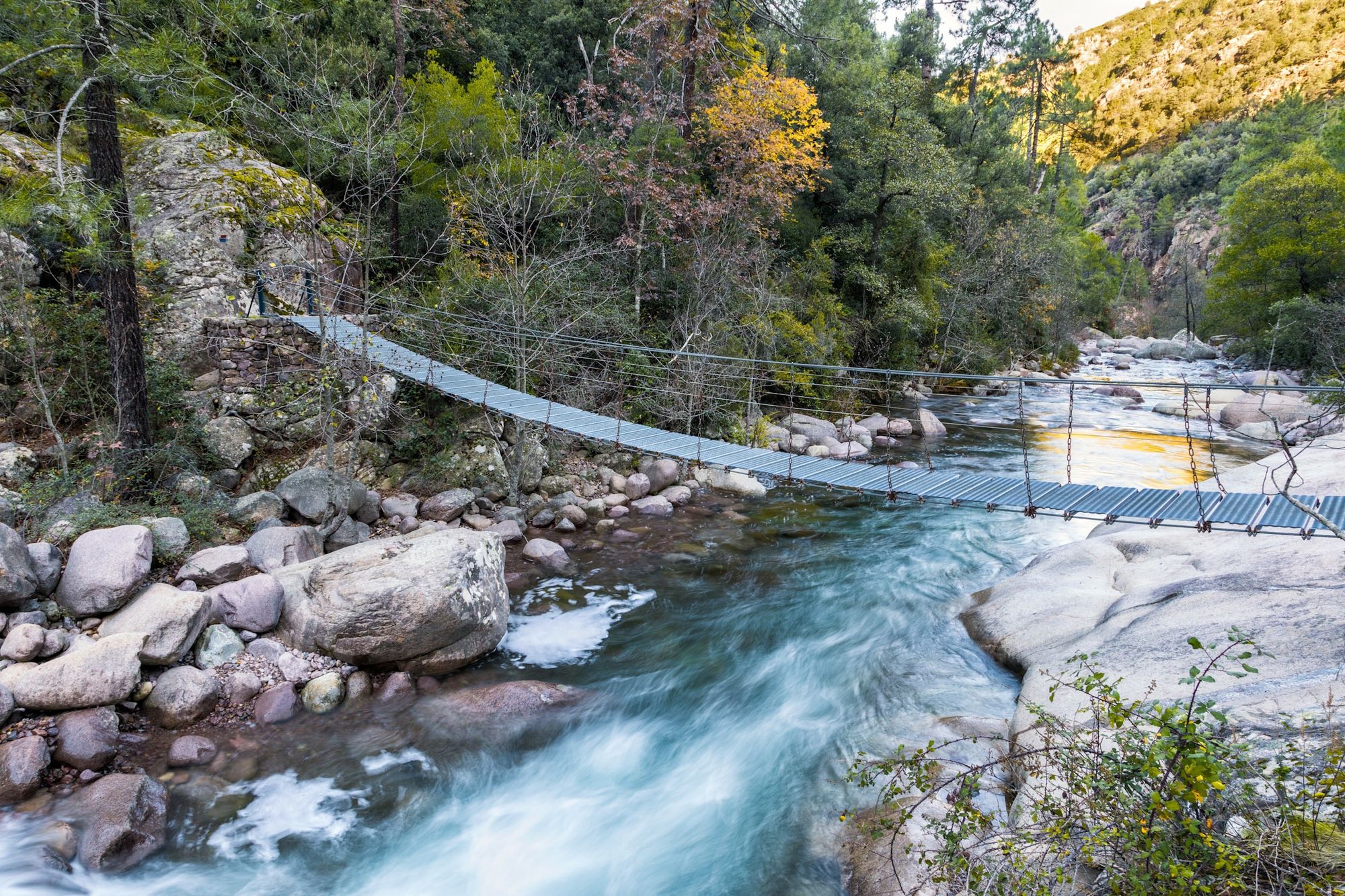
The three miles ahead in stage three are not easy — and there’s no low-level alternative. Expect to be on the trail for around the same amount of time as stage two. Leaving the refuge, you’ll climb almost immediately. You’ll cross a scenic suspension bridge, then climb over the sloping Spasimata Slabs (there are cables to aid you).
The path traces the contours of a rock valley, passing over a ridge to Lac de la Muvrella, a lake situated at 1,860 m (6,102 ft above sea level). It eventually reaches Bocca a i Stagni (2,003 m / 6,572 ft). Finally, you’ll descend to the ski centre at Ascu Stagnu.
Stage 4: Ascu Stagnu to Auberge U Vallone
- Distance: 6.3 miles (10km)
- Walking time: 8–9 hours
- Ascent: 1250m (4,100ft)
Until 2015, stage four of the official route took you through the Cirque de la Solitude, a plunging rock chasm that needed to be ascended and descended. This was closed after a serious accident, and now the route takes you via Monte Cinto instead, which at 2,706 m (8,878 ft) is the highest point on the island.
Get an early start today, as you’ll be on the trail for the best part of eight and a half hours. Climb a steep rocky slope, aided by chains. The terrain becomes gradually steeper, with loose scree underfoot, as you ascend to Monte Cinto. You’ll be scrambling on either side of the peak, but the view out over the GR20 mountains and the island of Corsica makes it all worthwhile. Descend. When you pass the perilously perched Refuge Tighjettu, you're almost done for the day.
Stage 5: Auberge U Vallone to Hôtel Castel di Vergio
- Distance: 8.8 miles (14km)
- Walking time: 6 hours
- Ascent: 850m (2,790 ft)
A slightly easier hike today, as you start out on gentle forest paths. You will eventually work your way back up to the rocky mountains, though, climbing up past the Bocca di Foggiale at 1,962 m (6,437 ft). Follow the path downhill into a valley, with awe-inspiring views of the pinnacles and buttresses of Paglio Orba.
You’ll pass the Bergeries de Tula (a ruined hut and sheepfold), and continue by the side of a river. Cross the river on a footbridge and continue along the valley, through pine woodland, to Hôtel Castel di Vergio.
Stage 6: Hôtel Castel di Vergio to Refuge de Manganu
- Distance: 10.3 miles (16.5km)
- Walking time: 6 hours
- Ascent: 670m (2,200 ft)
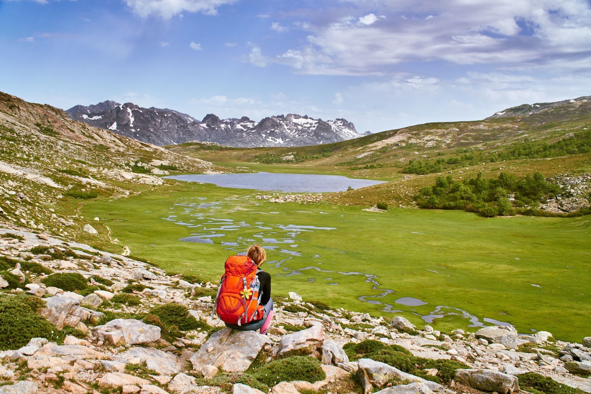
Today you’ll begin by following a well-defined path through a forested valley, which begins to gently zigzag upwards to the Col de Pierre, a grassy gap with valley views. You’ll climb a grassy ridge uphill towards Bocca â Reta (1,883 m / 6,178 ft) before descending to Lac du Ninu.
Follow the path around the lake, up a broad valley and across the Pianu di Camputile, a grassy plain. From here, it’s a short, steep climb to Refuge de Manganu.
Stage 7: Refuge de Manganu to Refuge de Petra Piana
- Distance: 5.5 miles (9km)
- Walking time: 7 hours
- Ascent: 980m (3,215ft)
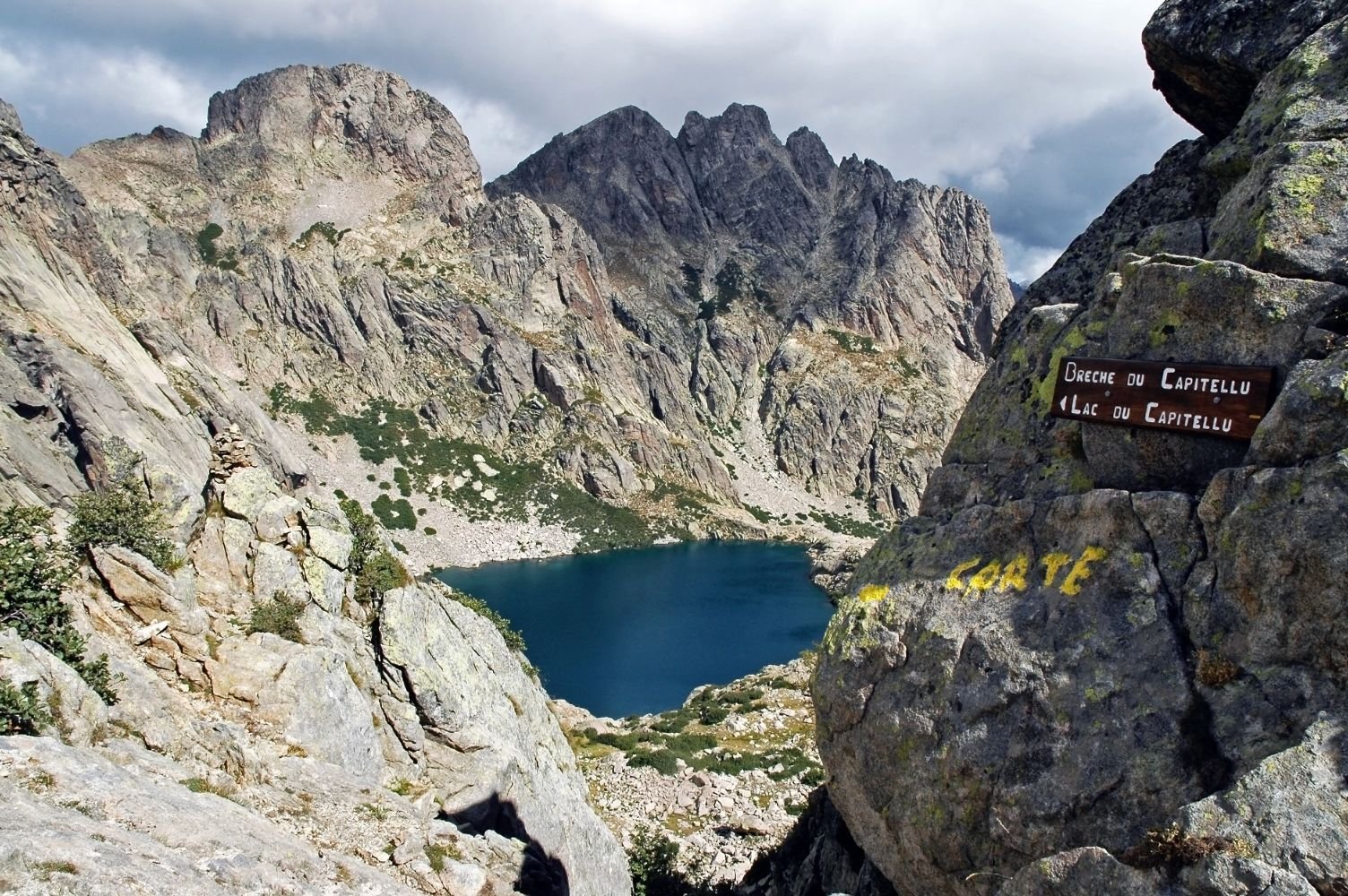
Follow the path upstream past a waterfall. There’s a steep, rocky ascent to the head of a valley—from the top are views of gorges, waterfalls and the spiky pinnacles of the Capu a i Sorbi and Punta a e Porte peaks. Scramble uphill across slabs to Bocca a e Porte, one of the highest points on the route at 2,225 m (7,300 ft).
Cut across the slopes of Punta a e Porte, traversing steep gullies and more boulders, climbing across a ridge before pushing through dense scrub to the Bocca Renosu (2,150 m / 7,055 ft). Descend to the Refuge de Petra Piana.
Stage 8: Refuge de Petra Piana to Refuge de l’Onda
- Distance: 4.5 miles (7km)
- Walking time: 4–5 hours
- Ascent: 390m (1,280 ft)
This is the higher-level variant; for an easier day’s hike, take the lower-level route, which is actually the main GR20 path.
Just beyond the refuge, follow the route signposted 'Par les crêtes'. It takes you across steep rocky ledges and knife-edge arêtes towards the dual summits of Punta di I Pinzi Corbini (2,021 m / 6,631 ft), before descending to the Refuge de l’Onda.
Low-level variant: Follow the path signposted 'Par la vallée' — it takes you on a gentle descent into a valley, passing the Ruisseau de Manganellu, a river with multiple rockpools and cascades.
Stage 9: Refuge de l’Onda to Vizzavona
- Distance: 7.5 miles (12km)
- Walking time: 7–8 hours
- Ascent: 990m (3,250 ft)
Follow the signpost for Vizzavona along a ridge, before hiking and scrambling up to the rocky summit of Monte d’Oru (2,389 m / 7,838 ft). Cross bouldery slopes downhill and descend a broad gully called La Scala.
The path zigzags downhill until it reaches a dense forest. Follow it to Vizzavona.
Low-level variant: Follows the main GR20 route until the beginning of the Monte d’Oru ascent. Here, it zigzags downhill and remains longer in the woodlands.
Stage 10: Vizzavona to Bergeries d’E Capanelle
- Distance: 9 miles (14.5km)
- Walking time: 5–6 hours
- Ascent: 1,000m (3,280 ft)
This is where the easier southern section of the GR20 begins. Follow the path south through woodland, climbing uphill to cross the Bocca Palmento (1,645 m / 5,400 ft), where there are some good views of Monte d’Ora behind you.
The path continues to contour around forested slopes, with mountain views through the gaps in the trees. There’s a gentle uphill climb before following the signpost for the Bergeries d’E Capanelle, which has been converted into a mountain refuge.
Stage 11: Bergeries d’E Capanelle to Bocca di Verdi
- Distance: 10 miles (16km)
- Walking time: 8 hours
- Ascent: 815m (2,675 ft)
Follow the path uphill. The main GR20 route heads downhill, but for more of a challenge, continue uphill, following a line of cairns up towards the summit of Monte Renosu at 2,352 m (7,716 ft). The summit leads across a rocky ridge and down a steep, stony slope — you’ll need to follow cairns to descend it.
The path levels out as you cross the grasslands of I Pozzi, then head into woodland. From here, you’ll follow a track uphill to Bocca di Verdi, where you’ll find the rustic mountain chalets of Relais San Petru di Verde.
Low-level variant: Follow the main GR20 path downhill, climbing over bouldery wooded slopes and crossing small streams. You’ll pass through dense beechwoods before reaching the Plateau de Gialgone.
Stage 12: Bocca di Verdi to Refuge d’Usciolu
- Distance: 10.3 miles (16.5km)
- Walking time: 7–8 hours
- Ascent: 1290m (4,230 ft)
Walk uphill, passing the Refuge de Prati and climbing over boulders to the summit of Punta Cappella (2,041 m / 6,696 ft). You’ll descend across jagged boulders to reach Bocca di Laparo, before passing through a beech wood.
Then it's a climb to Monte Formicula (1,950 m / 6,400 ft) and a slight descent to the Refuge d’Usciolu.
Stage 13: Refuge d’Usciolu to Refuge de Matalza
- Distance: 7 miles (11km)
- Walking time: 7–8 hours
- Ascent: 340m (1,115 ft)
An opening scramble takes you along a ridgeline, squeezing through gullies. At the Bocca di l’Agnonu, turn right and follow the waymarks downhill, passing through woodland and crossing the Ruisseau di Partoso river.
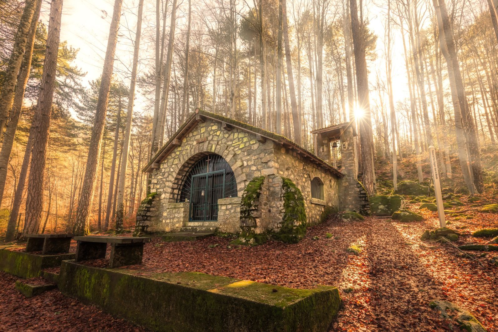
As you climb uphill, you’ll pass a pretty chapel, the Chapelle San Petru. Continue hiking up a short, bouldery slope to the Refuge de Matalza.
Stage 14: Refuge de Matalza to Refuge d’Asinau
- Distance: 10.5 miles (17km)
- Walking time: 7–8 hours
- Ascent: 665m (2,180 ft)
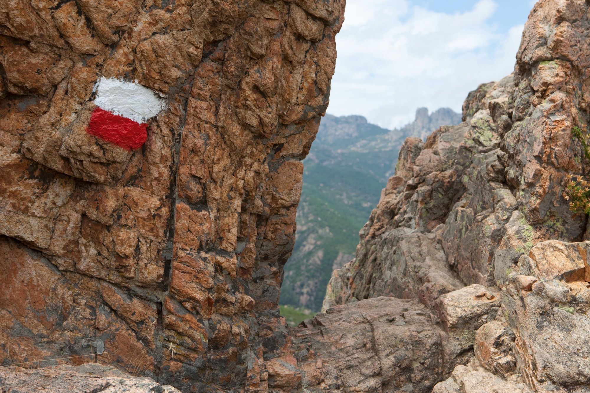
For the more challenging high-level variant, follow a rough path up a steep slope to a rugged ridge known as the Arête a Monda. Follow the red and white GR20 paint splashes across the boulders and bulges in the rock.
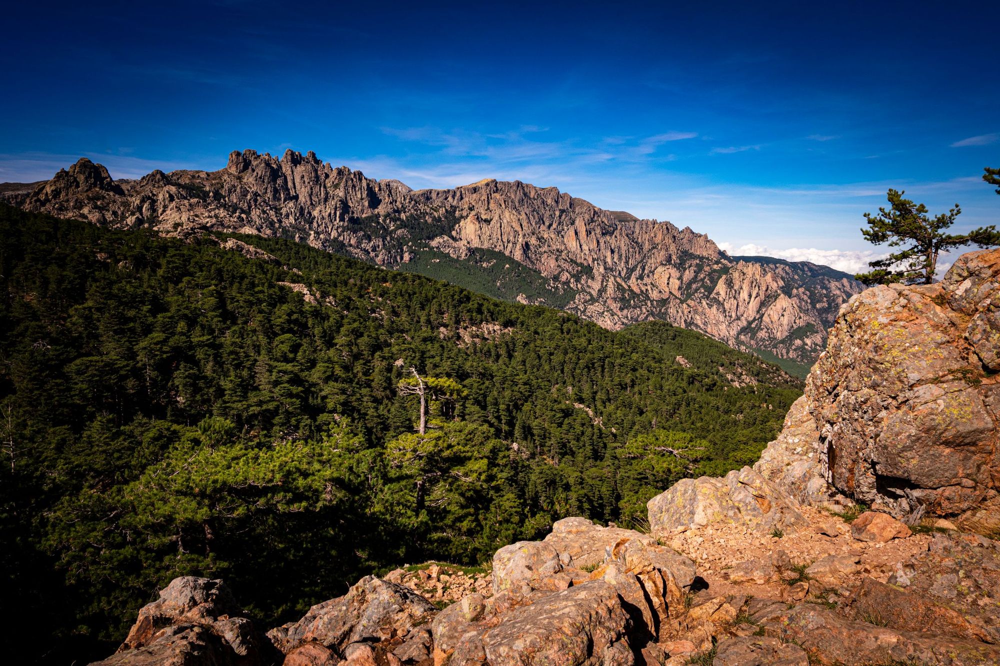
After several hours you’ll reach the Bocca di l’Agnonu. Turn left and follow the yellow paint flashes through the beech woods and fragrant maquis. You’ll climb up to a rocky ridge and follow it downhill to Refuge d’Asinau, known for its view over the red granite Aiguilles de Bavella.
Low-level variant: Follow the track along the banks of the Ruisseau de Croce and through woodland. You’ll head uphill to reach Bocca di Chiralba at 1,743 m (5,719 ft), before descending to Refuge d’Asinau.
Stage 15: Refuge d’Asinau to Bavella
- Distance: 4.8 miles (7.5km)
- Walking time: 4–5 hours
- Ascent: 550m (1,805 ft)
Follow the route down through pines and boulders to the Ruisseau d’Asinau river. After an hour or so, there’s a fork in the path. The Alpine variant leads uphill into the mountains. You’ll pass along a stony ridge, dwarfed by intimidating rock towers. You’ll trek between, rather than over, these towers, although you will climb up a large sloping rock slab, with a chain for protection.
Follow a set of ‘rock steps’ towards Punta di l’Acellu (also known as Tour 1). You’ll then cut downhill across a rocky slope and rejoin the main GR20 route, which takes you along grassy, pine-studded slopes towards the village of Bavella.
Low-level variant: You’ll trek along the tree-carpeted slopes of the Asinau Valley towards Bavella village, with some excellent views of the Aiguilles de Bavella rock pinnacles.
Stage 16: Bavedda to Conca
- Distance: 12 miles (19km)
- Walking time: 7 hours
- Ascent: 700m (2,295 ft)
The final stage covers a relatively long distance and descends for 1,670 m (5,480 ft) over the course of the day. Follow a rough path across a riverbed, past pines and heather, climbing uphill towards a gap called Foce Finosa (1,206 m / 3,957 ft).
Descend along an old mule track to the Refuge d’i Paliri, before descending through pine forest and scrub. In places, you can see evidence of forest fires. Large stone pinnacles jut upwards through the trees. The path leads downhill, and then follows the Ruisseau de Punta Pinzuta downstream towards Conca, the end point of the hike.
GR20: Frequently Asked Questions
How difficult is the GR20 hike in Corsica?
The GR20 is one of Europe’s toughest long-distance hikes, with steep climbs, rocky trails, and exposed ridges. Each day involves 6–10 hours of hiking and major elevation gain. While some lower-level variants exist, even these demand strong fitness, hiking experience, and confidence on technical terrain.
How many days does it take to complete the GR20 trail?
Most hikers complete the GR20 in 12 to 16 days, depending on pace, weather, and fitness. The full route is about 180 km (112 miles) and is typically split into 16 stages, each with challenging terrain and steep elevation changes.
What kind of accommodation is available on the GR20?
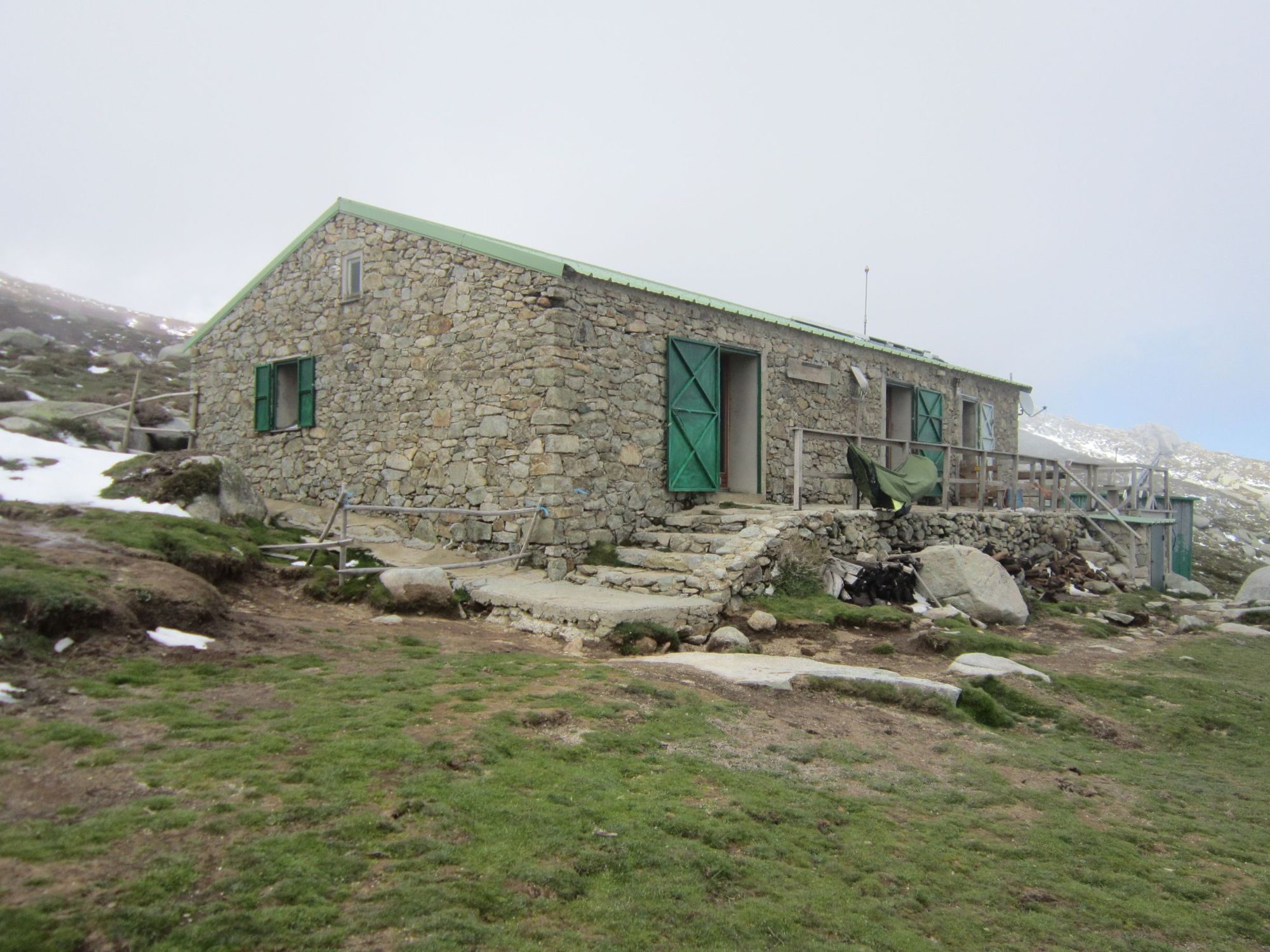
Accommodation on the GR20 includes basic mountain huts known as refuges or gîtes. These offer bunks, meals, and toilets. Wild camping is not allowed, but tent pitches are usually available near refuges. Booking ahead is essential during the busy summer season.
Read our GR20 Accommodation Guide.
When is the best time to hike the GR20 trail?
The best time to hike the GR20 is from late June to early September, when snow has melted and the mountain refuges are open and staffed. This is also the most stable weather window, though it’s the busiest. Outside this period, snow may block the trail and make navigation dangerous.
Read our guide on When to Hike the GR20.
Should I hike the northern or southern section of the GR20?
Choose the northern section for steeper ascents, technical paths, and rugged alpine scenery — ideal for experienced trekkers. Opt for the southern section if you prefer smoother trails and more accessible terrain, while still enjoying Corsica’s dramatic mountain landscapes.
Read our GR20 North vs South Guide.
What’s the best guidebook for the GR20 trail?
We recommend ‘GR20 – Corsica: The High-Level Route’ by Paddy Dillon, published by Cicerone. It’s detailed, reliable, and includes route maps and practical advice. The Komoot map linked above is also useful for a digital, stage-by-stage overview.
This article contains affiliate links. Which basically means we make a little commission if you click through and buy something. It doesn’t cost you anything, and it just means we can do more good things in good places.
Inspired? Come with us to Trek the GR20 in Corsica, and check out our other Hiking Adventures in Europe.