


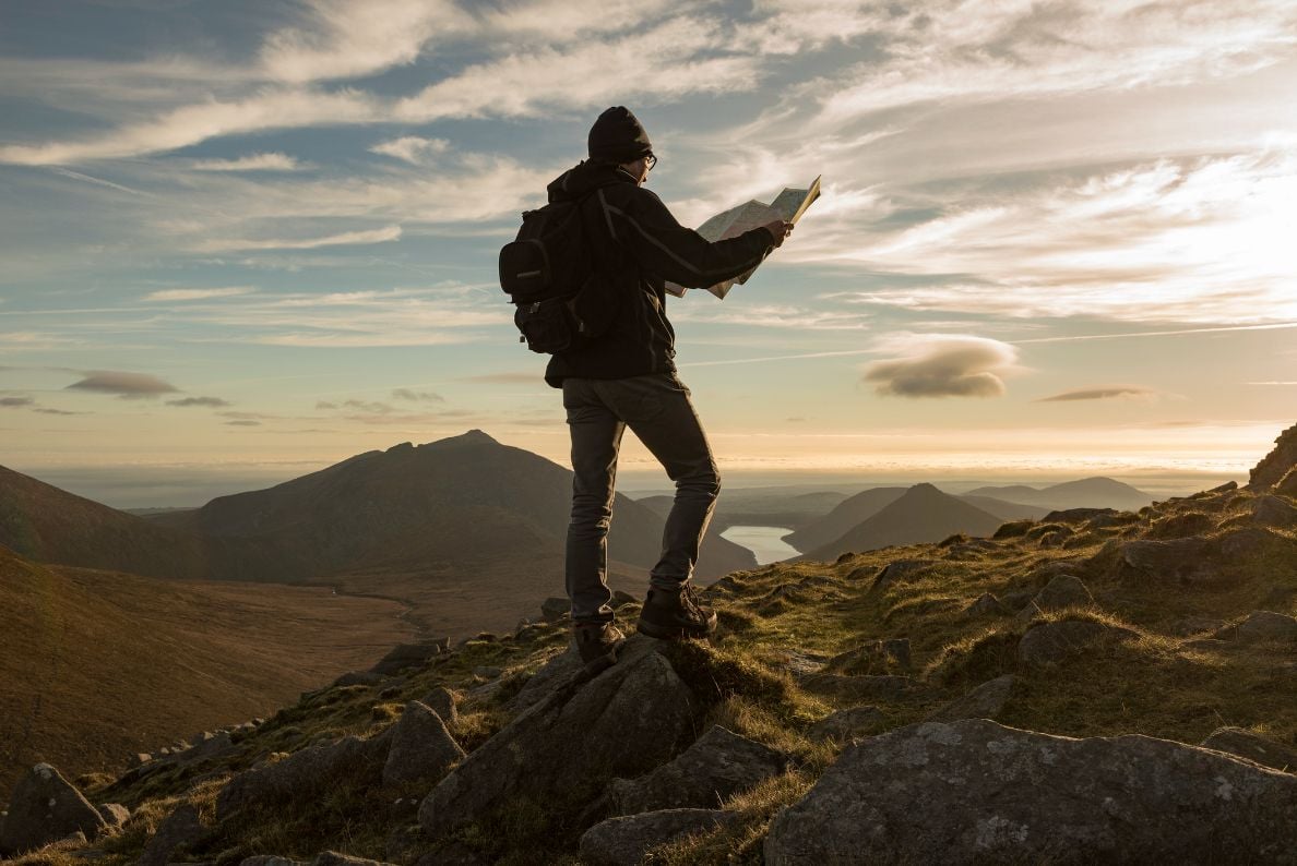
Ordnance Survey maps, known commonly as OS maps for short, are probably the most widely used maps of the United Kingdom. There’s a reason why. You can get an OS map in a variety of scales for anywhere in the UK. You can even get custom maps centred on where you live. We are incredibly blessed with very detailed and accurate mapping of the United Kingdom. To the extent that it is very possible to know where you are on a map to within 1mm, using just a compass and your brain.
But for many people, OS maps can be a bit of a mystery. There are so many symbols and colours that it can seem a bit overwhelming at first. Particularly when there’s so much going on, in places with crags and streams and gullies and footpaths. Never fear – if primary school children can grasp the basics of map reading, we know that you can.
OS Maps by Colours

We are not going to go through and list out every OS map symbol in existence – because, dude, that would take us ages! For a full pictorial reference guide to every symbol you could ever want to know, on any type of OS map, try the 1:25k map key. Or you could always consult the key at the bottom of every map.
However, there’s an easy way to group types of map symbols: by colour. So instead let’s settle down to some painting by numbers… or rather symbols by colour. You can sing a rainbow by colours and you can certainly explain an OS map by colours. We’ll take you through a 1:25k scale OS map – there are other scales, but this one is most commonly used for hiking.
Blue - Water features and more
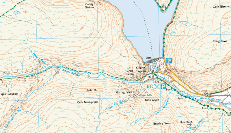
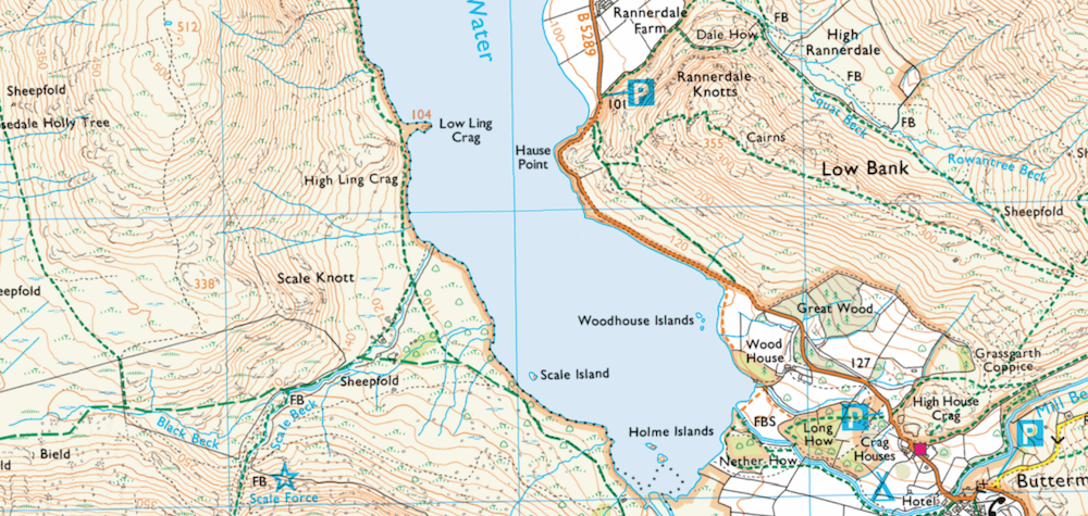
We thought we’d better start with blue because there’s quite a lot going on in this colour! But first, what does blue make you think of in the outdoors? Gorgeous blue skies as far as the eye can see? Nice try… but we’re in the UK. Most of the blue stuff in the sky is of the falling variety: water. The vast majority of blue areas and symbols on an OS map are water features. By that we mean anything that would get you wet if you put your foot in it: rives, lakes, tarns, marshes. If the wet thing has a name, that’ll probably also be written in blue.
That’s light blue. Then there’s a darker blue – oh wait, hang on. Before that, there’s one more thing that’s marked in the same blue as a river, but which is definitely not a river: the humble trig point. These stone posts are dotted around the British Isles and were used to create the maps in the first place. You’ll never mistake them for a water feature: the symbol is a blue triangle with a dot in the middle. Rivers do not flow in small triangles.
Right then, back to dark blue. These symbols have nothing to do with getting wet. They’re what the OS map describes as “tourist and leisure information” – things like pubs and campsites and viewpoints. Then there’s also motorways, which are significantly different-looking from rivers that you won’t end up trying to kayak down the M1 or drive down the Thames. Last, but certainly not least, are grid lines. These thin blue lines are arguably one of the most important features on the map. They give the map scale and allow you to measure distances on the map which relate to the ground. Plus without them you wouldn’t know where north was on your map, making it impossible to take a bearing.
Green - Woodland and Ways

Even in England’s green and pleasant land, the grass on OS maps is not marked as green. It would make the map pretty hard to read and we’d get into all sorts of debates about how green the grass needs to be in order to mark it green on the map. The cartographers would probably be reduced to tears every time someone gravelled over a back garden or landscaped a park. Instead, green marks other types of natural foliage like forests, gorse bushes and bogs (with the assistance of our friend blue). Rather than mark every tree or bush individually, the extent of the area covered in green will mark the size of the forest. The same goes for the spread of green gorse bush and grass symbols.
The other very useful green symbol is the green dashed line and variations thereupon. This green line marches across OS maps and marks your right of way across country. Specifically, all public rights of way (like footpaths, bridleways etc) are marked using variations of the green dashed line. Waymarked trails are marked in a similar way with green diamonds. The biggest thing to not about these rights of way is that, although there is a huge green trail marked on the map, there may not actually be anything visible on the ground for you to walk along.
White - The Land
Rather than choose to have different ground colours based on height, as some other maps do, OS choose to have all land as white. This makes for easy reading of the details and other symbols stacked on top of the background colour. There are some variations on the white – kind of like going to paint mixing aisle in B&Q. An off-white (or arguably off-yellow) colour can be used for Open Access Land. Beaches tend to be more beach coloured.
Black - Lines, Words and Crags
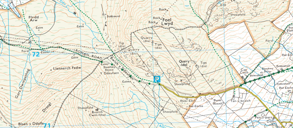
On OS maps, black tends to represent permanent things, man-made things and boundaries. It’s also the colour of choice for writing place names – and words in general – on the map, since it’s easiest to read over the white background. So, things marked in black include walls, buildings (which, funnily enough, are made up of walls), lighthouses, fences and field boundaries. Then there’s rocks and stone features like crags and scree. These features could be called grey, if you’re being a colour pedant.
Finally, paths and tracks are marked as a variety of dashed lines. These are different to footpaths and rights of way because they actually exist on the ground. You’ll often find a black dashed line underneath a green dashed line on an OS map. But be careful. Whilst it’s very possible to walk along a black dashed line (meaning path), it is much harder to walk along a similar – yet subtly different – black dashed line marking powerlines and pylons. That key to the map symbols at the bottom of every OS map is well worth a read!
Brown - Contour Lines
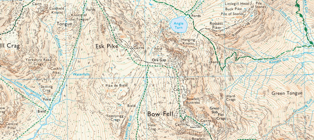
We’re heading down into the more subtly colours. Brown is the colour of contour lines. These feint lines cover every inch of every map, including Norfolk. Contour lines tell you how high the ground is and how the slope changes. For example, lots of contour lines very close together mean a steep slope; contour lines few and far between mean flat or very shallow slopes. The heights of these contour lines are marked in brown too, so you know how high something on the line is without having to count from sea level! Occasionally, you will also see “spot heights” – that is a brown dot with a height next to it, usually at the top of hills or mountains.
Yellow, Orange and Red - Roads
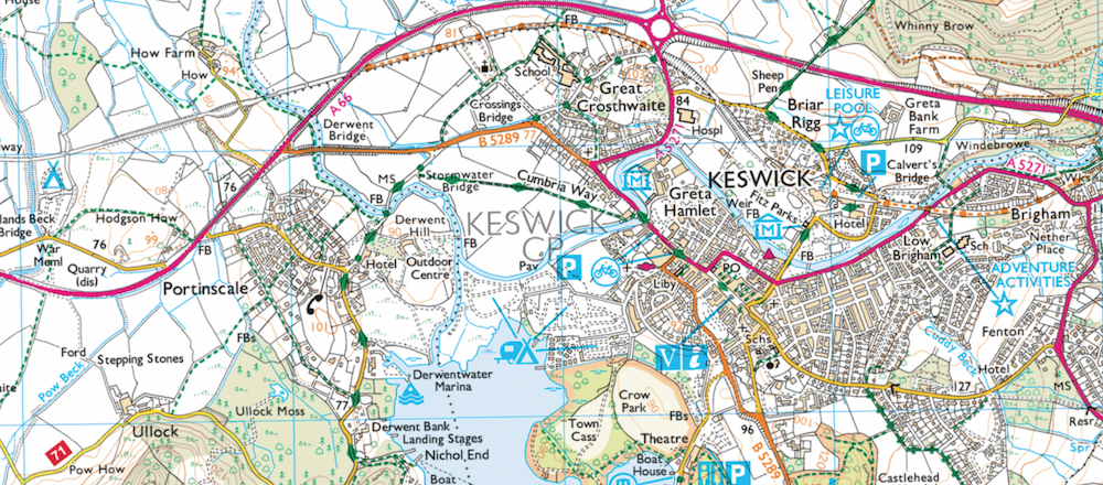
Right, we’re way down in the colour dregs right now. Yellow, orange and red are mostly used for roads, on the scale of barely driven to A road. You might also see variations on these colours used for boundaries that you wouldn’t see on the floor, like county boundaries, parishes, districts. They might also mark things like cycle routes and hostels. Again, the OS map key is your best friend.
Red also has the connotations with danger, so red is used to mark things like firing ranges and danger areas. Basically anything that needs a “be really careful entering here, you might get shot at, blown up or otherwise die” sign around it. This is usually accompanied by big red text, so you’re unlikely to miss it.
So there you go! Now you’re fully versed in how OS maps work, take a look at our UK adventures to put your map reading skills to the test.