


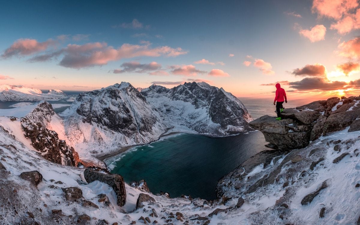
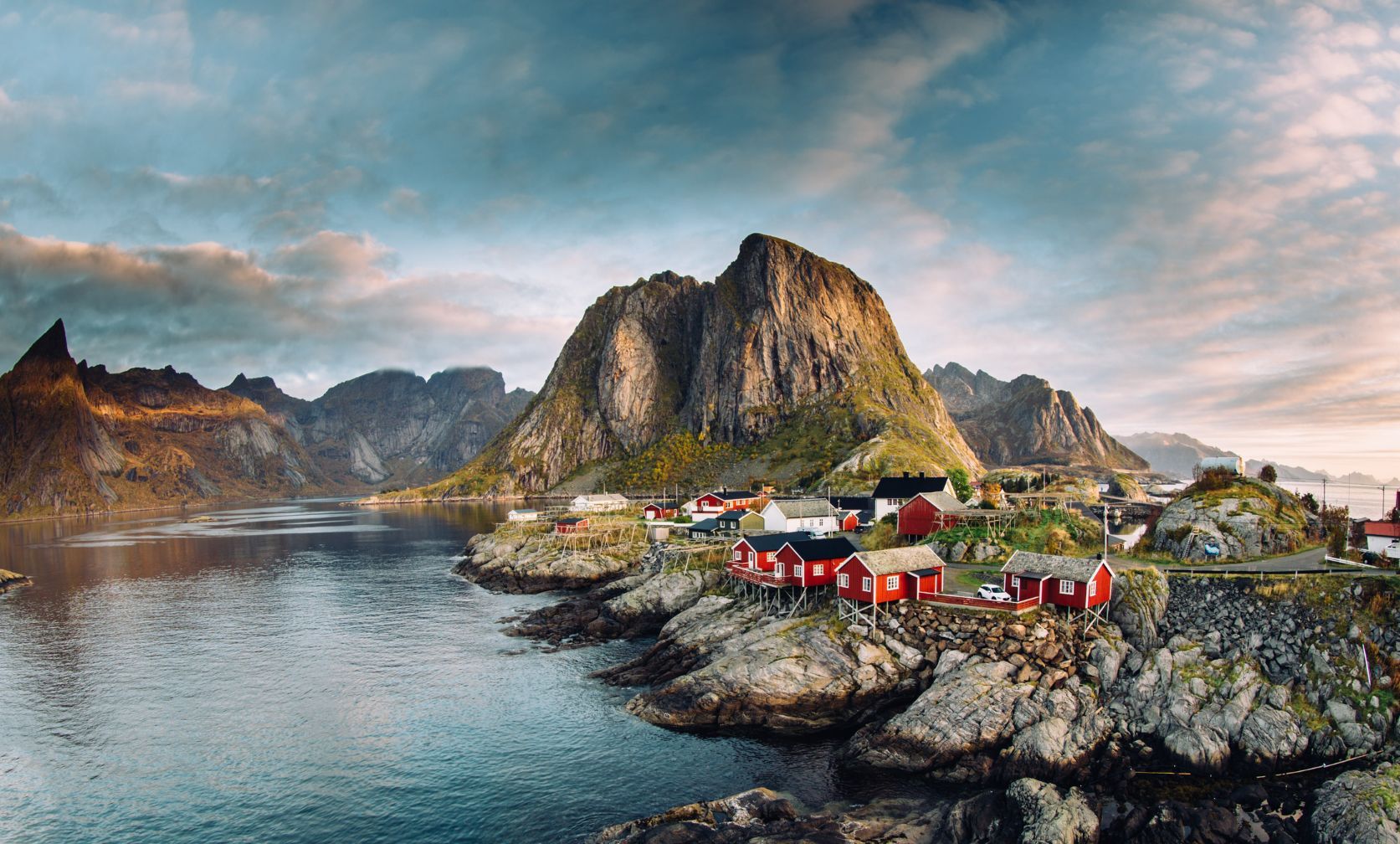
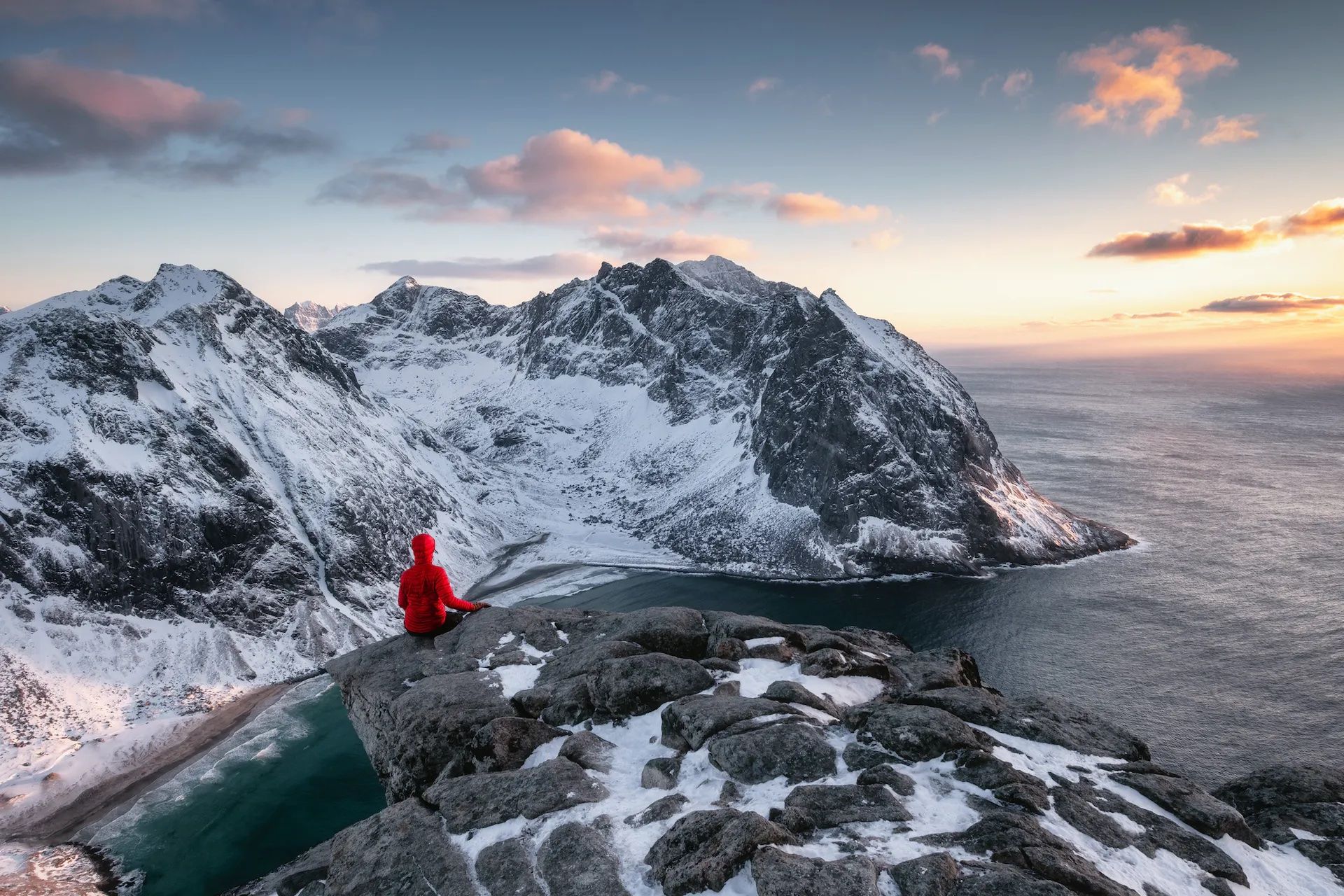
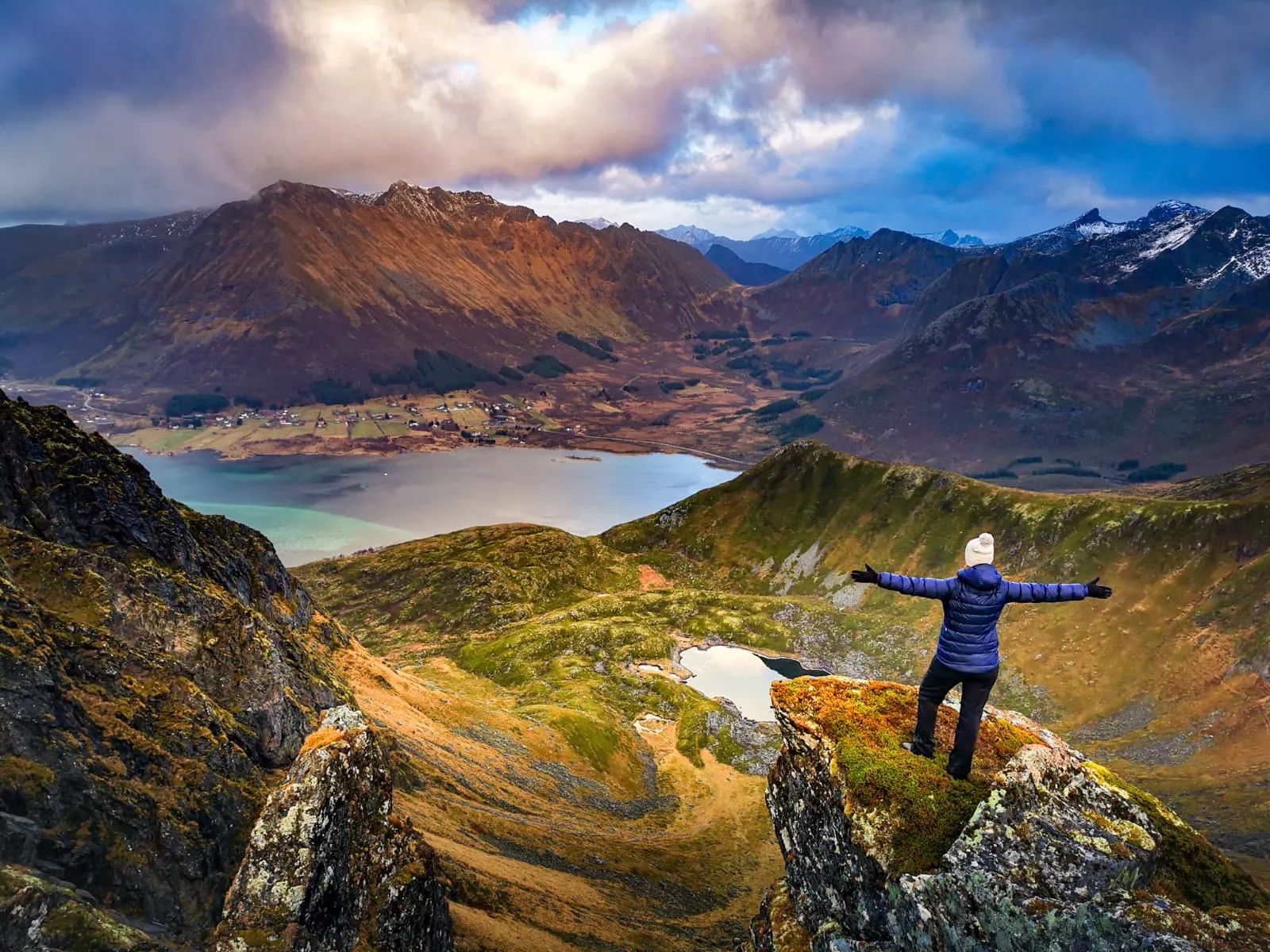
Craggy granite cliffs rise sharply from calm, ink-blue seas. Red fishing huts cluster on dark rocky shorelines. In the winter months, the landscape is dusted in snow, bathed in the green light of the dancing aurora. During the summer, the sun is still golden in the sky at midnight.
These are the Lofoten Islands, located to the northwest of mainland Norway, and high in the Arctic Circle. It’s an archipelago consisting of seven principal islands - the largest, Austvågøya, is home to the islands' capital Svolvær - with hundreds of small islets scattered in the fjords between them. The archipelago is renowned for its sublime natural beauty, from its wild white sand beaches to its jagged volcanic peaks. And it boasts some spectacular hiking opportunities.
The only problem, with seven main islands and hundreds of kilometres of hiking trails, is knowing which one to pick. We’ve selected some of our favourite day-hikes, which showcase the diversity of the archipelago.
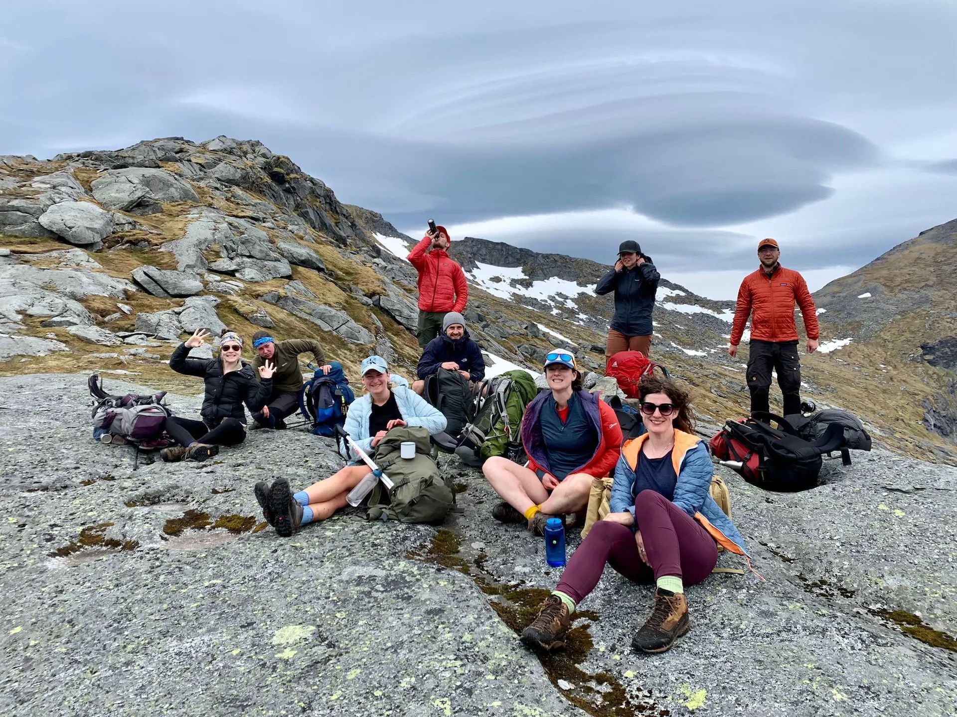
Although distances might be short, we urge you not to underestimate these hikes. Rocky trails can get slippery in the rain; weather is unpredictable and visibility might suddenly reduce. Particularly if you're travelling to Lofoten during winter, some trails may be inaccessible and others may require expert equipment. Whatever season you travel in, a guide is always recommended, both for safety reasons and to get the best of the local culture.
The Best Hikes in Lofoten
1. Nonstinden Summit Hike
Distance: 2.8 miles (4.5km)
Elevation: 459m
Hiking time: 2 hours
Which island? Vestvågøya
This is a short but scenic hike to the peak of Nonstinden (459m), which begins just west of the fishing village of Ballstad. There are several routes up to the plateau of Ballstadheia (270m) - one with chains, the other up loose scree - either way, it’s a bit of a climb. Once you reach the plateau, and cross it, there’s another climb to the summit of Nonstinden.
Once at the top, you have views of jagged volcanic peaks. It's worth taking a break, catching your breath and enjoying the view of the fishing village of Ballstad, the Buksnesfjord, the entire Vestfjord and the archipelago on the south side of Lofoten. Return the way you came or do a loop, climbing a different route down from the plateau.
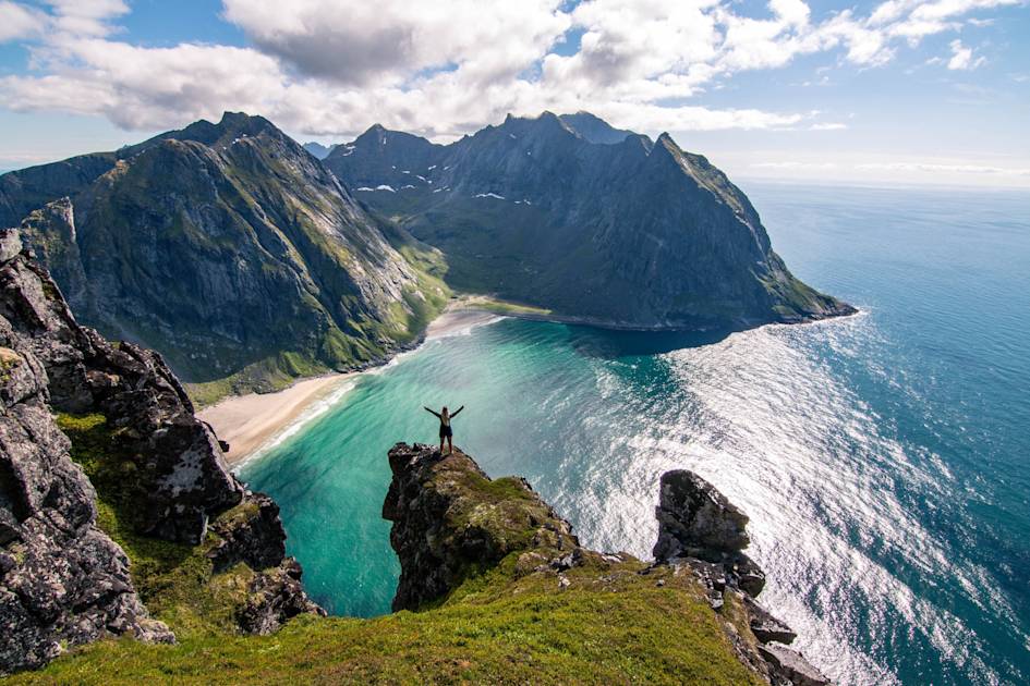
2. Kvlavika Beach Loop
Distance: 5.6 miles (9km)
Elevation: 543m
Hiking time: 4-5 hours
Which island? Moskenesøy
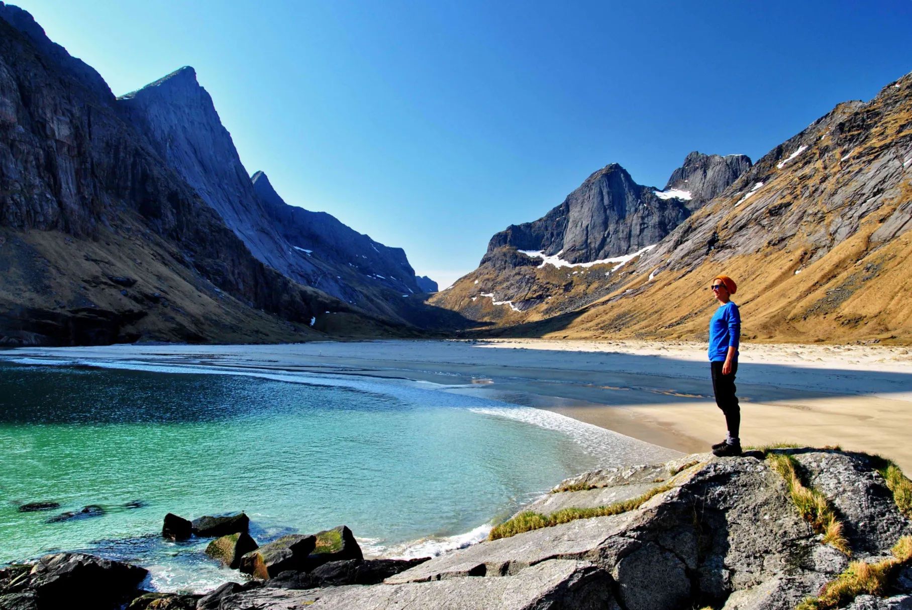
Accessible only on foot, isolated Kvlavika Beach is surrounded by steep cliffs. The hour-long trail to the beach is a popular hike on Lofoten, but we recommend incorporating an ascent of Ryten (543m), a clifftop nearby, and creating a circuit hike. The trailhead is on the side of the 806 road from Fredvang - a grassy path through a wooded area.
Follow the trail past two lakes, veering left around the right hand shore of the second one. You’ll head up a rocky path to a boulder field. You’ll see two large boulders where several paths meet - head straight on for the summit. After admiring the views, retrace your steps to the boulders, and turn right to head down to the beach via a grassy path and wooden walkways. Brave a dip in the icy waters before taking the trail from the beach to the start point, which takes you through birch woodland.

3.Selfjord to Horsveidvika Beach
Distance: 10 miles (16 km)
Elevation: 686m
Hiking time: 4 hours
Which island?: Moskenesøya
This point-to-point hike takes you across high passes to deserted Horsveidvika Beach, an elongated strip of sand surrounded by steep mountains. Begin your hike at the Selfjord trailhead, where you’ll hike around Selfjord Bay and past Fageravatnet lake. You’ll cross the pass between the rocky mountains of Kråkhammar and Markan, before descending through boggy meadows to the beach.
Once you’ve soaked up the solitude you have several options. You could camp overnight on the beach or return to Selfjord to sleep in Selfjordhytta, an isolated cabin. Another option is a two hour hike south along a well-marked trail to Kjerkefjorden, where you can catch a ferry to the picturesque town of Reine.
4. Justadtinden Summit Hike
Distance: 7.6 miles (12.2km)
Elevation: 738m
Hiking time: 5-6 hours
Which island?: Vestvågøya
Despite its proximity to Leknes, one of the largest towns on Lofoten, the trail to the summit of Justadtinden (738m) is quiet - it’s described as being one of the most underrated hikes on the islands. Starting at Hagskaret, the first half of the trail winds gently upwards across gentle hills and ridges. But it gradually gains in steepness as the ground becomes rockier.
The final 50 metres to the summit is the steepest, and you’ll need to scramble over some boulders - finding your way by looking out for footsteps on the ground and areas of worn rocks. Emerge onto a grassy incline, and then a second section of scrambling before the summit. Soak up the panoramic views of the surrounding ridges, the crenellated fjords with the small red houses perched on the rocky shores. Return the same way you came - you’ll be able to focus more on the scenery during the descent.
5. Svolvær to Djevelporten and Fløya
Distance: 2.6 miles (4.2km)
Elevation: 590m
Hiking time: 3-4 hours
Which island?: Austvågøya
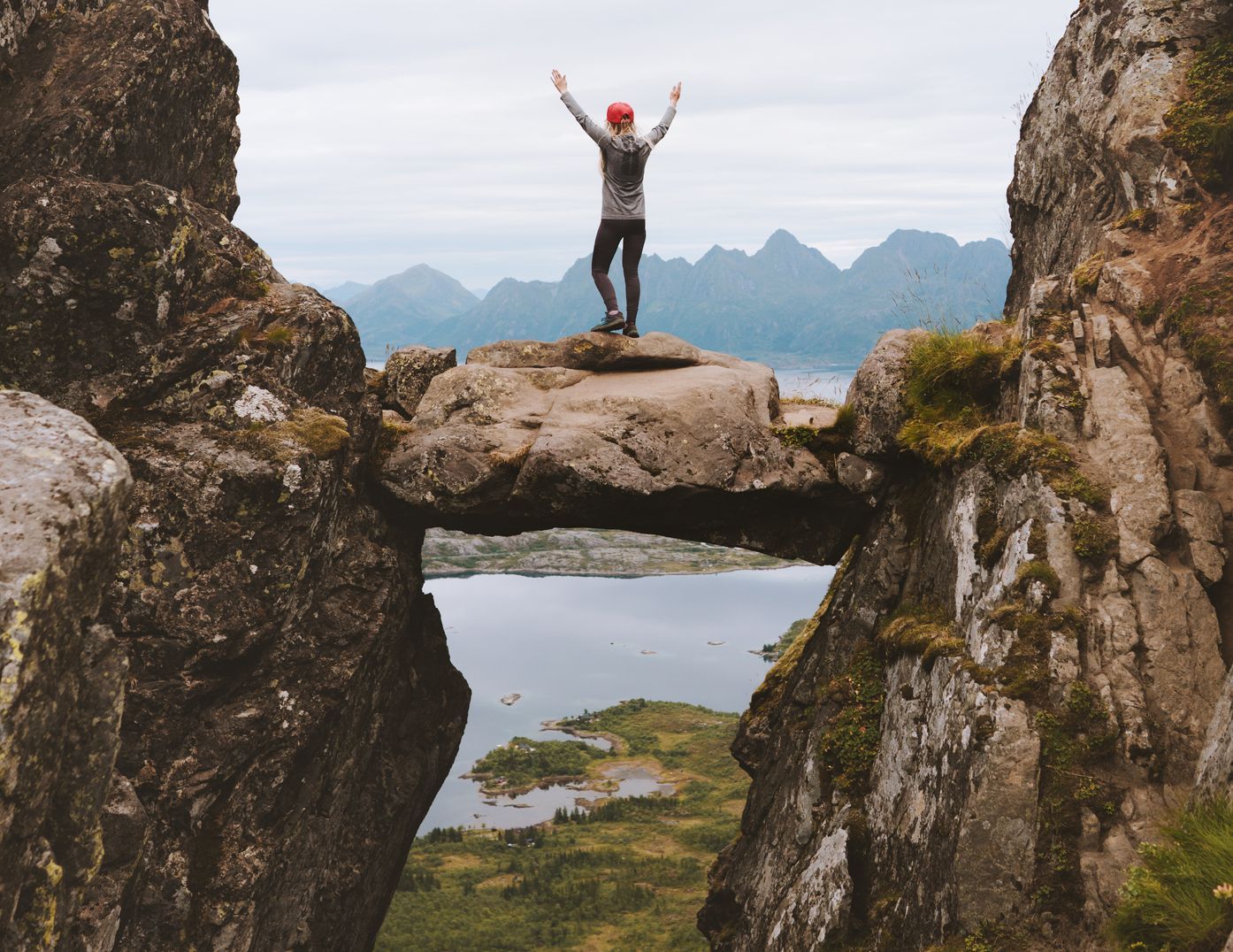
This hike begins in the Lofoten Islands’ capital, Svolvær, and climbs steeply up to the summit of Mount Fløya (590m). You’ll begin the climb by ascending stone sherpa steps known as the Djeveltrappa, or Devil’s Stairs. They’ll take you past the Svolvaergeita or ‘The Goat’, a stone pinnacle with two ‘ears’ at the top that’s popular with rock climbers. Carry on to Djevelporten (Devil's gate), a rock wedged between a stone gorge to create a stone bridge - yes you can stand on it, but be careful.
Continue your climb to the top of Fløya. The steps end, to be replaced by an exposed trail along the mountain, with steep drops either side. Continue along the ridgeline towards the summit, using your hands where necessary. From the top, there are brilliant views of the Djevelporten, Svolvaergeita, and the town below.
6. Blåtiden Summit Hike
Distance: 3.4 miles (5.5 km)
Elevation: 621m
Hiking time: 3-4 hours
Which island?: Vestvågøya
Blåtiden means ‘Blue Peak’ - it’s so named because of the views of the ocean to the north and the deep blue Vestfjord to the south. The trail begins in Slydalen, an isolated valley with several small farms, and climbs gently up through the grassland towards rockier terrain. During the summer months, you might see cloudberries and bilberries along the route - a delicious hiking snack.
Around 50 to 100 metres from the top, it becomes much steeper, and you might lose track of the path. Follow the ridge eastwards towards the summit. There is some easy scrambling involved (ropes aren’t needed). The panoramic view of the Vestfjord from the top will make it all worthwhile.
7. Eggum to Unstad Coastal Hike
Distance: 6.8miles (11km)
Elevation: 184m
Hiking time: 4 hours
Which island?: Vestvågøy
A gorgeous coastal hike across cliffs and hillside, between the wild beaches of Eggum and Unstad. Beginning at Eggum, you’ll start at Borga, which is a radar station from World War II. To your right is the sea, and mountains loom to your left. You’ll pass an abstract sculpture, ‘Head’, by Markus Raetz, and the imposing Heimredalsvatnet Lake.
From here, the path gets rockier and narrower as it hugs the side of the hills towards Unstad. It’s clearly signed, so you’ll find your way easily. Once you reach the beach, treat yourself to cinnamon buns and hot coffee from the nearby surf school before returning the way you came.
Other Things to Do in the Lofoten Islands
Wild Camping
Like the rest of Norway, the Lofoten Islands adhere to ‘Allemannsretten’, or a right to roam. This means that wild camping is permitted, as long as you’re 150 metres from the nearest building, and on uncultivated land. The best spots are those which aren’t accessible by road, such as the uninhabited islands in the Rolvsfjord, for example.
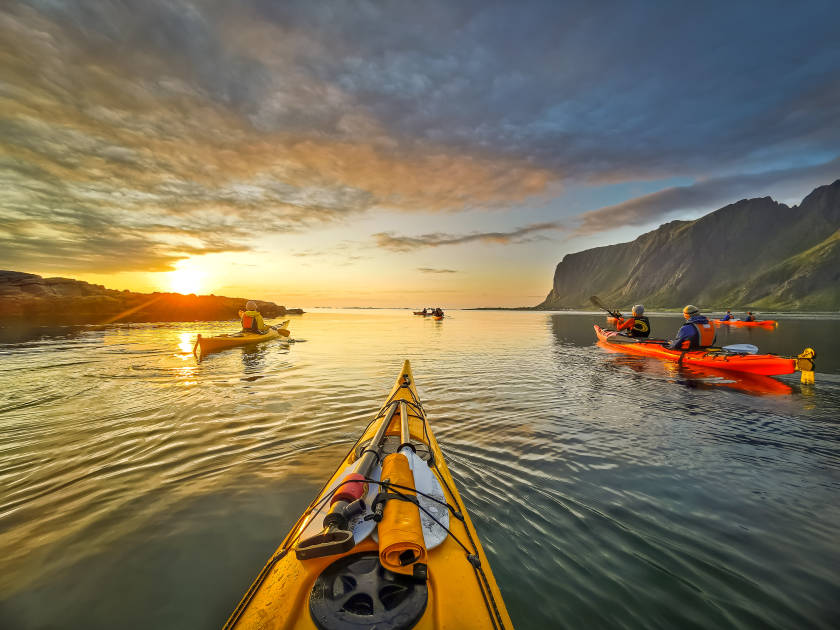
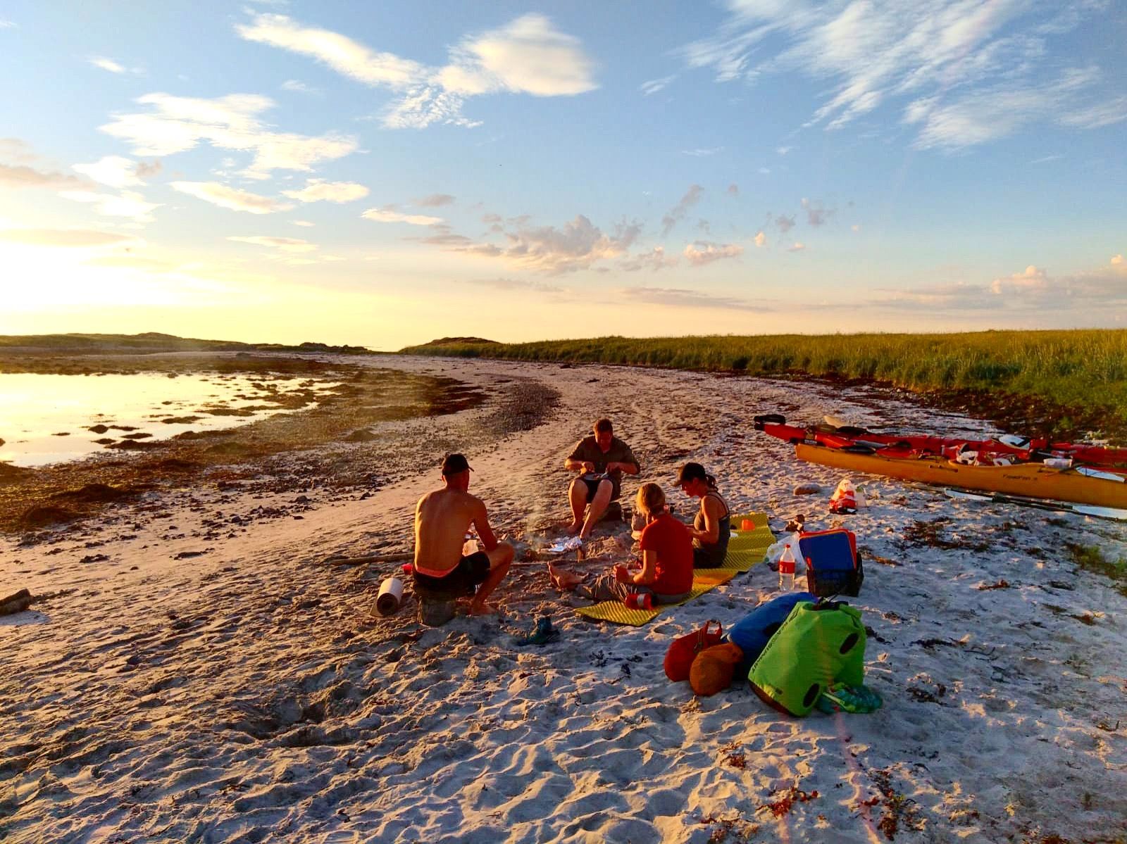
Kayaking
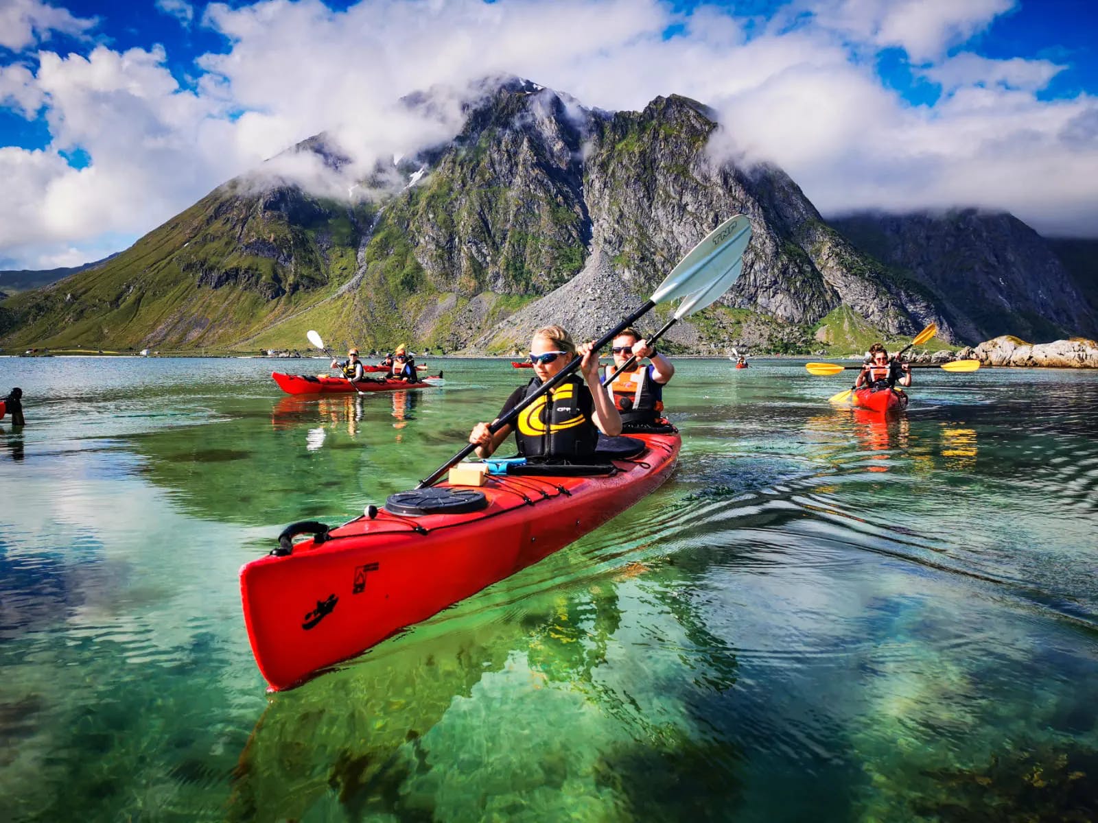
Travelling by kayak allows you to visit areas of the islands which aren’t accessible by road. Create your own mini expedition through the archipelago, wild camping on uninhabited islets, and stopping off at fishing villages to restock. The nature reserve of Eggum is an ideal kayaking destination - eyes peeled for dolphins, seals and eagles.
Rock Climbing
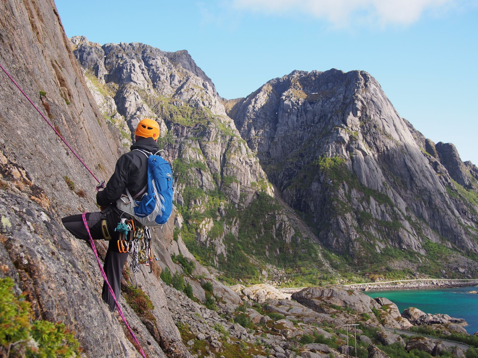
The Lofoten Islands are popular with rock climbers, thanks to the huge number of granite crags and pinnacles - plus, there are spectacular sea views. Popular spots include Presten, a 500m rock wall rising from the ocean, and the iconic Svolvaergeita. Newbies to the sport can enjoy guided climbing with one of the many outdoor operators on the island.
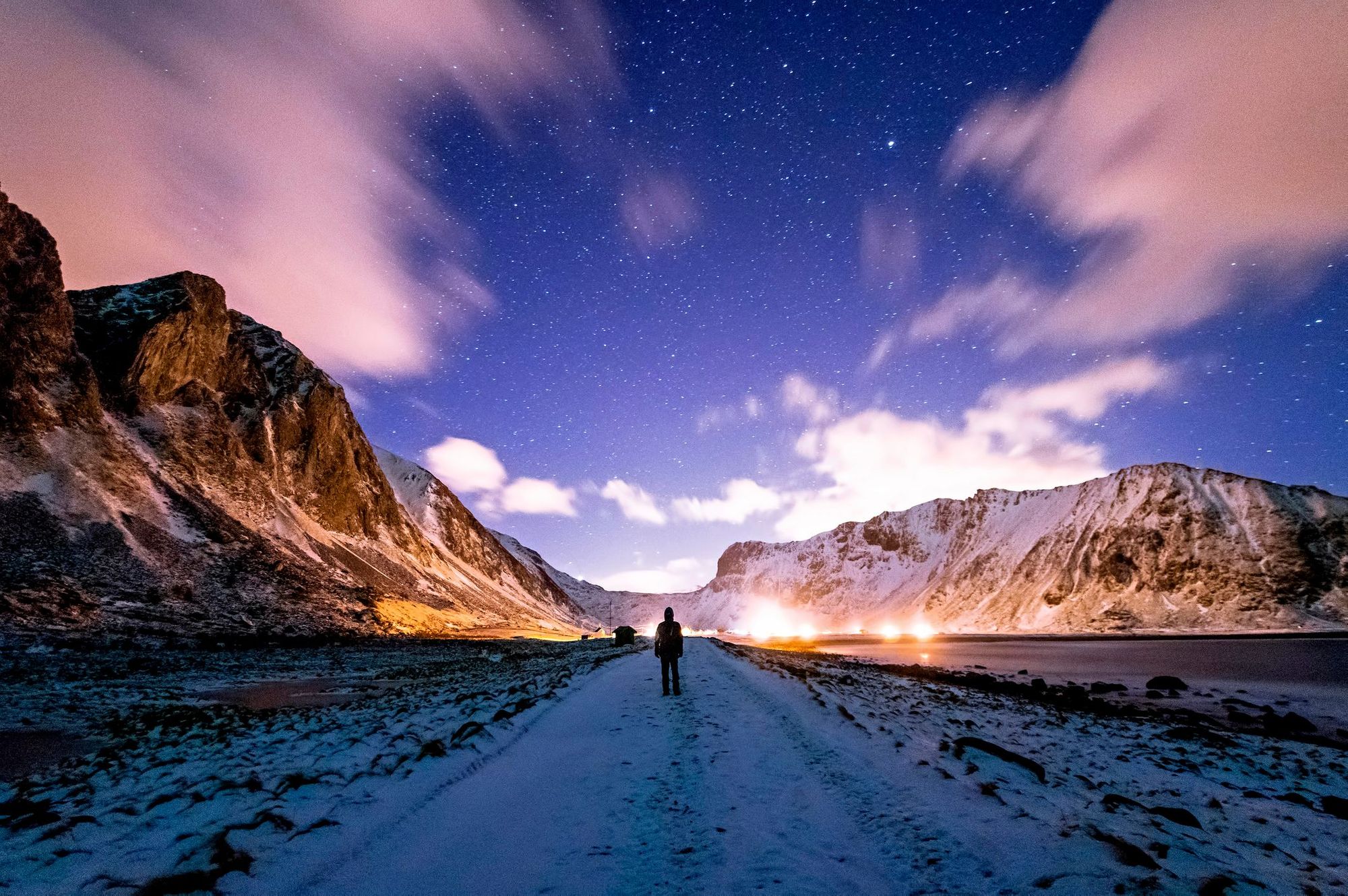
Aurora Hunting
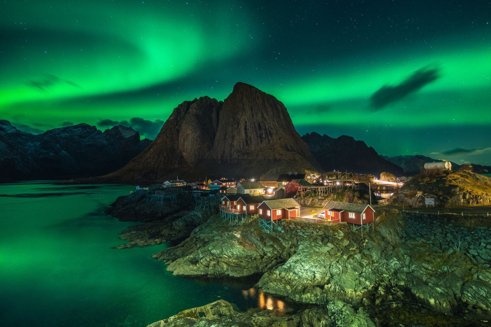
The Lofoten Islands are just beneath the auroral oval,where the northern lights display is at its clearest. Come during the winter months and you have a good chance of seeing them. The aurora will be brightest the further you are from city lights, so try heading out to one of the archipelago’s remote beaches in search of them.
When is the Best Time to Visit the Lofoten Islands?
One of the most popular times to visit the Lofoten Islands is from late spring to early autumn, when you have the best chance of good weather. From late May to mid-July. During this time, the sun doesn’t set, meaning you can enjoy round-the-clock adventuring. From early December to early January the sun doesn’t rise, but come in February to March and you’ll enjoy northern lights spotting, and hiking away from the crowds. The nearby Gulf Stream means temperatures hover around 1°C during the winter months.
How to Get to the Lofoten Islands
There are two domestic airports in Lofoten in Svolvær and Leknes, with most flights transferring through Bodø Airport on the Norwegian mainland. Although this is the most convenient option, it’s also the most expensive - most people prefer to fly to Bodø Airport, rent a car and then take the ferry over to Moskenes, on Lofoten.
Another popular option is to fly to Harstad/Narvik Airport directly from Oslo, then rent a car and drive directly to the Lofoten Islands. It’s 102.5 miles (165 km) to Svolvær and 146 miles (235km) to Leknes.
Enjoyed this? You might like The Lofoten Islands: A Photographic Guide
Inspired? Check out our Kayak, Hike and Wild Camp the Lofoten Islands adventure, or our Hike, Kayak and Chase the Aurora in Lofoten adventure.