


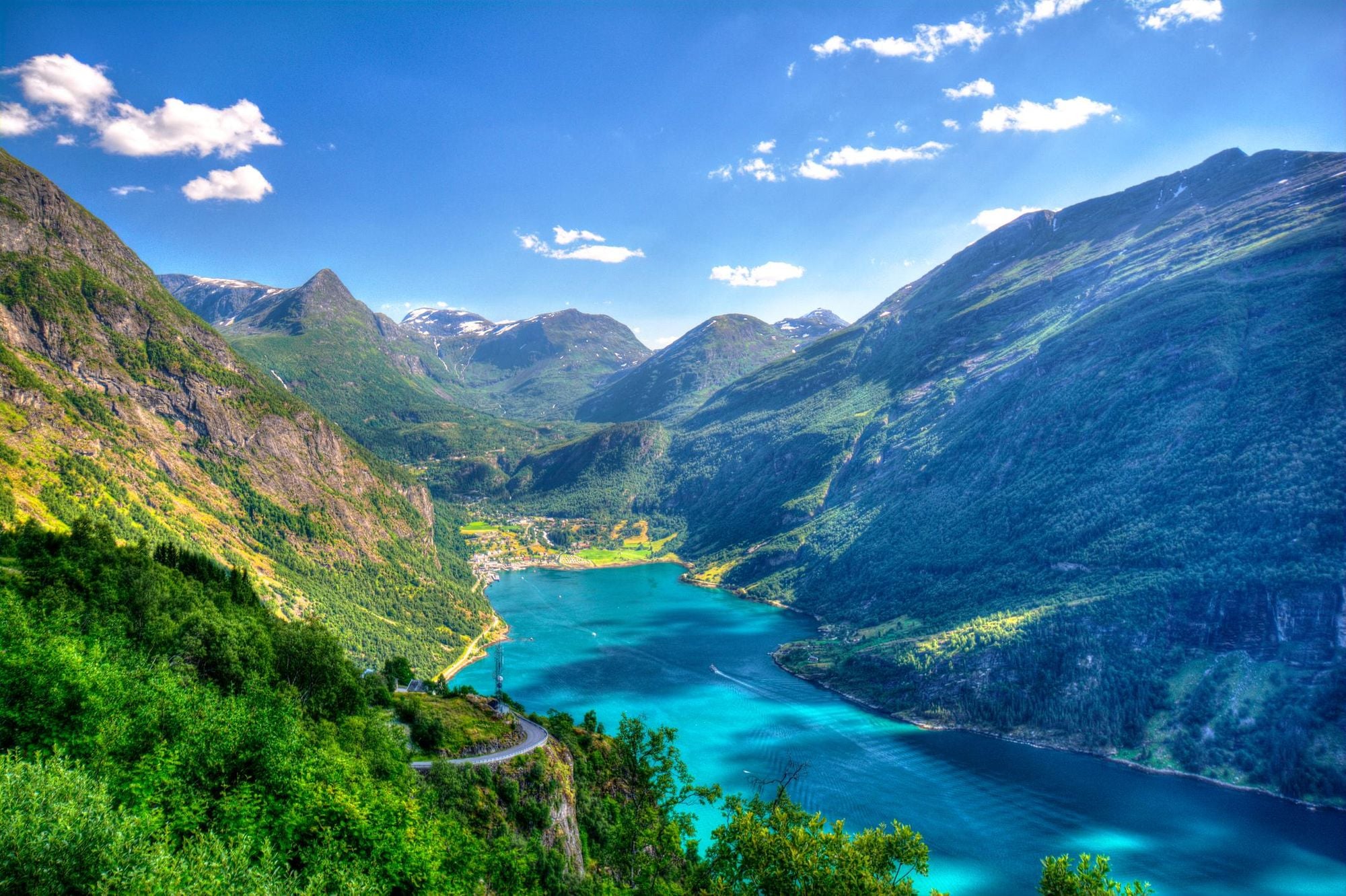
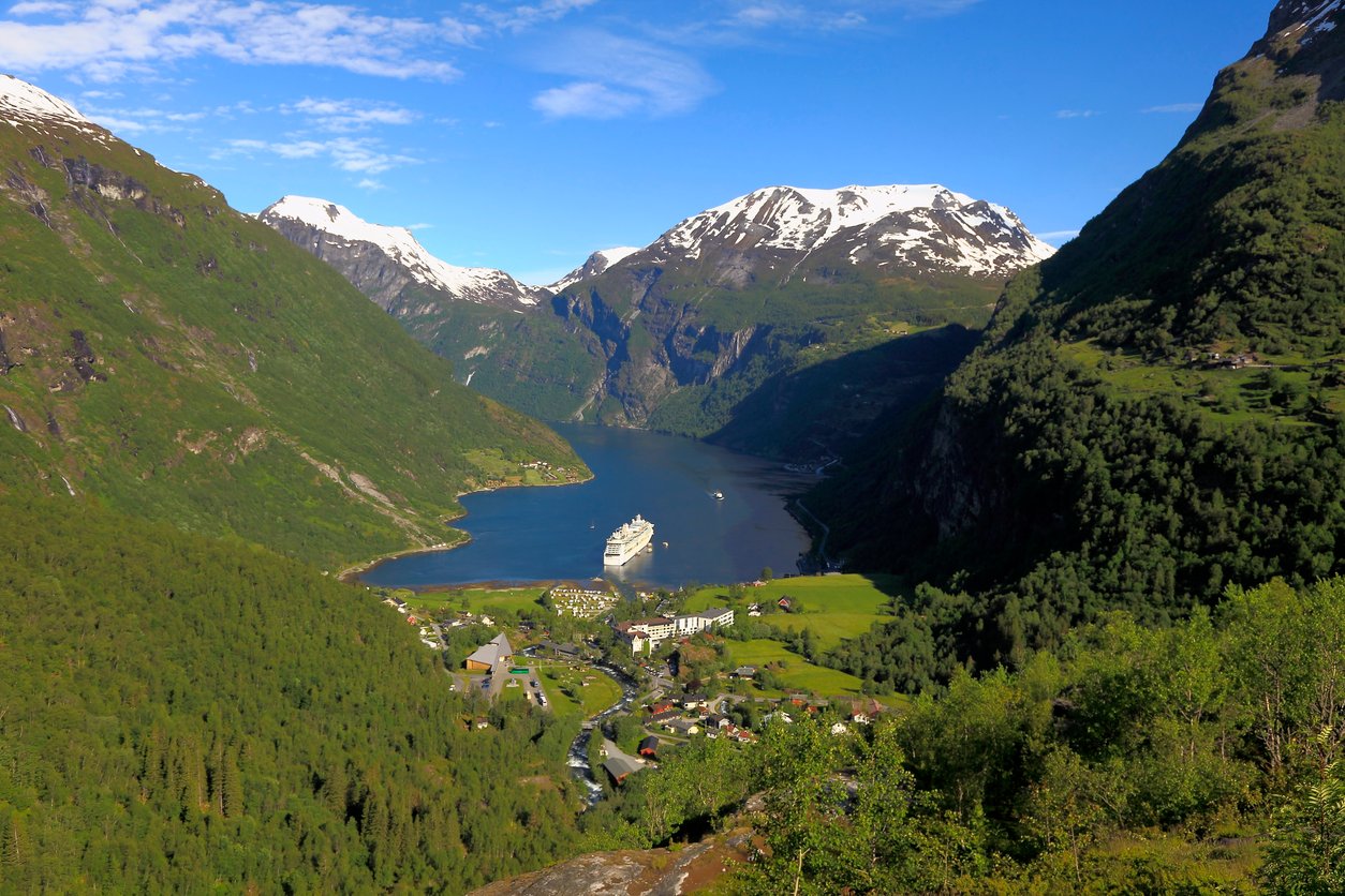
Geiranger, Norway is a picturesque tourist village at the head of the Geirangerfjord - the jewel in the crown of the Norwegian fjords - on the west coast of the country. This is the gateway to one of the two UNESCO-listed fjords that make up the West Norwegian Fjords World Heritage Site (the other being the Nærøyfjord), and it draws visitors one simple reason - it is one of the most beautiful stretches of water in the world. This guide covers how to get to Geiranger, when to go, what to do and where to hike while you're there. While cruises are popular on the Geirangerfjord, our focus is on seeing the fjord from the cockpit of a kayak, not a ferry deck.
Here's everything you need to get your adventure started in Geiranger, Norway.

What is the Geirangerfjord?
The Geirangerfjord is a remarkable fjord system - a 9.3-mile (15km) stretch of water, branching off the Storfjord system in Møre og Romsdal county, western Norway, lined by cliffs which rise as high as 1,700m (5,577ft) above the water.
The Geirangerfjord was designated a UNESCO World Heritage Site in 2005 - alongside the Nærøyfjord, under the title of the West Norwegian Fjords - and the village of Geiranger sits right at the head of the fjord, looking down the barrel.
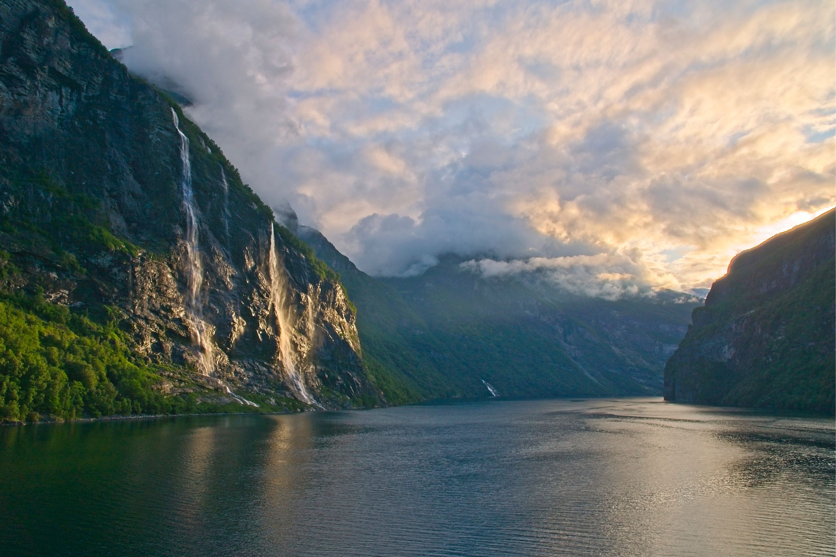
The fjord is hugely popular with tourists, not least because Disney used the cliffs and waterfalls here as a reference for the kingdom of Arendelle in Frozen. The most famous of those waterfalls is the Seven Sisters, a site comprising of seven separate streams falling down a cliff face from 410m (1,345ft). Opposite it, there is a single stream fall known as The Suitor, with the old folk tales telling of how the Suitor was eternally trying (and failing) to win the favour of the Sisters.
Along the Geirangerfjord, there are farms wedged onto the and in between the cliffs, including one at Skageflå, an abandoned farm dotted with grass-roofed cabins which is the focal point of a popular hike. The walk is 8.4 miles (or 13.6km) out-and-back from Geiranger. and takes you to a stunning viewpoint onto the fjord. On a sunny day, the water glows green, coloured by the glacial meltwater.
How do you get to Geiranger?
There are three key ways to reach Geiranger:
- The Hellesylt–Geiranger ferry across the fjord
- By road via the Eagle Road or Trollstigen
- By flying into Ålesund and driving the rest of the way. There are daily flights from both Oslo and Bergen. The resulting drive is two and a half hours.
You can also get the bus to Geiranger from Oslo or Bergen. From both it’s around a nine to 10 hour journey. If you’re driving of course, it’s a little - but not much - quicker, and note that in winter. While you can’t get the train from Bergen to Geiranger, a train from Oslo to Dombås the Åndalsnes will take around five and a half hours, then you'll need to connect on a bus. The views are fantastic.
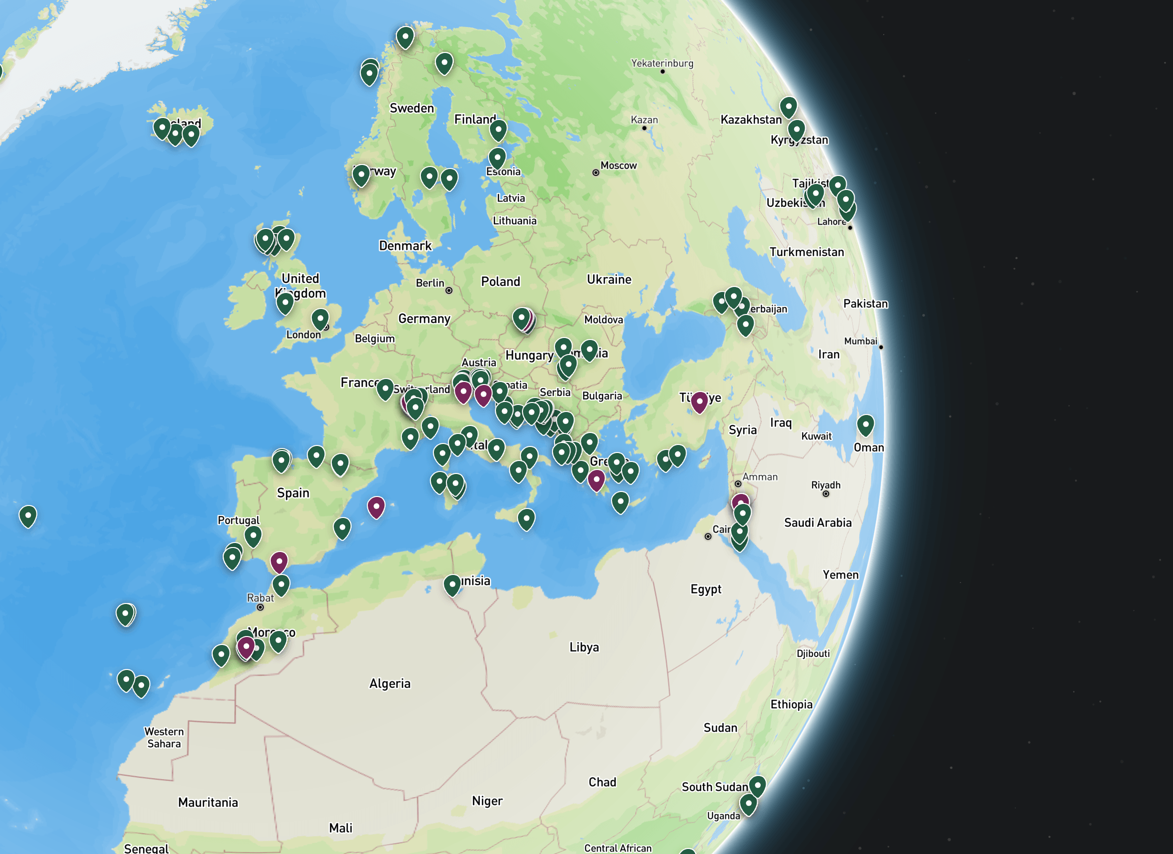
To give you your bearings a little, here’s a map (and if you want a full Norway fjords map, click that link):
Geiranger is actually the third biggest cruise ship port in Norway, with hundreds of thousands of tourists passing through Geiranger each summer, making it one of the most visited tourist sites in Norway. Ferries run across the fjord, for sightseeing and for transport purposes, and as of 1 January 2026, all ferries and tourist boats must operate on emission-free energy sources to protect the area.
The Hellesylt to Geiranger ferry
The ferry ride from Hellesylt to Geiranger takes around an hour. It runs from March to mid-December depending on the operator, and it's the one of the best ways to see the waterfalls here without booking a cruise. The ferries sail past the Seven Sisters and the Suitor, past Skageflå, and past farms and shoreline smallholdings that were lived in and worked until as recently as the 1960s.
| Route | Duration | Season | Booking |
|---|---|---|---|
| Hellesylt ↔ Geiranger | ~1 hour (65 min) | Roughly March–mid-December | Foot passengers: no booking needed. Cars: booking recommended in high season (May–Sept) |
Foot passengers can simply turn up at the ferry port to get on the boat. If you're bringing a car, book ahead in summer, when the crossing is busiest.
By road and by air
There are two scenic driving routes that lead in and out of Geiranger. From the north, the Eagle Road (Ørnevegen) climbs out of the village in a run of hairpins to a viewpoint that's become an attraction in its own right. From Åndalsnes, the Trollstigen route brings you in via eleven more hairpins and a viewpoint down over the valley — but it's a seasonal road, normally open from late April to October or November, and closed completely through winter, so check current status if you're travelling outside summer.
There's no airport in Geiranger itself. The nearest is Ålesund Airport (AES), with daily flights from Oslo and Bergen taking under an hour. From Ålesund, it's roughly 108km (67 miles) to Geiranger — about two and a half hours by car, including a short ferry hop across the Eidsdal–Linge crossing. Buses and trains also run from Oslo and Bergen, though they take considerably longer: the train from Oslo to the region takes around five and a half hours, and buses from either city run nine to ten hours.
By road and by air
There are two scenic routes lead in and out of Geiranger for those arriving by car. From the north, the Eagle Road (Ørnevegen) climbs out of the village on hairpin bends to a famous viewpoint. From Åndalsnes, the Trollstigen route brings you in via 11 more hairpins and a valley view - but it's a seasonal road, normally open from late April to October or November, and closed through winter.
There's no airport in Geiranger. The nearest is Ålesund Airport (AES), with daily flights from Oslo and Bergen taking under an hour. From Ålesund, it's roughly 108km (67 miles) to Geiranger, two and a half hours by car, including a ferry hop across the Eidsdal-Linge crossing. The train from Oslo to the area takes five and a half hours, and buses from either Oslo to Bergen are nine to 10 hours.
What are the best things to do in Geiranger?
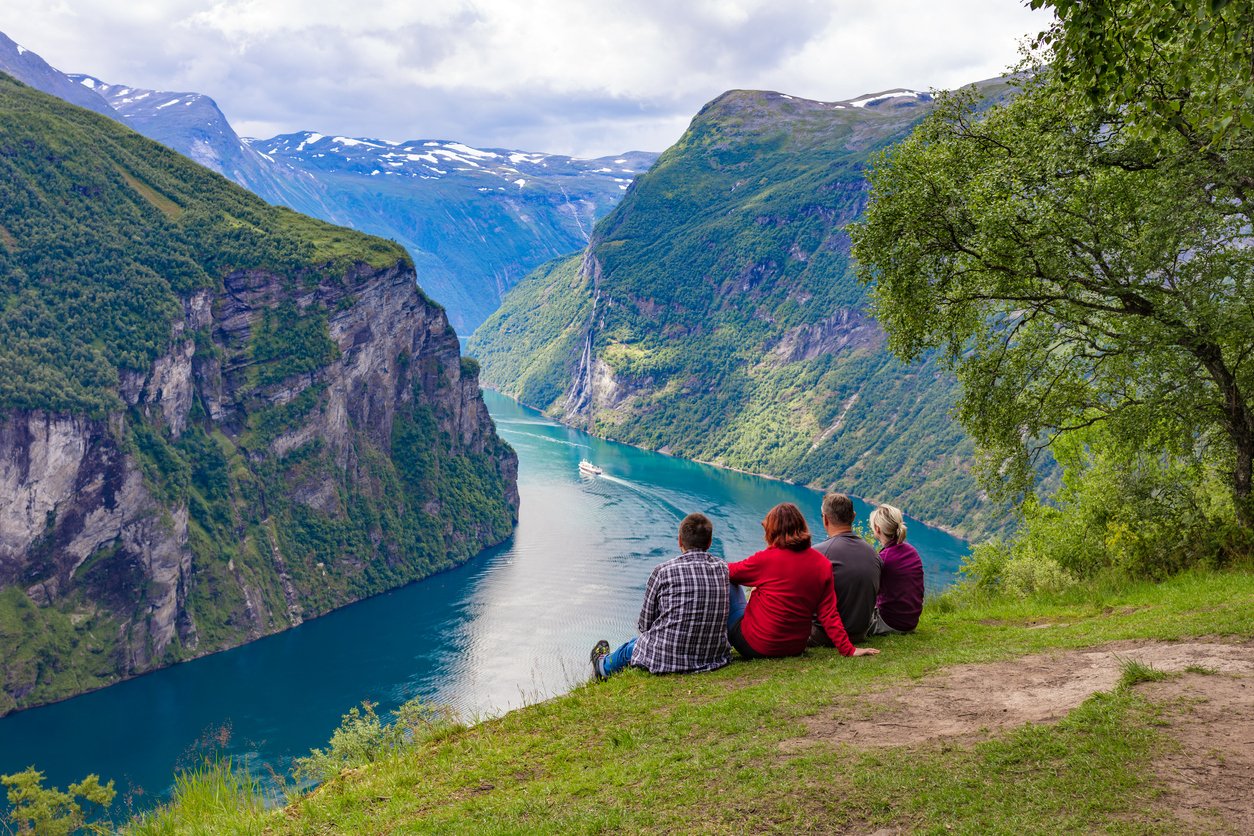
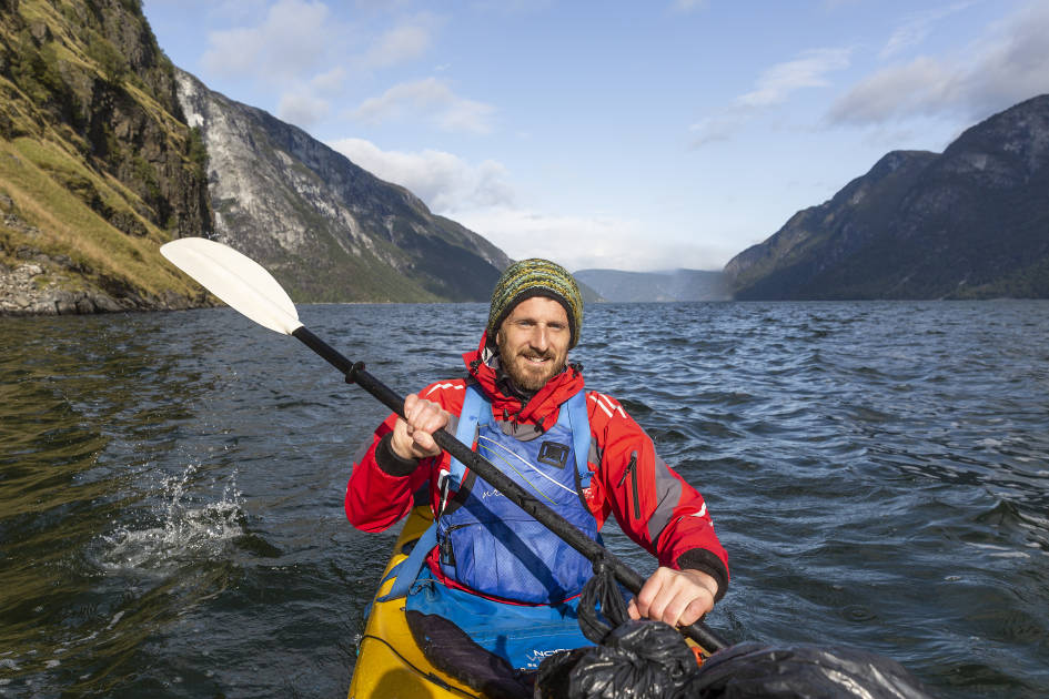
In our view, the best ways to see the Geirangerfjord are self-powered - in the cockpit of a kayak with a paddle in hand, or on foot, on a scenic hiking trail.
Kayaking is the best way to feel the power of the cliffs of the Geirangerfjord, and close enough to feel the spray of the famous waterfalls. Hiking is the best way to get up above the fjord walls, and to put their magnitude into perspective. It should be noted that winter conditions can make these hikes inaccessible -
- Hike to Storsæterfossen waterfall. A well signposted hike which even has a stand with walking sticks at the start. You’ll follow a stone route with hundreds of steps made by Sherpas from Nepal, and finished in 2014, and end up behind the Storsæterfossen waterfall, which will be falling over your head.
- Hike to Skageflå Farm. Take a boat out to the base of the cliffs, then climb a steep route up to the abandoned farm at Skageflå. Here, you'll find a series of old, wooden farmhouses with grass roofs, and a sublime view over the fjord.
- Hike the mail route at Ljøbrekka. A walk with 35 hairpin turns to Herdalsbrekka, following the east side of a lake before going north to Herdalen. This was once part of an 800km long postal trail between the cities of Bergen and Trondheim, and the trail remains popular today.
- Geiranger Kayak Centre. Take to the water for a day of self-guided paddling or better yet, take a two-hour or four-hour guided tour with an expert.
- Visit the Norwegian Fjord Centre. This small museum in Geiranger is the World Heritage centre and an education hub for the West Norwegian Fjords.
- Drive or ride to the viewpoints. Dalsnibba, Flydalsjuvet and Ørnesvingen each provide a different panorama out over Geirangerfjord. At 1,500m (4,912ft) Dalsnibba is the highest viewpoint reachable by road of any fjord in Europe. This is also known as the Geiranger Skywalk platform.
If you're looking to immerse yourself in the fjords, our kayaking in Norway trip offers the opportunity to kayak, hike and wild camp on the Nærøyfjord.
When Should You Visit Geiranger?
The best time to visit Geiranger, and the Norwegian Fjords, is from May to September. This is when the roads are clear, the ferries are running, and when the viewpoints are all open to the public and accessible. June is the peak for waterfalls, while if you're looking to avoid the peak season and cruise tourists, you should opt for May or September. In the winter months, the hiking routes and the roads can be icy, danger and inaccessible, while ferries can also stop.
Can you visit the Geirangerfjord without a cruise?
Yes. Cross the fjord by public ferry, paddle a kayak or go via the Eagle road or Trollstigen. Since 1 January 2026, passenger ships under 10,000 tonnes have been required to run on zero-emission fuel inside Norway's UNESCO fjords, including the Geirangerfjord. Larger cruise ships have until 2032 to comply. This could impact the number of cruises taking place on the fjord in the future.
Where to Hike Near Geiranger?
- Hike behind Storsæterfossen waterfall. A well signed hike on stone steps, leading behind the Storsæterfossen waterfall, with excellent views.
- Hike to Skageflå Farm. A popular route to an old farm with with grass-roofed houses, and a far-reaching, unbeatable view over the fjord.
- Hike the mail route at Ljøbrekka. A hairpin hike along an old mail route. This is a mountain pass hike and a challenging walk.
- Hike to Homlong. Starting at Skagehola and winding up. You’re on the fjord the full time, and earn a beautiful view of the fjord and Seven Sisters waterfall.
For more on hiking the fjords, see: The Most Accessible Fjords to Hike in Norway.
Geiranger FAQs
How many days do you need in Geiranger?
Two full days is enough to see Geiranger. One for the Hellesylt ferry crossing and viewpoints, and one for a hike or a kayak trip on the fjord. Add a third day if you want to combine it with Trollstigen or the Eagle Road as a scenic drive rather than a quick pass-through. To really immerse yourself, camp on the fjord.
Can you swim in the Geirangerfjord?
Yes, you can swim in the Geirangerfjord, though being fed by glacial run-off, the water is cold even in summer. fed as it is by glacial meltwater. On our own fjords trips, a cold-water dip off the cwild ampsite becomes something of a ritual.
Is the Geirangerfjord a UNESCO World Heritage Site?
Yes, the Geirangerfjord has been a UNESCO World Heritage Site since 2005, listed jointly with the Nærøyfjord as the 'West Norwegian Fjords' for their outstanding natural beauty and geology.
How long is the ferry from Hellesylt to Geiranger?
The Hellesylt to Geiranger ferry takes about an hour, running roughly from March to mid-December depending on the operator.
Inspired? Have a look at our adventure holidays in Norway now!