Hiking in Georgia is like nothing else in Europe. Around 85% of the total land area of Georgia is mountainous - that's a whole 50,511 square miles (130,823km²) of pure mountain beauty in one country. Those mountains are huge, too, with numerous peaks exceeding 5,000m (16,404ft). Now, an awful lot of mountains means an awful lot of hiking trails - and here, you'll find everything from big summit climbs to long-distance trails and scenic day hikes.
The best hikes in Georgia showcase the stunning heritage and culture of the country, which has grown from Iberian and Colchian civilisations, whilst immersing you in the vast, dramatic landscape. They are often multi-day hikes, which require pre-booking of mountain refuges or guesthouses. If you're feeling extra intrepid, they can involve a night in a tent, sleeping under the stars.
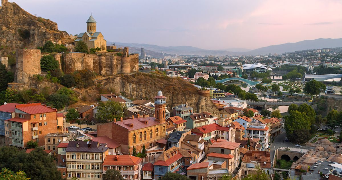
Georgia is home to the Greater Caucasus Mountain Range – one of the most formidable mountain ranges on planet Earth. It is split into the Western, Central and Eastern Caucasus and boasts some of the highest mountains in Europe.
Shkhara, the highest point in Georgia, near the Russian-Georgian border, reaches 5,193m (17,037ft). That’s a full 382m taller than Mont Blanc in France.
People don’t tend to know too much about Georgia, so while certain hub towns can get busy in summer, this isn't a place which is overrun with tourists. With the wealth of hikes and trekking in the Caucasus, that’s sure to change, but until then, keep hush and you might just have the trekking trails all to yourself.
Here are the select routes we've picked out as the best five hikes in Georgia:
- Nikoloz Romanov’s Trail, Borjomi-Kharagauli National Park
- Mestia to Ushguli, Svaneti National Park
- Matskhvarishi to Lentekhi, Svaneti National Park
- Climb Mount Kazbek, Khokh Range
- Okrokana to Zakagori Fortress, Truso Valley
It’s important to note that these route descriptions are only short summaries, designed to inspire but not to serve any navigational purpose. They are not intended to guide you on the route and further mapping and planning (or, ideally, a local guide) will be required to safely walk any of the trails featured.
Here’s our guide to the best walks in Georgia, when to go and where to stay.

The Best Hikes in Georgia: Mapped
Here you can see the distribution of the routes we've marked as the best walking trails in Georgia. You'll notice one route in central Georgia, which is where you'll find the Borjomi-Kharagauli National Park. Two routes are in the Svaneti National Park, in the northwest of the coutnry, while a further two (including Mount Kazbek) sit directly north of the capital of Tbilisi, as the crow flies.
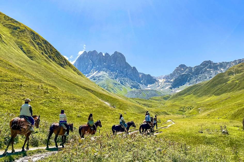
1. Nikoloz Romanov’s Trail, Borjomi-Kharagauli National Park
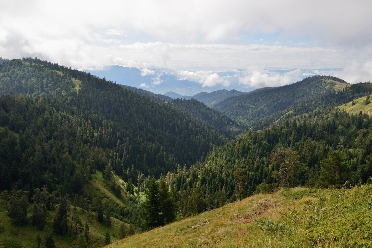
- Start/Finish: Likani Guard Station/Marelisi Guard Station
- Distance: 26.7-mile (43km)
- Walking time: 3 days
- Difficulty: Moderate
- Best for: A first multi-day hike in Georgia
The Borjomi-Kharagauli National Park can be found in the Lesser Caucasus, which are so named because they’re smaller than the Greater Caucasus in terms of length and height. But calling them 'lesser' is a bit like calling someone small because they’re three inches shorter than a professional basketball player. The range spans 328 square miles (851km²), with peaks reaching up to 2,642m (8,667ft) high.
Borjomi-Kharagauli National Park is one of the largest national parks in Georgia, so there are a lot of trekking options in Georgia. It covers more than 1% of the total land area of Georgia – and there are 11 tourist hiking trails which run through the park. Perhaps the finest is Nikoloz Romanov’s Trail, a three-day, 26.7-mile (43km) walk which crosses the park from Likani to Marelisi.
You'll overnight first in the tourist shelter at Lomismta, then ascent to the peak of Lomismta, at 2,198m (7,211ft), from where you can see Ialbuzi (better known as Mount Elbrus), which at 5,642m (18,510ft) is the highest peak of the Greater Caucasus and indeed Europe.
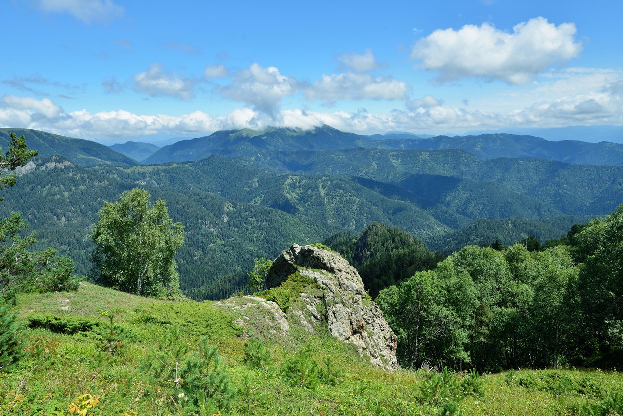
The famous St. Giorgi church is located on Losismta. From here, you'll walk through subalpine meadows before flowing into the Colchic sub-tropical forest zone, and then end day two at the Sakhvlari tourist shelter (at 1,025m/3,362ft) before walking along the Arjola River to the finish point at Marelisi.
This is a great hike for less experienced hikers in Georgia who are still looking for a big challenge and a multi-day hike. It rises to more than 2,000m (6,561ft) above sea level at times, so it’s certainly no walk in the park.
Other options in the Borjomi-Kharagauli National Park include the Panorama Trail, a two-day 21-mile (34km) circular starting at Atskuri guard station, and the Shepherd’s Trail, a three-day, 33.5-mile (54km) trail starting in the Likani River valley, ascending to the Lomismta tourist shelter, 1800m (5,905ft) up, then heading on to the Amarati tourist shelter and back to Atskuri guard station.
The Agency for Protected Areas in Georgia has more detail on each of these hiking routes, and the others which run through Borjomi-Kharagauli National Park. It's a great resource if you're looking to plan your own hike in the Georgian mountains.
2. Mestia to Ushguli, Svaneti National Park
- Start/Finish: Mestia to Ushguli
- Distance: 34 miles (55km)
- Walking time: 4 days
- Difficulty: Moderate to Challenging
- Best for: The essential multi-day hike in Georgia
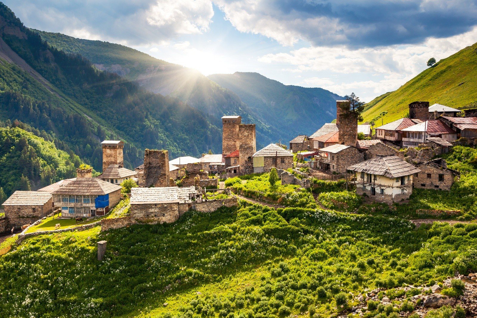
The Mestia to Ushguli multi-day hike through Georgia is probably the most famous and popular route through the country - and for very good reason.
Mestia is known as the capital of Upper Svaneti; an assortment of hamlets with picturesque towers. The first three days of the hike are all about getting up and over the Caucasus ridge, with between 400m-800m (1,312ft-2,624ft) of ascent each day, before a final day descent across the lower reaches of the ridge.
Day one takes you from Mestia to Zhabeshi through the Mulkhura valley, a panoramic valley with lush, green, layering hills. There are various guesthouses in Zhabeshi. The next day takes you on to Adishi on a tough ascent which earns you a magnificent descent with rocky, high mountain views. Day three is on to Iprali, and is perhaps the best day of the trek, walking along the River Adishi valley to the Adishi glacier and then on up the Chkhunderi Pass (2,655m/8,710ft) and to Iprali.
The final day is then a 6.2 mile hike (10km) to Ushguli. This is the easiest day of the route, descending to Lalkhori and following the river to the end of the trail.
3. Matskhvarishi to Lentekhi, Svaneti National Park
- Start/Finish: Matskhvarishi/Lentekhi
- Distance: 27.3 miles (44km)
- Walking time: 3 days
- Difficulty: Moderate to Challenging
- Best for: A multi-day mountain epic
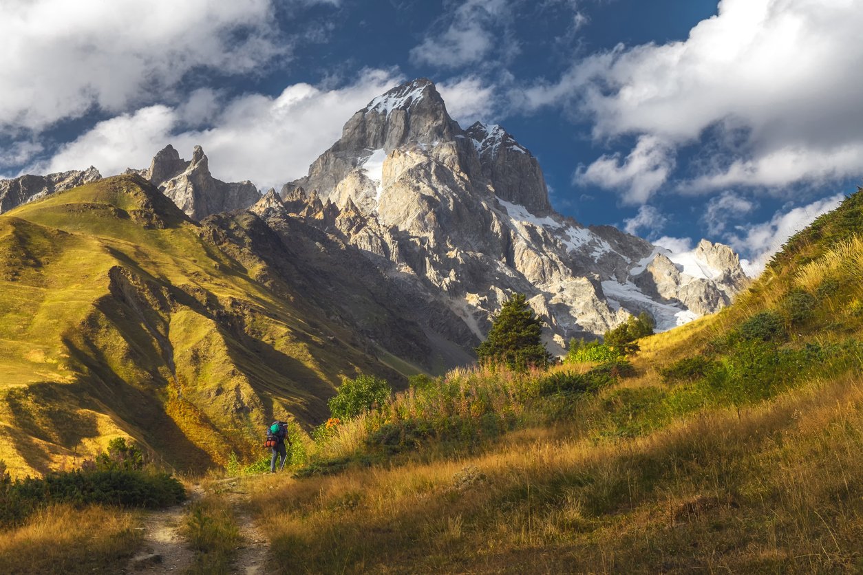
The Matskhvarishi to Lentekhi trail is a beauty of a hike, but you’ll want to be fond of a climb or two. The 27.3 mile (44km) journey has an elevation gain of 3,842m along the way, dropping 4426m in return. To describe the route as in any shape or form flat would be a bit like describing Godzilla as a large cockroach. It’s a bit of an understatement. That doesn’t mean the hike is for experts only, though. When broken down, it can actually be a really manageable and beautiful hike.
This is typically a three-day excursion. Day one starts in the village of Matskhvarishi and rises to St. George Church of Lahili. The next segment is a little more challenging as you head to the Church of St. Michael. The views from here are near unbeatable, though. You can look out over everything from Ushba to Tetnuldi, two stunning peaks. You’ll walk onwards to reach your camp after a day of around 12km and six hours.
Day two is around the same distance, but maybe takes a little longer. This is because you’re heading to the highest point of the route – Mount Chkeeru. It’s up at 3587m (11,768ft), so you can expect some snow on the ground. You’ll next descend to Kvemo Svaneti and Laskadura Gorge and head to your accommodation. Day three sees you descend back down to Lentekhi in a long slog. It’s over 13 miles (21km) and will take the best part of nine to ten hours to walk. It’s not nearly as challenging terrain as the previous, day, however.
4. Climb Mount Kazbek, Khokh Range
- Start/Finish: Gergeti Trinity Church/Stepantsminda
- Distance: 26 miles (42km)
- Walking time: 4-5 days
- Difficulty: Challenging
- Best for: Summit baggers
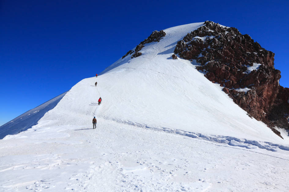
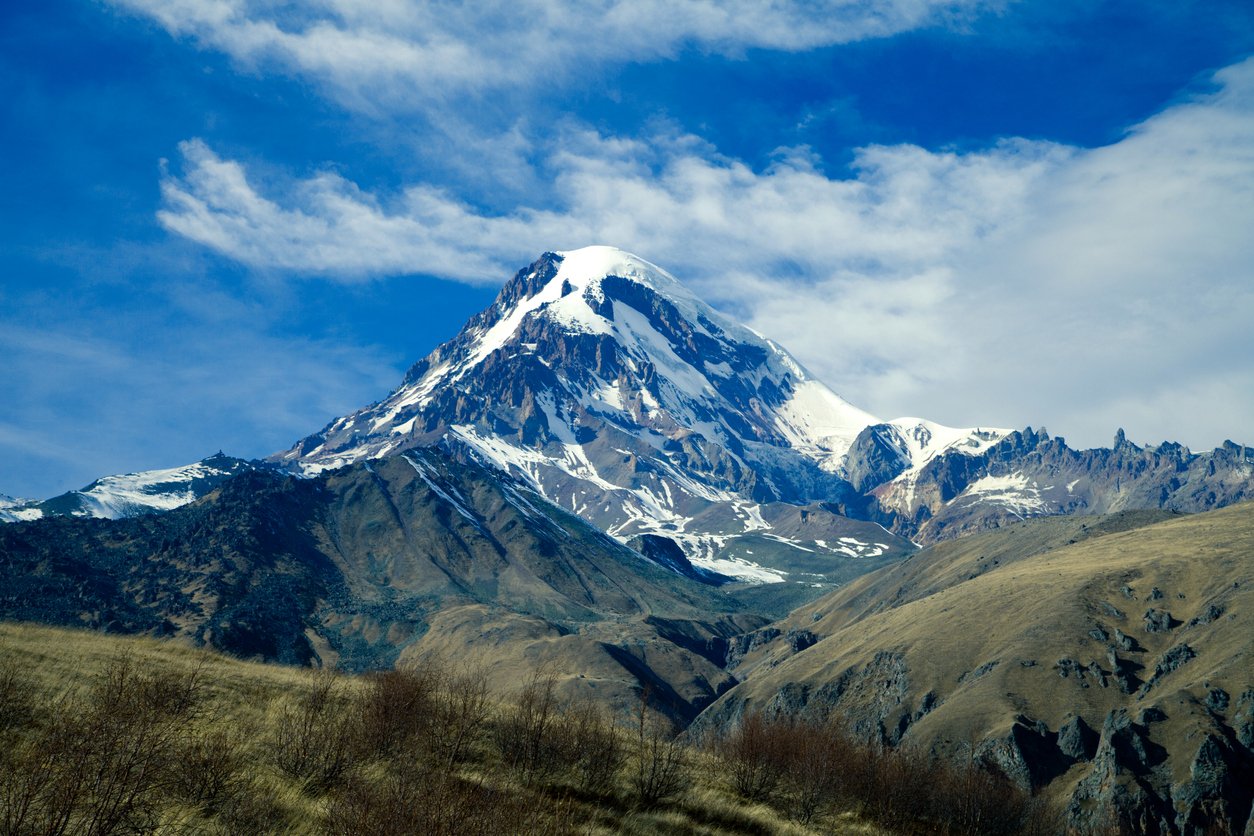
Mount Kazbek stands tall at 5047m - making it one of the highest mountains in Europe. That’s almost four times the size of Ben Nevis, the highest mountain in the UK. Kazbek is the highest mountain in Eastern Georgia. That means that climbing it is not easy. It’s a four or five-day trek (with much of that being acclimatisation time) and it is physically demanding. That said, it’s also non-technical and doesn’t require previous mountaineering experience if you go with a good mountain guide.
“This is the only mountain in or near Europe where you can go up to 5000m without having technical climbing skills,” says David Chichinadze, manager of tour operator M Plus. “That’s not to downgrade the hazards you encounter there. Kazbek is still a very high mountain - you have to be fit and confident on your crampons. But climbing it is possible, which is what makes it attractive."

There are numerous places to start your trek, but Gergeti Trinity Church (pictured below) at 2,150m (7,053ft), one of the most famous landmarks in Georgia, perched on a hilltop with a stunning backdrop of fierce mountains, is surely the finest.
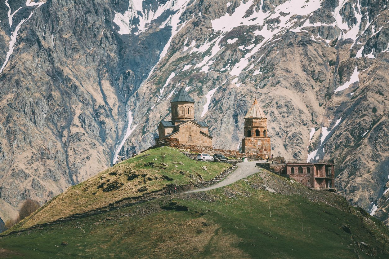
From here it's a short, steep hike up to the scenic Altihut, where you'll base yourself for the next couple of nights. Further acclimatising hikes from here include ascends of the Arsha Pass, with views over the Sno Valley, Chaukhi Mountains and Truso Valley, and a hike to Betlemi Church (3,930m/12,893ft), after which you can check into the Meteo Station, not far below the church.
It's from here that you'll head to the summit of Mount Kazbek, rising early, before the sun rises and heading on up the narrow, snow and ice-covered mountain flanks, through the middle of a glacier. The final 100m climb to the top is particularly challenging, but the view from the top, out over all of the Caucasus mountains and all of Georgia, is truly breathtaking.
Descend safely and the day should be about 11 hours of trekking, with an ascent and descent of 1,147m (3,763ft) each way. This is one of the highest mountains in the world that you can reach without any mountaineering experience required, but it is extremely demanding; requiring physical fitness and resilience.
5. Okrokana to Zakagori Fortress, Truso Valley
- Start/Finish: Okrokana to Zakagori Fortress
- Distance: 13.5 miles (22km)
- Walking time: 4-6 hours
- Difficulty: Easy to moderate
- Best for: A scenic day hike
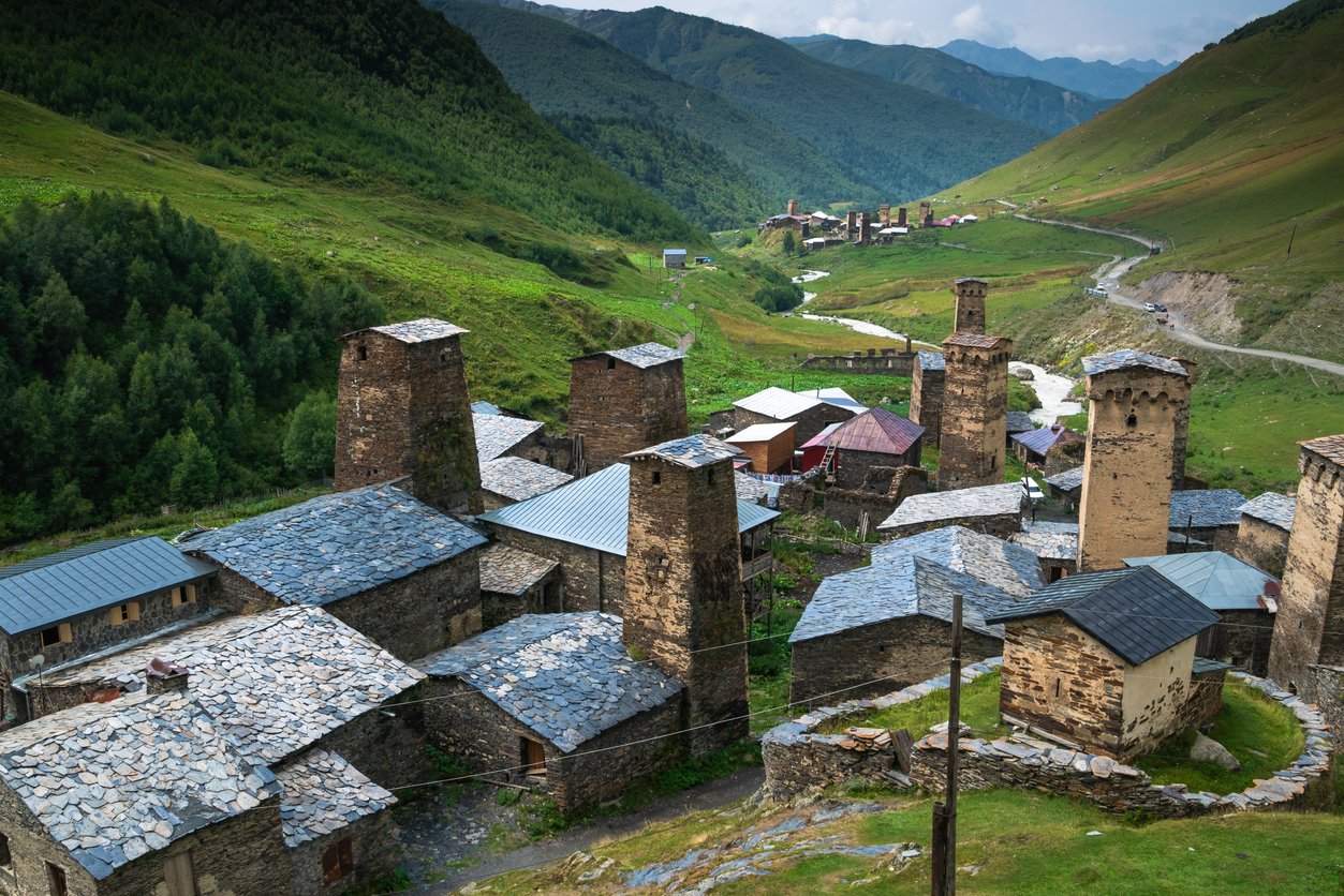
All of our routes so far have been multi-day epics which take a good bit of planning and/or are extremely challenging physically. This hike is more accessible than those, and will see you walk beneath the mighty mountains of the Caucasus, which surround the route, and pass through villages, both lively and abandoned entirely.
Starting from Okrokana, you'll stroll up a hillside and follow the curve of the river before entering a wider stretch of the Truso Valley. This is when the mountains, which are very likely to be snow-capped, will come into view. You'll soon arrive at Abano Mineral Lake. The 'lake' is actually a lot smaller than the name suggests, but is well worth seeing. It's a karst lake created by a carbon dioxide-filled underground stream, causing the lake to boil loudly.
From here, you'll come walk to Ketrisi, an old (largely empty) village with impressive watchtowers and tpass monasteries before arriving at the ruins of the Zakagori Fortress. The towers look over over the sprawling greenery of the valley.
The best time for this hike is from early May to late September, to avoid snow.
What is the Best Time to Hike in Georgia?
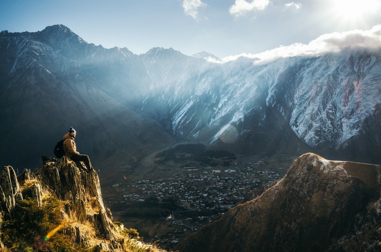
The late spring and early summer months are the best time to go hiking in Georgia. That said, the country remains popular for hikers right through to September.
In July and August the trails can get extremely warm, while if you’re heading to the Georgian mountains in winter time, you’d best bring your skis. There will be snow - so much so that the high mountains become extremely difficult to navigate. Even in summer, the snow remains on the higher mountains, and if you ascend the highest peaks, including Kazbek, then you're likely to encounter ice and snow.
With mountains so high, the weather can change in an instant, so you really need to be prepared for every eventuality when you go hiking in Georgia. This means planning in advance, having the right equipment and knowing how to use it.
What Animals Live in Georgia?
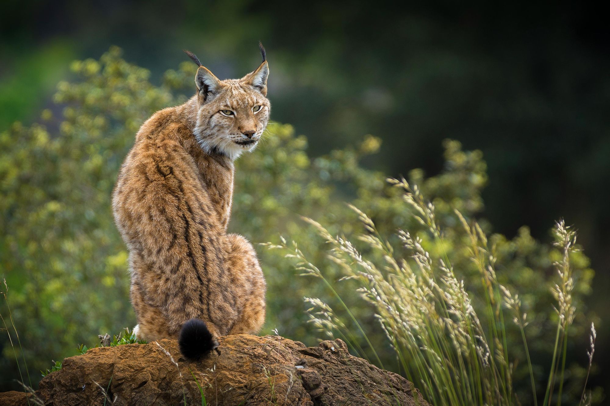
You can find lynx in the mountains of Georgia, while Eurasian wolves also roam the mountains. In Georgia, the wolf represents strength and courage, and the animal is present throughout Georgian folklore. It's part of the national identity.
Elsewhere, you'll find everything from bears and leopards to pelicans and flamingos and red-footed falcons. On the mountain, look out for the Caucasian Tur, which is like a mountain goat, and the Caspian red deer, as well as boar.
Where to Stay in Georgia?
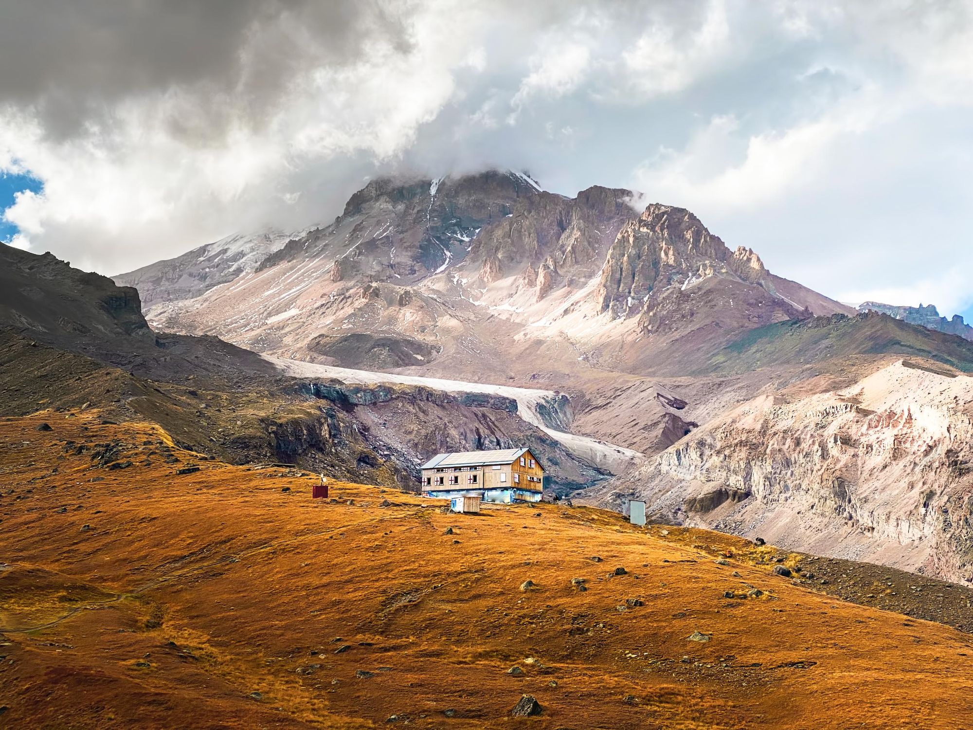
When you're hiking in Georgia, you usually have one of three options. You can either base yourself in a hotel, hostel or guesthouse in a town that you're passing through, you can stay at a mountain refuge, or you can pitch up at a campsite.
The AltiHut, pictured above, is one of the most famous mountain refuges in the country, and is commonly used en route to climbing Mount Kazbek. It is a 45-bed hostel at 3,014m (21,116ft) where you book a bunk bed and munch on hearty meals like cheese dumplings or cabbage and beetroot soup, served with fresh bed.
Whatever option you opt for, we'd recommend booking in advance, as particularly in rural and remote areas of the country, accommodation options can book out early.
What to Eat in Georgia?

A few specialities to look out for include khinkali, which are little dumplings stuffed with either meat or vegetables, plus spices, or khachapuri, a pastry stuffed with cheese. Chahohbili is a traditional chicken dish, stewed in a sauce of spices, while vegetarians should keep an eye out for lobio, which is a bean dish cooked with coriander, walnuts, garlic and onion. You'll find this prepared hot and cold.
How to Get to (and Around) Georgia?
Bus: Most towns in Georgia have a bus service of some sort. There are also minibus services known as a marshrutka. If you're travelling to a remote village or town, this bus is likely to be infrequent - possibly once in the morning and once again in the afternoon or later. Larger towns have more frequent services.
Car: Driving in the big cities of Georgia can be quite hectic, while out in the remote areas, you can expect some rough roads. Research the specific route you'll be taking before you go to see if you'll need a 4x4 (it is relatively likely).
Train: There are both regular trains and overnight trains to/from/in Georgia. There are regular overnight trains from the capital of Georgia, Tbilisi, to the capital of Azerbaijan, Baku and Yerevan, the capital of Armenia.
Inspired? Check out our full range of hikes in Georgia now!


