


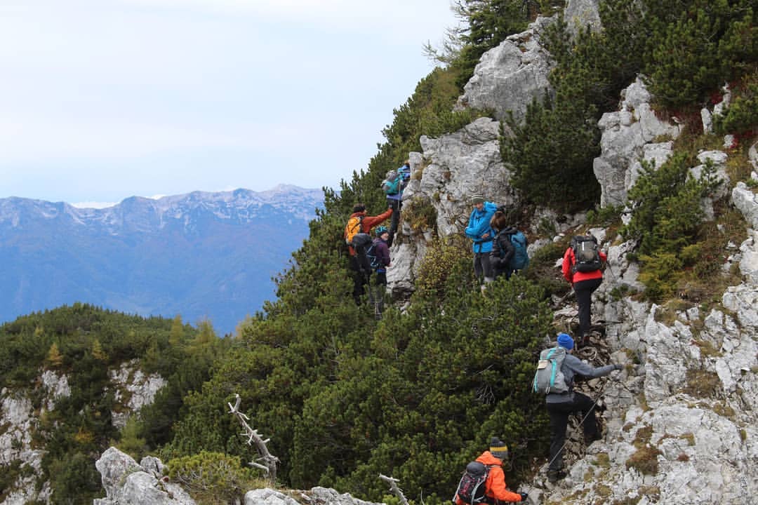
It is tough for any European country to match Slovenia in terms of natural diversity and beauty. A full 60% of the the country is covered forest, and if you go to the right places, you can find emerald green rivers running through those mosaic landscapes, lined by karst limestone and backdropped by immense, dramatic mountains. Needless to say, then, there are also a lot of excellent hiking trails in the country - be those by the rivers or up in those mountains. So where do you start? Here, we've picked out five excellent hiking trails around Slovenia that highlight the diversity of the country:
- Climb Mount Triglav
- The Juliana Trail (Stage 8): Bohinjska Bistrica to Podbrdo
- Alpe-Adria Trail (Stage 23): Kranjska Gora - Trenta
- Alpe-Adria Trail (Stage 24): The Soča Trail
- Lake Bled and Osojnica Viewpoint Loop
These walks vary dramatically in length and difficulty. If you take on the Triglav climb, for example, you will encounter via ferratas, so you should either be extremely experienced and well-researched, or up there with a trained guide.


It’s important to note that these route descriptions are only short summaries, designed to inspire but not to serve any navigational purpose. They are not intended to guide you on the route and further mapping and planning (or a local guide!) will be required if you want to safely walk any of the trails featured.
When to Go Hiking in Slovenia?
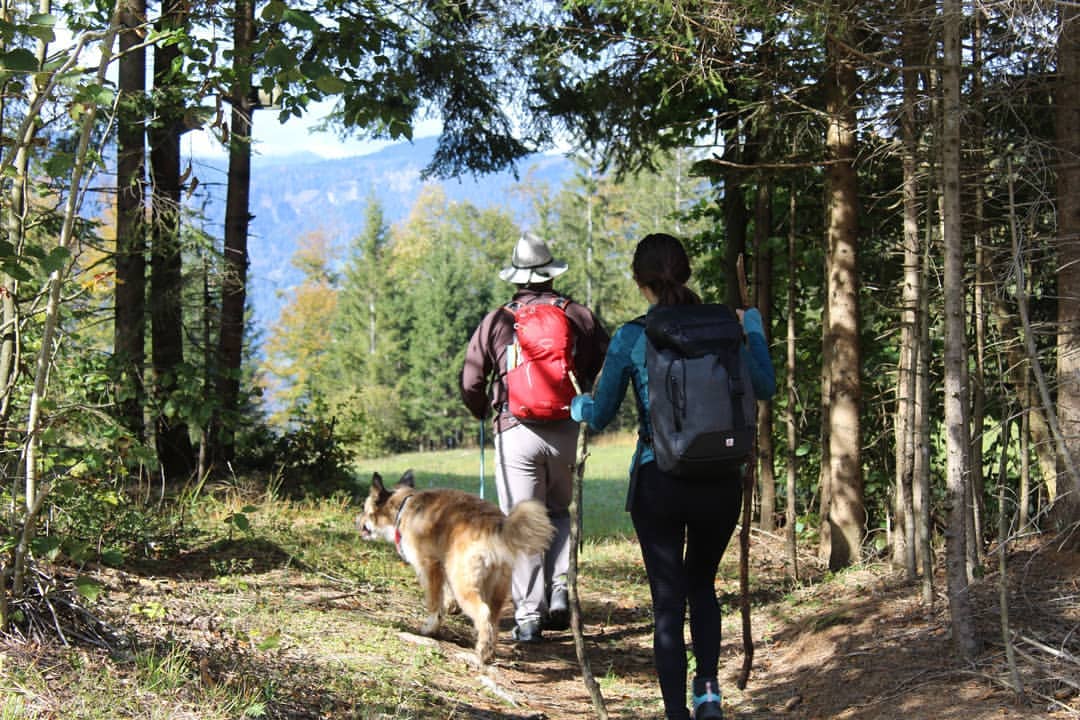
Typically the trail weather is at its best between June and September for hiking. The high routes are prone to snow, though (very much including Triglav), so sometimes it's better to wait for July to climb those - and of course, this is a mountainous country, so the weather can shift quickly, even in summer. Come prepared and do your research before setting off. Outside of summer, there’ll be even more snow, of course. If you come in winter, it may be best to come on skis.
1. Climb Mount Triglav
- Start/Finish: Various options
- Walking time: 2 days
- Length: 11-16 miles (18-26km)
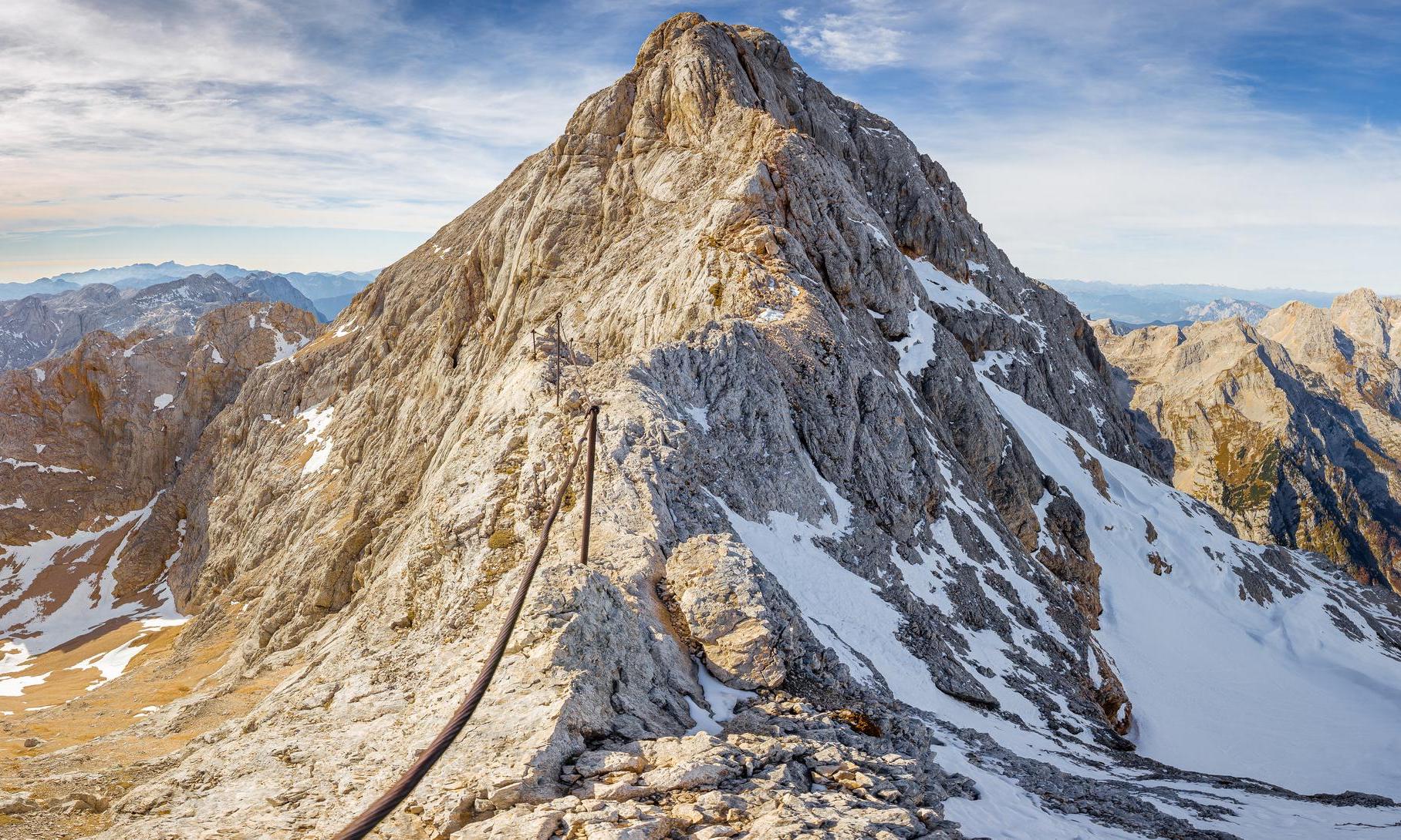
It’s often said that in order to become a true Slovenia, you must climb up the highest mountain in the country - Mount Triglav (2,864m/9,396ft). The mountain is iconic. It’s on the flag and it gives its name to the National Park which surrounds it. It was previously the highest mountain in Yugoslavia, a symbol of resistance during WW2 - and it now adorns the 50 cent coin here.
Much Better Adventures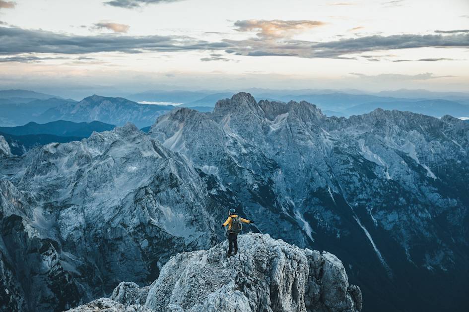
There are numerous routes to the summit of Mount Triglav. All of these culminate in one of various - famously vertigo-inducing - via ferrata options, meaning specialist equipment (such as helmets and harnesses) is required. A head for heights is very much needed here, and a mountain guide (or extensive experience) is too. This is an ascent which is technically demanding.
When you’ve reached the top, you’ll have earned it. It’s usually a two day venture, trekking up to a mountain hut on your first day, spending the night in the mountains, then getting up early the next morning to summit the mountain and descend. It’s best done from July to October.
2. The Juliana Trail (Stage 8): Bohinjska Bistrica to Podbrdo
- Start/Finish: Bohinjska Bistrica-Podbrdo
- Walking time: 5-6 hours
- Length: 8.5 miles (13.7km)
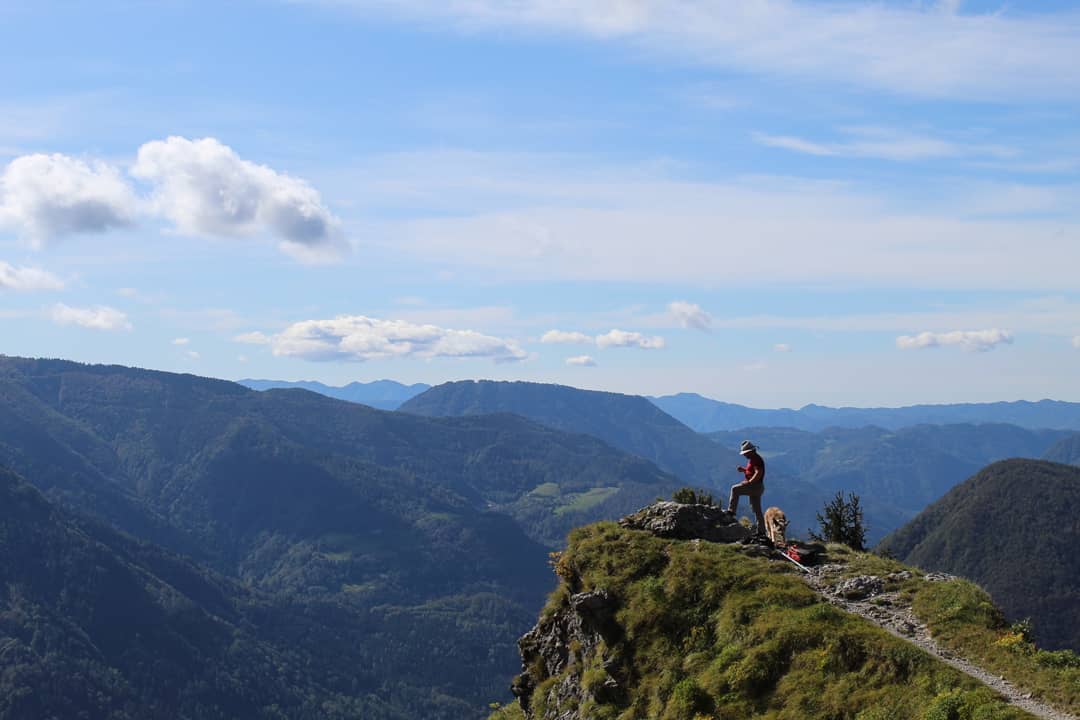
The 20-stage Juliana Trail was designed to circle the Julian Alps and Triglav National Park - giving sublime views of the big mountains throughout without ever actually going up them. Stage eight of the route, from Bohinj to Podbrdo, is a beauty - slightly bucking the trend of the trail and involving some big ascents.
Much Better Adventures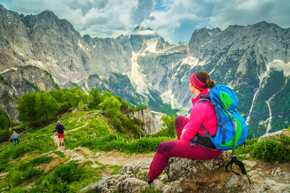
Bohinj is the slightly neglected bigger brother of Bled. Just 20 minutes from Bled, Bohinj is the largest natural lake in Slovenia, backdropped by steep, limestone walls and forests. Leaving one small town and arriving at another, you’ll go via forests, and ultimately a sensational view over the surrounding greenery from the high Vrh Bače saddle. You really get an idea of how green Slovenia is. You’ll pass World War 1 bunkers, panoramas of the Baška Grapa valley, and earn views reaching from the Adriatic Sea out to Mount Triglav.
3. Alpe-Adria Trail (Stage 23): Kranjska Gora - Trenta
- Start/Finish: Kranjska Gora/Trenta
- Walking time: 8-9 hours
- Length: 14 miles (22.6km)
The Alpe-Adria Trail is a 466-mile (750km) mega-trail from Austria to Italy via Slovenia, and stage 23 of the route, which is entirely in Slovenia, is sometimes said to be the best of the lot.
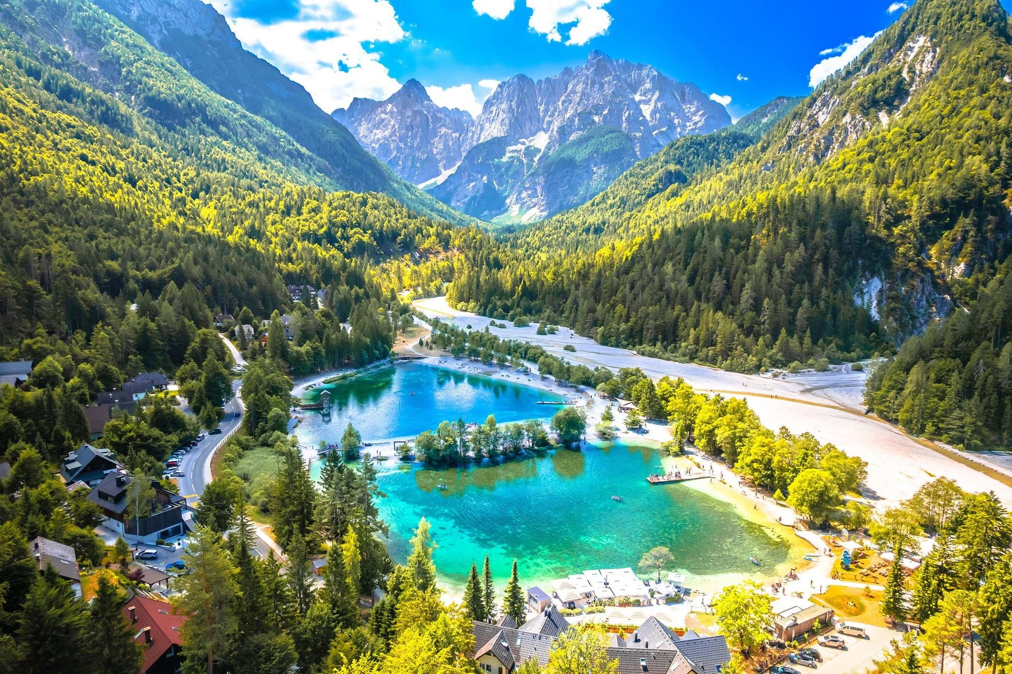
Starting in the mountain town of Kranjska Gora, you’ll pass the Lakes of Jasna, dip in and out of forest, wonder along alpine pastures and by mountain streams and take a donkey trail up to the Vršič Pass, the highest mountain pass of the Julian Alps. On the way you’ll pass the mountain hut Mihov dom and a fascinating wooden chapel, built by Russian soldiers in 1915. Your descent takes you to the source of the turquoise-blue Soča River, and then on to Trenta. The official Alpe-Adria website is a great resource for further details on each stage.
If you’re keen on sampling more of the Alpe-Adria Trail, you could also look at the Alpe-Adria Circular - a seven-day section which forms a loop through Italy, Austria and Slovenia. Or, combine this route with the following hike on this list.
4. Alpe-Adria Trail (Stage 24): The Soča Trail
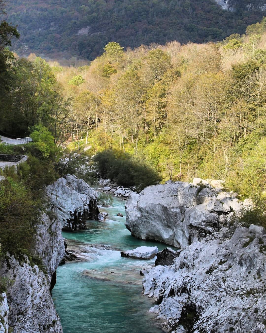
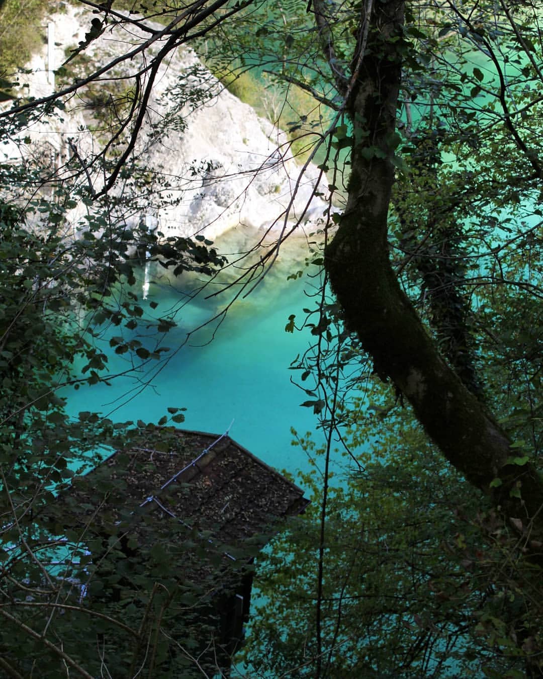
The dreamy greens and blues of the Soča River, flanked by bright grey rocks and forest. Photos: Stuart Kenny
- Start/Finish: Trenta/Bovec
- Walking time: 8-9 hours
- Length: 17 miles (27.4km)
The Soča River is one of the main natural attractions in Slovenia - unforgettable for its emerald green waters, which shine and pop like they're freshly painted.
Much Better Adventures
This route follows the river from the source of the river - the karst spring in the mountains - to Bovec, a delightful mountain town surrounded by the peaks of the Julian Alps. It's also an outdoorsy hub in the country. Along the way, you get the full sense of this majestic river; a secluded and remote waterway which weaves through dramatic grey rocks, overlooked by jagged mountains.
You’ll cross suspension bridges and pass the Dom Trenta Information Centre. As with Kranjska Gora-Trenta, the Soca Trail is part of the Alpe-Adria network.
5. Lake Bled and Osojnica Viewpoint Loop
- Start/Finish: Bled
- Walking time: 4 hours
- Length: 6.2 miles (10km) including Ojstrica viewpoint
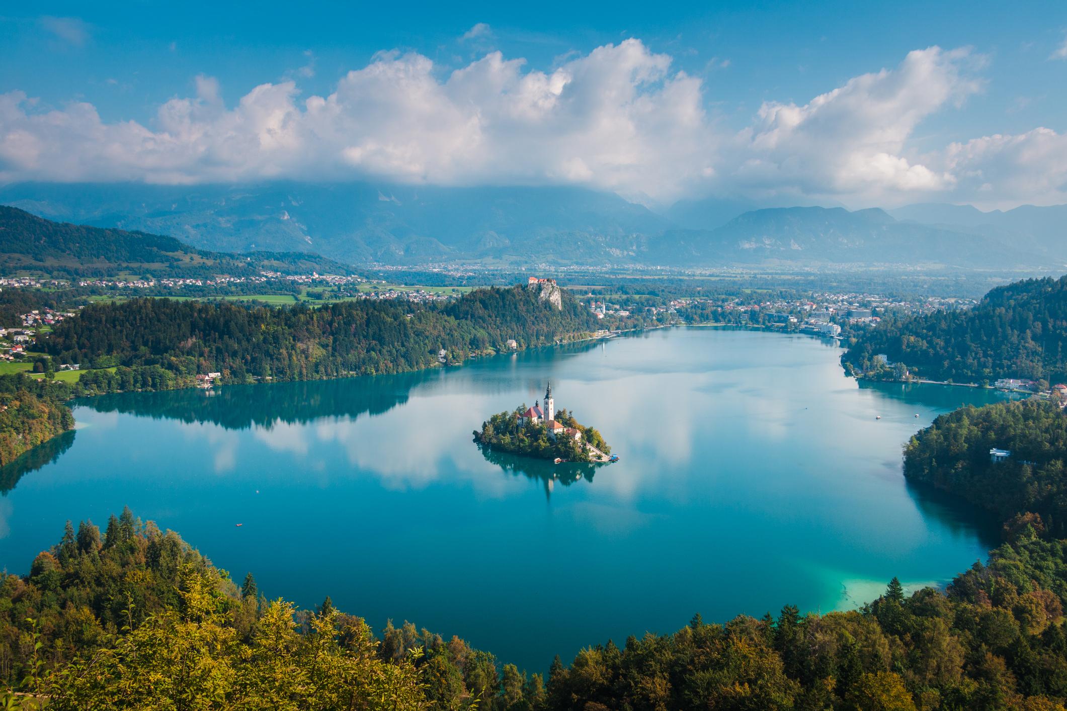
This is the most obvious walk for anyone heading out to Slovenia - but with the perfectly-picturesque church island in the middle and the backdrop of high mountains behind, you can't leave Lake Bled off a list like this.
A circuit of Lake Bled takes one or two hours at an easy pace, covering around 4 miles (6.4km). The path is good and it’s also suitable for cycling around if you’d rather move a bit faster.
If you're on foot, there is a 756m (2,480ft) mountain and viewpoint - Velika Osojnica - which you can add to your hike to extend the walk, and to make it more adventurous. You’ll climb steeply up a hill, passing another popular viewpoint called Ojstrica (meaning ‘sharp peak’) at 611m (2,004ft), and then leaving the crowds behind to reach the summit. Beware, it can be steep and rocky. There are parts near the top of the mountain with cables to help ascent.
Feeling inspired? Check our full range of adventure holidays in Slovenia!