


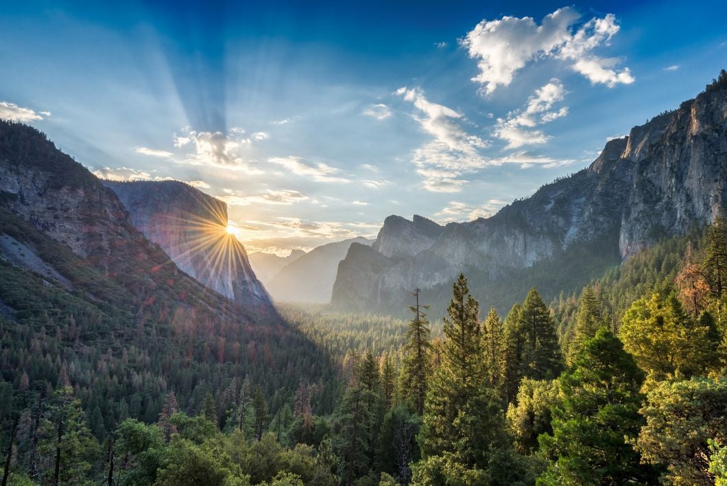
Yosemite is a remarkable location, and the best hikes in the national park showcase that fact. They are walks to the tumbling water of Bridalveil Falls, looking out over Half Dome or the monolith of El Capitan, or looking out over all of those sites from Tunnel View, a legendary roadside viewpoint. Still, the best vistas in this iconic national park are best reached by foot.
Yosemite is a place of rest, a refuge from the roar and dust and weary, nervous, wasting work of the lowlands.
As John Muir, father of the US National Parks, wrote: Yosemite "is a place of rest, a refuge from the roar and dust and weary, nervous, wasting work of the lowlands, in which one gains the advantages of both solitude and society. Nowhere will you find more company of a soothing peace-be-still kind."
Muir became so enamoured by the ecosystems of Yosemite that it led him to conservation. The three-night camping trip he took with President Theodore Roosevelt in Yosemite in 1903 shaped US conservation policy. In 1906, Roosevelt would sign a federal law making Yosemite Valley and Mariposa Grove part of the Yosemite National Park. “Climb the mountains and get their good tidings. Nature’s peace will flow into you as sunshine into trees,” Muir wrote.

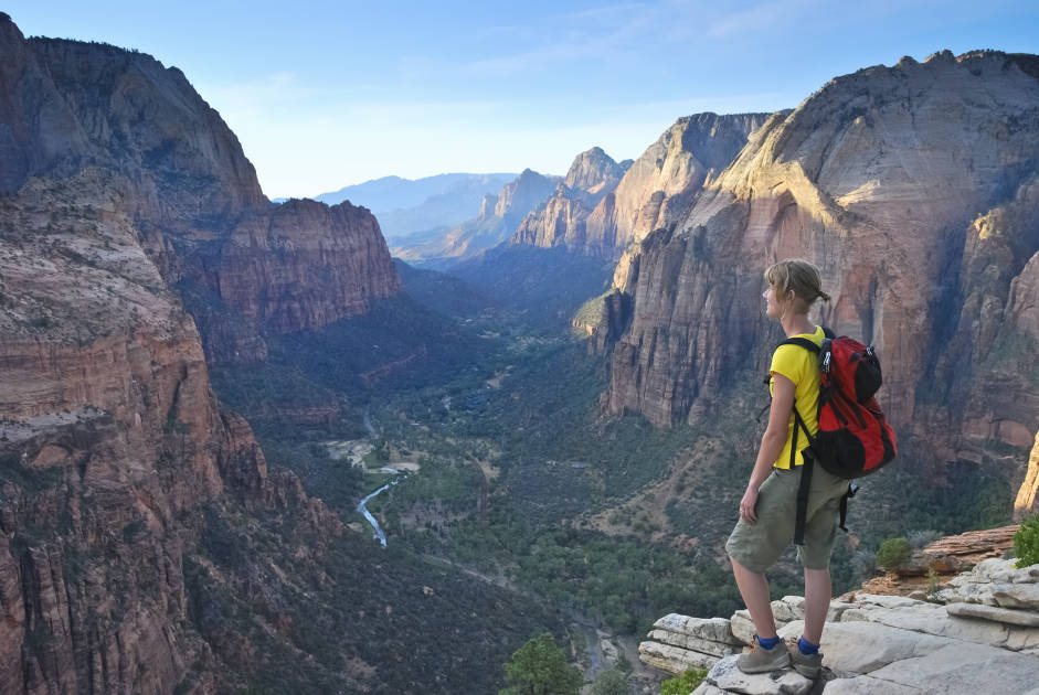
In this guide to the best day hikes in Yosemite, we’re going to look at walks that will allow you to do just that, immersing yourself in that same landscape; of trees, mountains and lakes; of tough climbs - up to remarkable viewpoints.
We've selected these routes as the best day hikes in Yosemite National Park:
- Glen Aulin
- Nevada Falls Hike
- The Half Dome Trail
- Snow Creek Trail
- The Yosemite Falls Trail
- The Four Mile Trail
- Sentinel Dome
It’s important to note that these route descriptions are only short summaries, designed to inspire but not to serve any navigational purpose. They are not intended to guide you on the route and further mapping and planning (or a local guide!) will be required if you want to safely walk any of the trails featured.
Where is Yosemite National Park?
Yosemite is in California's Sierra Nevada Mountains, 32 miles east of Mariposa and a five-hour drive north of Los Angeles, or four-hour drive east from San Francisco. Yosemite is a large space for sure, but it’s not absolutely enormous in terms of US national parks. At 1,187 miles² (3,070km²), it's the 16th largest national park in the US. The Yosemite Falls are also one of the latest waterfalls in the world, crashing down the granite rock from 739m (2,425ft).
7 of the Best Yosemite Day Hikes
The official National Park Service website for Yosemite is an excellent source of information, and a great next step when looking to plan a trip to the park.
1. Glen Aulin Hike
- Start/Finish: Glen Aulin Trailhead, near Lembert Dome
- Distance: 13 miles (21km), out-and-back
- Walking time: 7-10 hours
- Difficulty: Moderate
- Best for: Exploring rivers and meadows
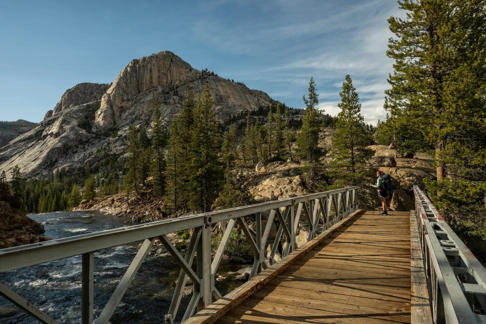
Much of this route follows the Tuolumne River, which meanders through the surrounding meadow, with the high drama of the Cathedral Range up above. You’ll first follow a gravel trail across a meadows to reach Soda Springs, a carbonated water spring. A short distance beyond is Parson’s Memorial Lodge, a stone building built in 1915 by the Sierra Club, which is now a small museum.
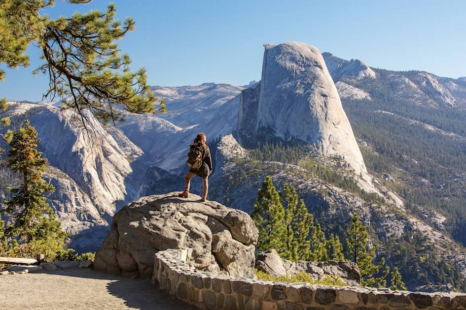
There's a bit of navigation to do, and occasional waymarking, but what lies ahead is a picturesque mix of river, polished granite, natural rock stairs and viewpoints out over the high rock domes, and the pines down below. Glen Aulin itself is known for waterfalls and granite cliffs. You'll see Tuolumne Falls and get two views of White Cascade, a waterfall which pours into a delightful natural pool.
Continue across a footbridge to Glen Aulin’s High Sierra Camp, with luxurious canvas tents perched among granite rock formations and grassland surrounded by pines. Some stay overnight before returning the next day along the same trail.
2. Nevada Falls Hike
- Start/Finish: Happy Isles shuttle stop #16, circuit
- Distance: 6 miles (9.7 km)
- Walking time: 5-8 hours
- Difficulty: Moderate
- Best for: Admiring waterfalls
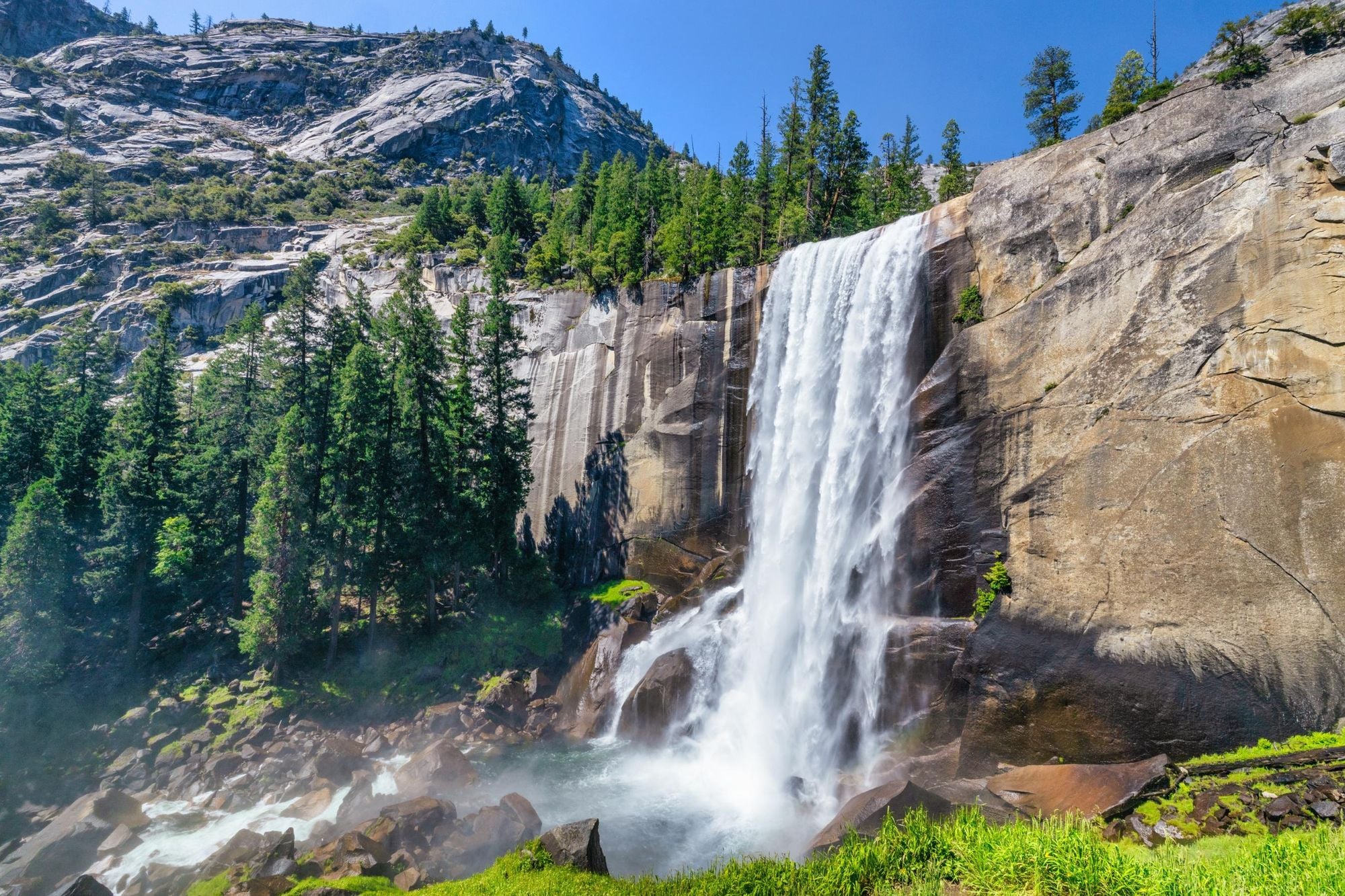
This hike takes you along the Mist Trail and samples the John Muir Trail, offering views of two spectacular waterfalls and the granite cliffs of Yosemite Valley.
You’ll begin hiking uphill along a paved trail; after just under a mile you’ll cross a footbridge and catch sight of Vernal Fall. From here, follow the Mist Trail up a steep granite stairway consisting of more than 600 steps. Spray from the waterfalls can make them slippery, so take care! You’ll have excellent views of the 92.6m (317ft) Vernal Falls as you hike.
Continue along the Mist Trail towards Nevada Fall, passing Emerald Pool and Silver Pool, a gushing cascade on the Merced River.
Never swim or wade in the water near the top of Vernal or Nevada Fall - it's strictly prohibited, because the current is far stronger than it looks. More people have died here than almost anywhere else in Yosemite after being swept over the edge.
Staying on the path, you’ll climb a series of steep rocky switchbacks for around 1.5 miles (2.4km) before reaching Nevada Fall, an 185m-high (594ft) cascade crashing percussively down the granite.
From Nevada Falls, continue over the bridge to join the John Muir Trail and take an alternative route back to your start point. Alternatively, map out your own route using the excellent map on the NPS page for the Vernal Fall and Nevada Fall Trails. Be aware that sections of the Mist Trail sometimes close for repair.
3. The Half Dome Day Hike
- Start/Finish: Happy Isles (Yosemite Valley shuttle stop #16), out-and-back
- Distance: A 16-mile (25km) round trip
- Walking time: 10-12 hours+
- Difficulty: Extremely Challenging
- Best for: A unique Yosemite summit experience
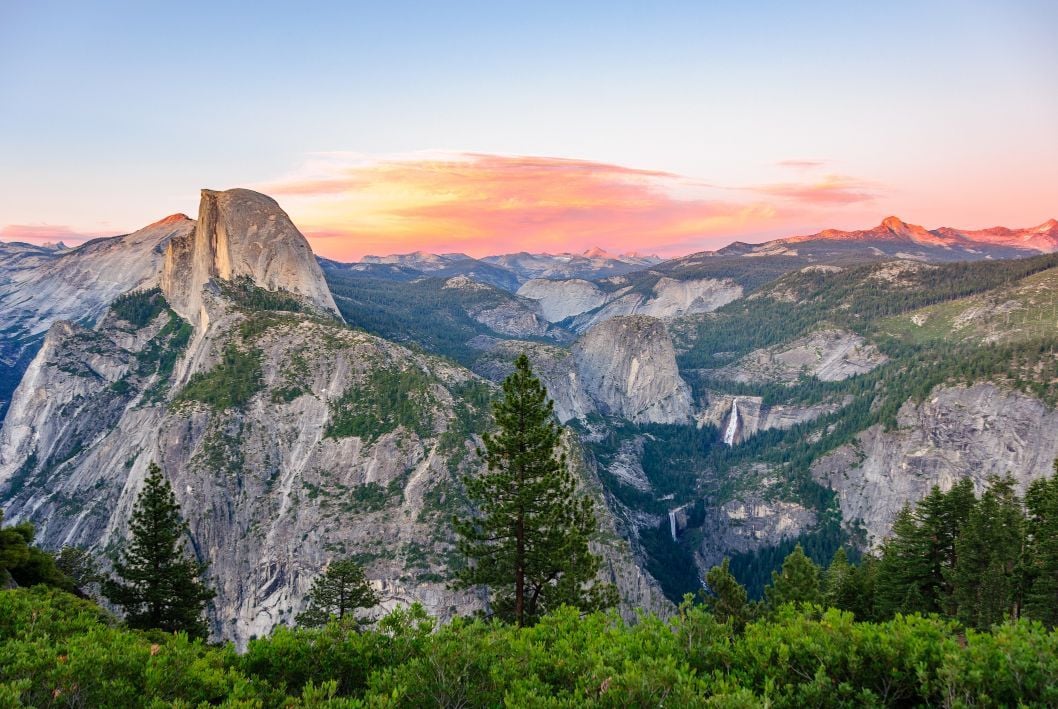
This legendary route will take you all the way to the top of the Half Dome, one of the most iconic sites in all of Yosemite National Park. It’s far from an easy hike, though. From the valley floor, you're looking at a 16-mile round trip with constant ascent - and a cable section which is vertigo-inducing and dangerous.
Before we go any further, it's worth noting that you need a permit to hike Half Dome. These permits are balloted, and have been since 2013, before which large crowds on the cables created a dangerous environment. Hundreds of permits are given out a day but demand is high. You enter the ballot in March and find out the result in April. Less than a quarter of people who apply get a permit.
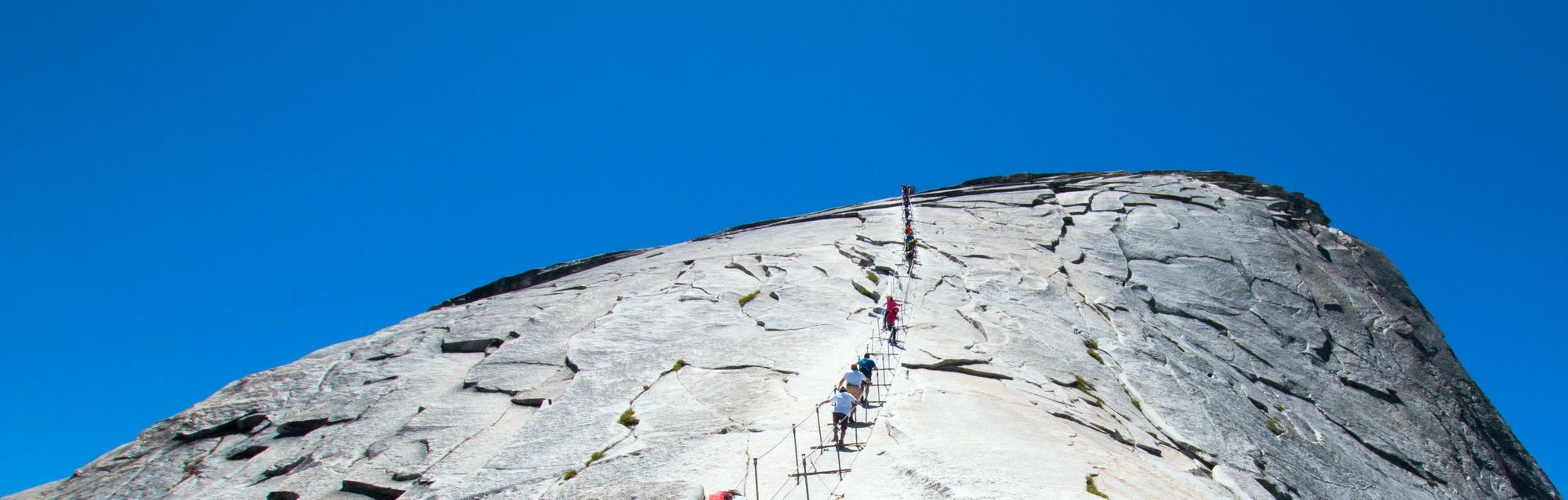
There are various routes up to the Half Dome cables, however the most popular start from Yosemite Valley. The Mist Trail (mentioned in hike #2 on this list) is the best-known route. You'll go past Vernal Fall and Nevada Fall, then continue on through the landscape to reach subdome - and the Half Dome cables.
The cable route is steep, smooth, slippery and scary. A fall can be fatal. This is a genuine mental and physical challenge, and should not be attempted after rain or in bad weather. In total it’s a climb of around 1,500m (4,921 feet), but the heights put a lot of people off. Yosemite Hikes have a guide to the cables and the NPS hub page for climbing Half Dome will help you prepare properly.
4. The Snow Creek Trail
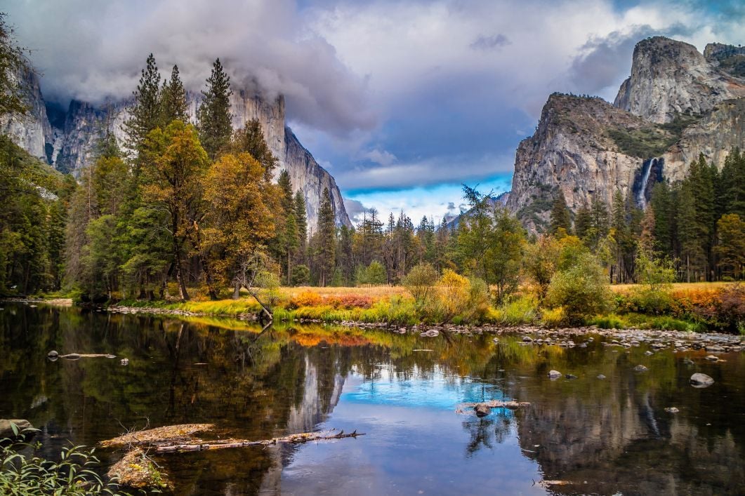
- Start/Finish: Mirror Lake Trailhead (Yosemite Valley shuttle stop #17), out-and-back
- Distance: A 9.4-mile (15km) round trip
- Walking time: 6-7 hours
- Difficulty: Challenging
- Best for: Switchback punishment, with glorious returns
This is another big climb from the valley floor of Yosemite up to big mountain views. Make no mistake about it, the Snow Creek trail demands a lot from you.
Start on the Mirror Lake Trail and you will soon come to the junction of the Snow Creek Trail. From here, ascend out of the Tenaya Canyon (uphill, very much uphill), taking switchback after switchback as you climb until you eventually reach a viewpoint including Half Dome, Quarter Domes and Clouds Rest.
What's great about this trail is that though the climbing is tough and steep, you get rewarded with views which unfold as you go. After that vista from the switchbacks, you're only going to climb higher and get even better vantage points on Yosemite.
To get the best view though, the challenge continues on a path that asks you to climb 822m (2,700ft) relatively swiftly. This is one of the toughest routes out of Yosemite Valley, but it also offers some of the best views.
There is a full guide to this trek on the NPS government Yosemite website.
5. The Yosemite Falls Trail
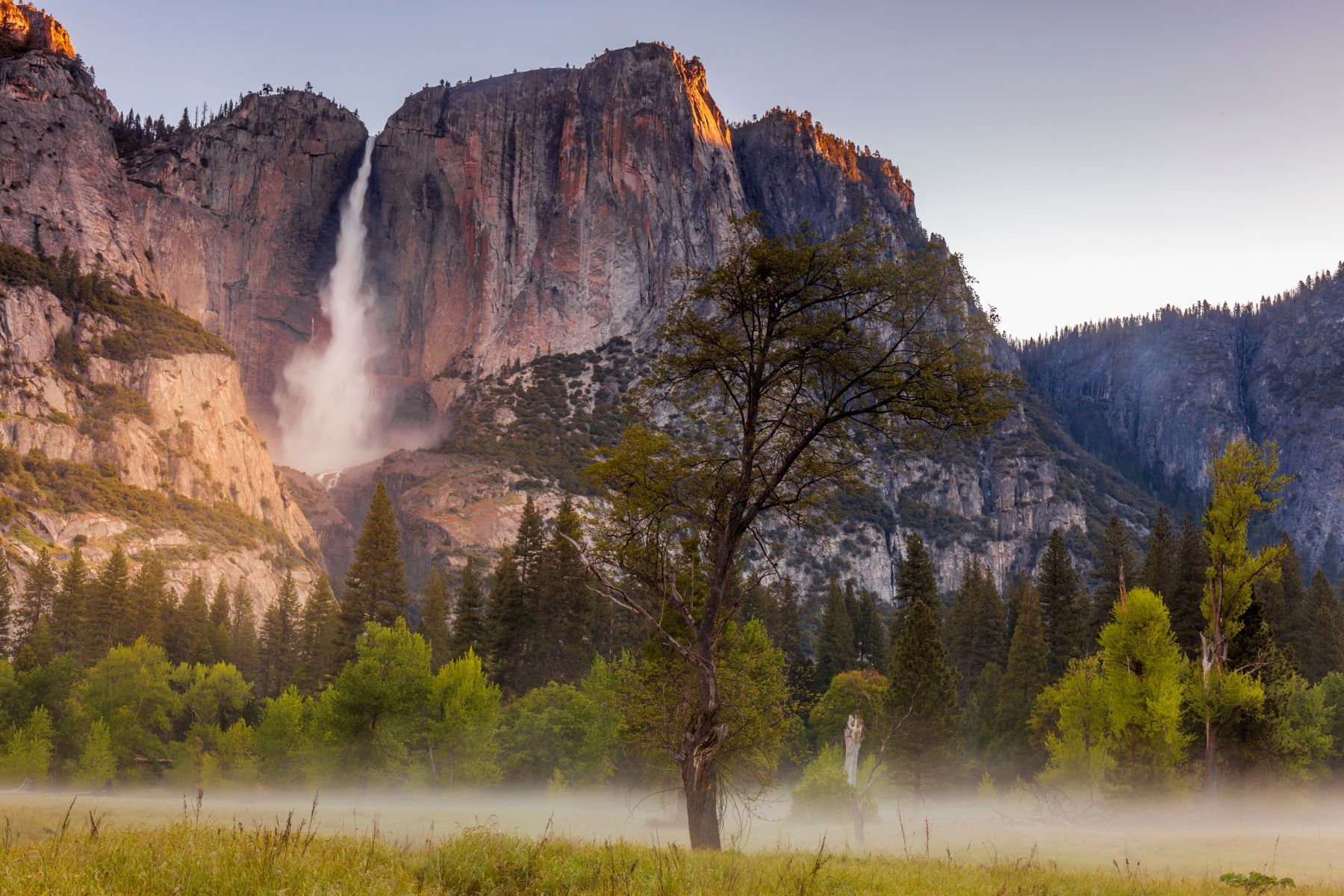
- Start/Finish: Camp 4 area (near Yosemite Valley shuttle stop #7 and El Capitan Shuttle stop #2), out-and-back
- Distance: A 7.2-mile (11.5km)
- Walking time: 6-9 hours
- Difficulty: Challenging
- Best for: Chasing waterfalls
The Yosemite Falls trail is one of the oldest in the national park, dating back to 1873. These are North America's tallest waterfalls, and the trail leads you all the way to the top. Naturally, that means a whole lot of uphill to get there.
This is actually one of the only places you can fit Yosemite Falls and Half Dome in the same photograph.
You may be sensing a theme in this list now, but this is another trail which is going to start you off on the valley floor and switchback you all the way up to a viewpoint. When you climb 304m (1,000ft) to Columbia Rock you'll get a big lookout, including Yosemite Valley, Half Dome and Sentinel Rock.
Meander on until the switchbacks resume and you'll soon head up to the top of Yosemite Falls. The staircase workout is tough. At the summit you'll find the small creek that feeds the mighty waterfall.
It's worth noting that there isn't water on these falls year round. The best months to go to see the falling water are May, June, July and occasionally fall or Spring. If you're after an easier route, consider the Lower Yosemite Falls trail.
Check out the NPS guide to this waterfall walk for more information.
6. The Four Mile Trail
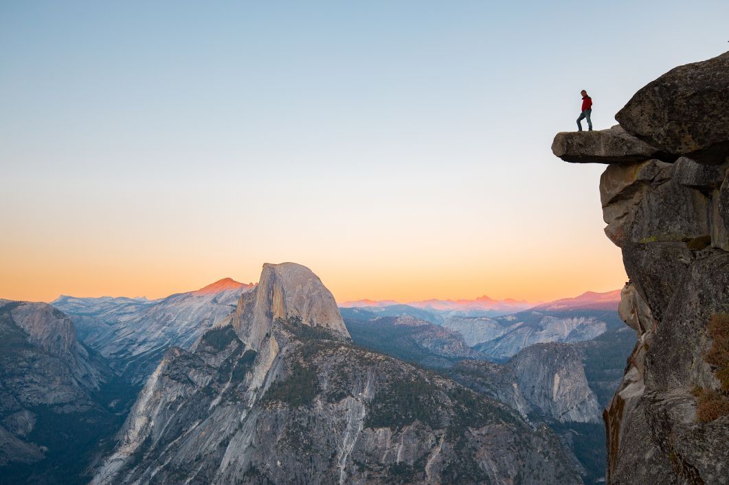
- Start/Finish: Four Mile Trailhead along Southside Drive (Valleywide Shuttle stop #11), out-and-back
- Distance: A 9.6-mile (15.5km) round trip
- Walking time: 6-8 hours
- Difficulty: Challenging
- Best for: Vertical views of Yosemite, stacked on top of one another
Ah, finally, a nice and easy four-miler, right? Nope. For a starter, the Four Mile Trail is actually more like five miles, making for an all-rounder just short of 10 miles - and it's a whole lot of climbing. That's how you get to those views!
If you're wondering how it got its name, this trail was four miles back when it was first completed in 1872. There was also a toll on it though. So it's got longer, sure, but you don't have to pay to use it. This is a strenuous walk, but you'll be rewarded with fantastic views of the valley, El Capitan, Yosemite Falls and Half Dome.
The view of the Yosemite Valley from Union Point, over the 1,828m (6,000ft) mark is well worth a stop and a gaze.
You'll finish the hike at the famous Glacier Point, where there's a snack stand in summer. You can return the same way you came, or by continuing on the Panorama Trail, which will bring you out at the Happy Isles Trailhead and turn this into a thru-hike.
Alternatively, you could also take the easy route and book a bus up to Glacier Point for those views, then hike back down to the valley. We won't tell if you don't.
7. Sentinel Dome
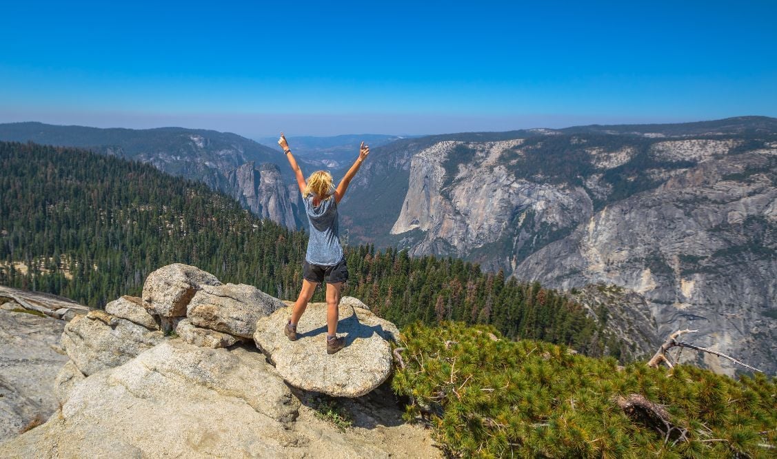
- Start/Finish: Parking Lot on Glacier Point Rd, out-and-back
- Distance: 2.2 mile (3.5km)
- Walking time: 1-2 hours
- Difficulty: Easy-ish
- Best for: Great views with little hiking effort
Measuring in at a 2.2 mile round trip, this is by far the easiest option on our list, requiring only a short but steep burst to complete. Sentinel Dome gives you jaw-dropping views of the Yosemite Valley without the same sort of arduous climbing a lot of the other routes demand.
At the summit you'll see the fallen Jeffrey Pine. Made famous after Ansel Adams captured the truly unique shape of the tree in a photo in 1940. It fell in 2003, though it had been dead for decades, but remains at the summit of the Sentinel.
You'll get to look out to El Cap, Yosemite Falls, the Valley and to the east, Half Dome and Clouds Rest. These are big views, for minimum effort.
What animals live in Yosemite National Park?
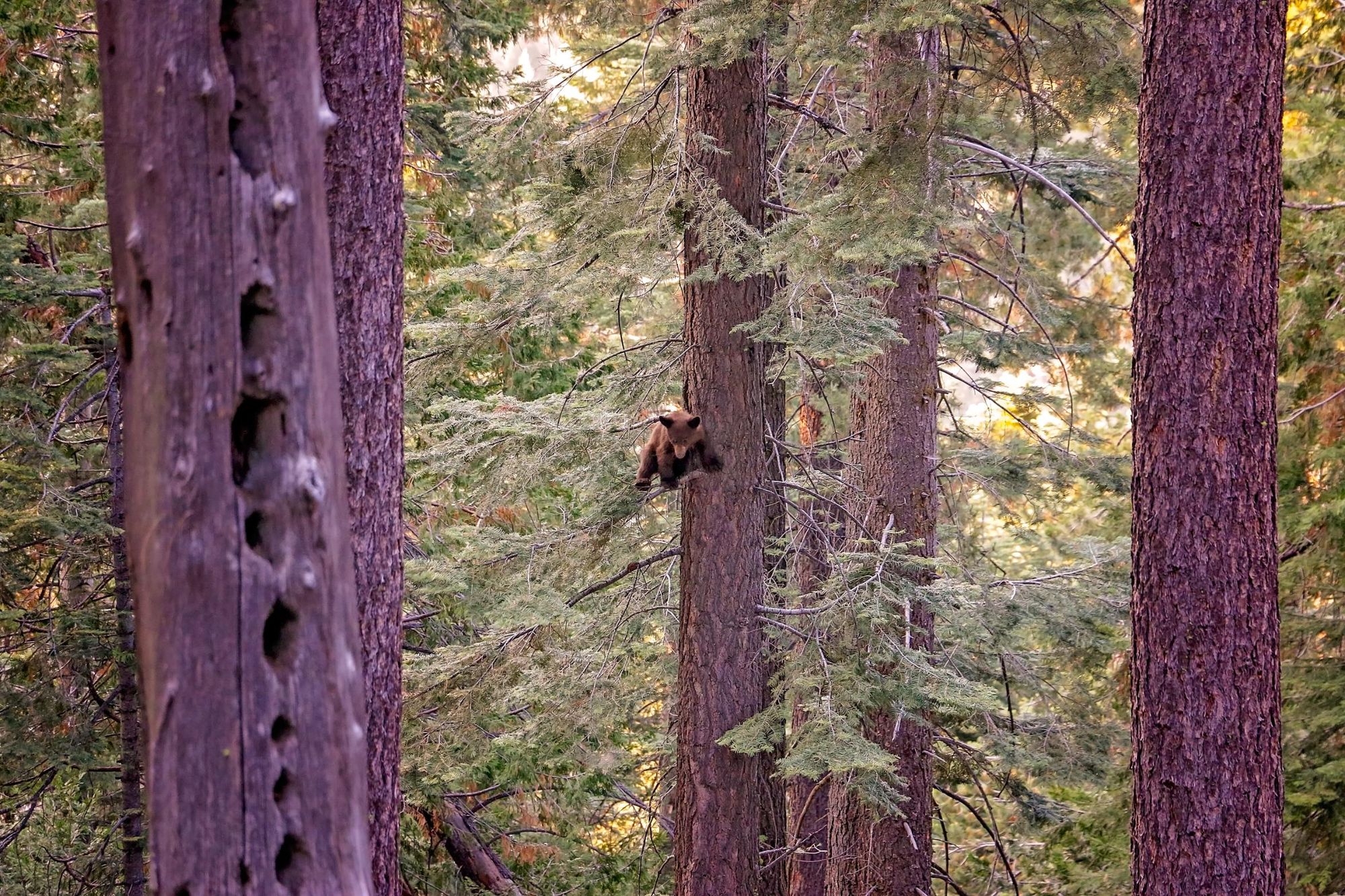
There are over 400 species of animals in Yosemite National Park, including approximately 90 species of mammals and over 260 types of bird. Perhaps the stars of the show are the black bears, which are of real interest to most visitors, though the Sierra Nevada red fox is also absolutely adorable. Lookout too for Sierra Nevada bighorn sheep, which are back in the range after an absence of 100 years, as well as mountain lions and the illusive Pacific Fisher (tree-dwelling carnivores which look a little like pine martins).
There are also fascinating amphibians; notably Californian red-legged frogs and the Sierra newt, while in the sky, you can see American dippers, brightly-coloured Western tanagers, as well as California-spotted and great gray owls.
Where to stay around Yosemite National Park?
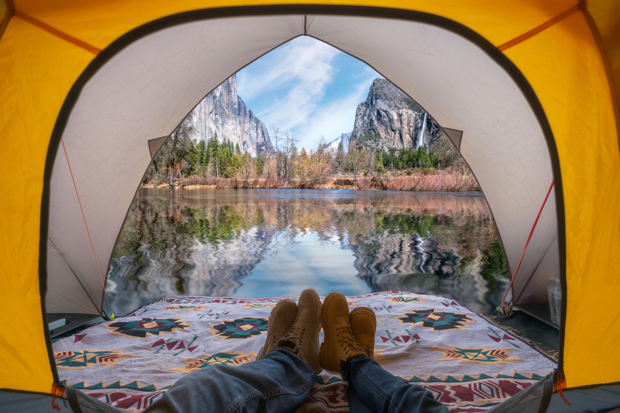
There are a full 13 campgrounds which you can stay in across Yosemite National Park, and we would very much reccomend doing so. If you're going to visit Yosemite, it's because of the natural beauty in the area, and this is the best way to immerse yourself in that - in the style of John Muir and President Roosevelt.
Every campsite in Yosemite needs reserved in advance. The most popular campsites, in Yosemite Valley, need booked five months ahead and are operated by a lottery system. Other campsites can be booked at one-week's notice. Many are on a two week reservation cycle. There are also three first-come, first-serve campsites available in late Autumn, winter and early spring.
Fees range from $10-36 per night to use the campgrounds, with most costing $36.
Wild camping is also actually legal in much of Yosemite, as long as you have a wilderness permit. The National Park Service note: "Camping is not permitted between Yosemite Valley and Little Yosemite Valley. If you would like to camp in a dispersed wilderness setting, you must camp beyond the Half Dome/John Muir Trail junction or beyond Moraine Dome (toward Merced Lake)."
Of course, there are also a whole host of fantastic lodges in Yosemite National Park. Some of the best include the Evergreen Lodge, the Majestic Yosemite Hotel, the Yosemite Bug Rustic Mountain Resort and the rustic AutoCamp Yosemite, which offers a luxury camping vibe, as well as glamping options.
What to eat in Yosemite National Park?
There are various places to eat around Yosemite National Park, from snack top ups like the Village Store to pizzerias and fine-dining experiences. The latter is at The Ahwahnee, an extremely luxiours grand banquet hall also known for hosting Sunday brunch buffets. More down to earth options include spots like the Village Grill, Meadow Grill, The Loft at Degnan's and Base Camp Eatery food court.
We'd recommend bringing a lot of snacks in too, as hiking food. You can do a lot worse than bringing in some sandwiches and eating them at a scenic picnic bench.
How to Get to Yosemite National Park?
By train: Sadly there is no current rail service which reaches Yosmite National Park. The rail provider, Amtrak, does run joint rail and bus services though. So, for example, you can get a San Francisco to Oakland bus, a short Oakland to Merced train, and then a bus to Yosemite in around seven hours.
By plane: The closest airport to Yosemite is the Fresno Yosemite International Airport (FAT), which is 64 miles (102km) from the park. The largest airports near Yosemite are San Francisco International (SFO), Oakland International (OAK), San Jose International (SJC) or Sacramento International (SMF). Each of these airports is around a three-four hour-drive to Yosemite.
By bus: Cities throughout California, and in parts of the rest of the US, offer bus options to reach Yosemite. For example, from San Francisco, you could get a Greyhound to Merced, then transfer to a regional bus to get you to the park. The YARTS bus is one of the best regional services for getting to Yosemite.
Read more:
- The Best Day Hikes in Yellowstone National Park
- A Guide to Denali National Park in Alaska
- Hike the Great National Parks of the Western USA
Inspired? Check out our range of adventure holidays across North America, including multi-day hiking trips in Yosemite National Park.