The Canadian Rockies are one of the world’s great landscapes, home to the startling glacial blue waters of Lake Louise and to sharp, powerful mountain peaks punctuated by glistening glaciers. Beneath summits, scree slopes slide to fir and spruce forests sprawl and wildflower meadows add a touch of colour.
Wildlife roams here, from the marmots and moose dotted around the hiking trails to the bears rooting around the trees, which require the respect of hikers.
The Canadian Rocky Mountains are home to world famous national parks. Banff National Park is the oldest and Jasper National Park - connected to Lake Louise by the stunning Icefields Parkway - is the largest. But Yoho and Glacier National Parks are equally remarkable. So, where should you go hiking first?
Hiking in the Canadian Rockies | Much Better Adventures
A North American classic. Join a small group adventure hiking amongst the great Canadian outdoors, tackling some of the best wilderness trails in the Rocky Mountains.
Here, we’ve picked out 10 hiking trails, spread around the Canadian Rockies. Some of the walks are popular classics and some are lesser known.
It’s important to note that these route descriptions are only short summaries, designed to inspire but not to serve any navigational purpose. They are not intended to guide you on the route and further mapping and planning (or a local guide!) will be required if you want to safely walk any of the trails featured.
Many of these routes are serious treks and big full-day or multi-day commitments. Bad weather can make even safe, waymarked routes dangerous. Do your preperation, look into more detailed guides - and be safe out on the trails.
Bare with us: Bear safety in the Canadian Rockies
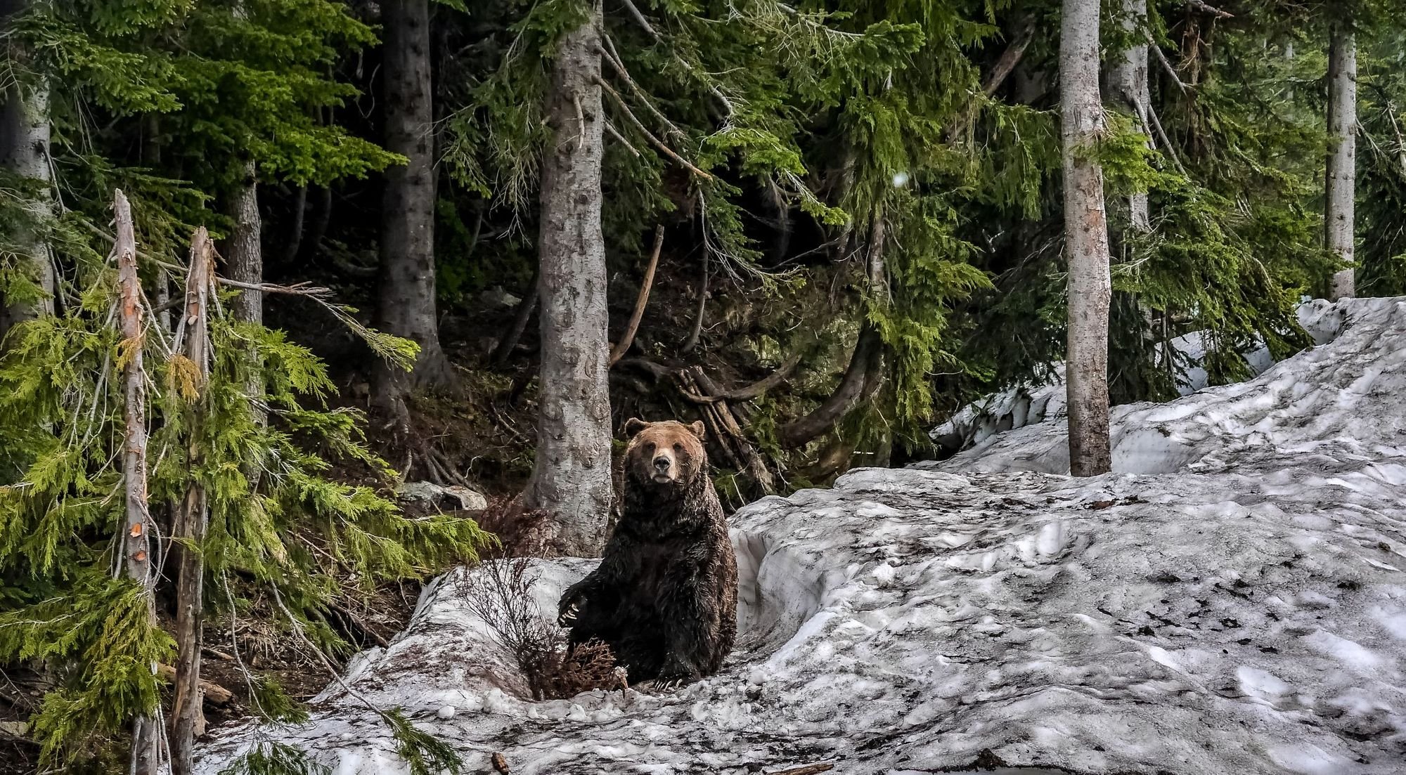 Both grizzly (pictured) and black bears are commonly spotted around hiking trails in the Canadian Rockies. Photo: Getty
The Canadian Rockies are bear country. That means that on many of the hikes included in this list, there is a decent chance that you may spot a grizzly or a black bear. The official website of the Government of Canada has an excellent guide to travelling safely in bear country, which we would strongly advise reading in full before embarking on any of these hikes. Some of these trails require you to be in a group of four or six while hiking, for safety reasons, and some can even close from time to time due to bear activity, so check for updates before you travel.
Otherwise, familiarise yourself with bear best practices in the official guide, which include making noise, walking in groups and carrying bear spray.
Hiking in Canada’s Rocky Mountains | Much Better Adventures
Join a small group trip to hike amazing trails in Banff, Jasper, Revelstoke and Glacier National Parks, bedding down in cosy mountain hotels along the way.
10 of the Best Hikes in the Canadian Rockies
Here, we've aimed to highlight some of the best hikes in the Canadian Rockies, showcasing different parts of the territory and - barring a couple of classics like the Skyline Trail below - we've aimed for trails which are also a little lesser known.
Further research and careful planning will be needed to actually hike any of these routes. The Parks Canada website is an excellent resource for more information, and check for latest weather, warnings and trail closures before setting off.
1. The Skyline Trail
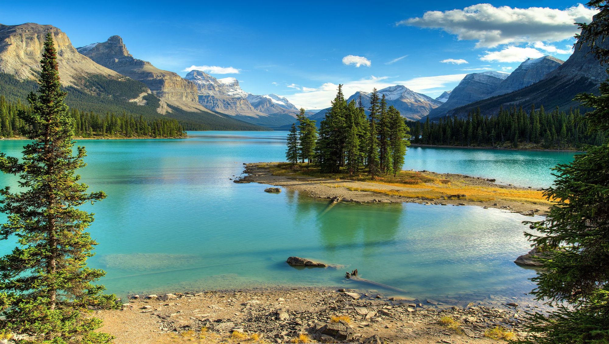 Maligne Lake in Jasper national park, Alberta, Canada. The Skyline Trail starts at Maligne Trailhead, to the south. Photo: Getty
- Distance: 27 miles (44km)
- Location: Jasper National Park
- Time to hike: 2-3 days
- Best for: Big ridgelines with big views.
The Skyline Trail is a legendary backpacking trail in Jasper National Park, more than half of which (around 25km) takes place above the treeline. That means rugged mountain views, windy trails and far-reaching, picturesque panoramas.
The route starts at Maligne Lake and ascends through forest to the Little Shovel Campsite. You’ll then come to Little Shovel Pass, the first (and lowest) of three notable mountain passes on the route. You’ll already be at 2,200m (7,217ft) here and walking through a sparse mountain landscape most likely coated in snow.
After Snowbowl Campsite, you’ll trek up to Big Shovel Pass, where you can see marmots. Then you get your first view of The Notch, a high pass, near the scenic Curator Lake. Things get steep up to the Notch, which holds snow into the summer, and marks the halfway and high point - at 2,510m (8,234ft).
The beautiful Tekarra Campsite is another 5.6 miles (9km) from here - along a scenic, exposed ridgeline. The route finishes by ascending and then descending Signal Mountain. This is a special, but demanding, multi-day trek.
2. The Sentinel Pass Hike
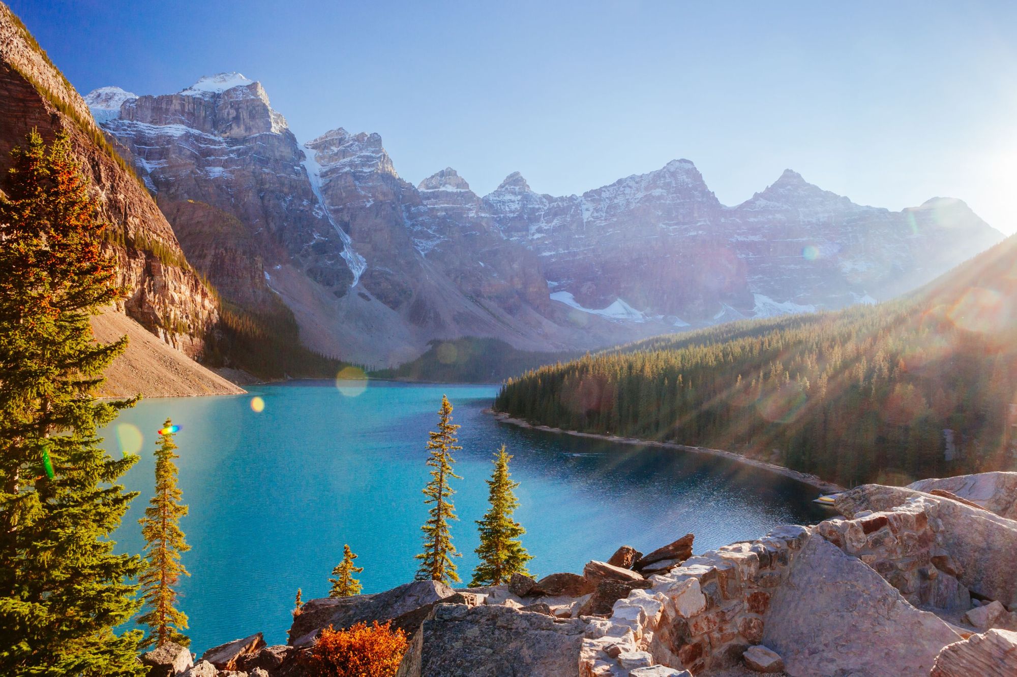 Moraine Lake is a glacially-fed lake in Banff National Park, 14 km outside of Lake Louise, in the Valley of the Ten Peaks. Photo: Getty
- Distance: 7 miles (11.5km), out-and-back
- Location: Banff National Park
- Time to hike: 4-6 hours
- Best for: Views of the Ten Peaks and Lake Moraine.
There are few lakes in the world better known than Lake Louise and Lake Moraine, both of which are located within 6.2 miles (10km) of one another in Banff National Park. The Sentinel Pass Hike is one of the best ways to explore the former - and to earn a classic view of the postcard-perfect peaks above Moraine.
This route starts from the northwest shores of Moraine Lake and climbs to Larch Valley, through densely-packed larch trees. Eventually the views open up, and there's great views across a meadow, and beyond the larches, to Ten Peaks. The final prize is yet to come. You’ll soon get a stony stare down Paradise Valley, another of Banff’s world-renowned landscapes. From here, it's back the same way.
This is a top, tough out-and-back, tying together the glacial blue of the lakes with the greens and yellows of the meadows and rugged greys of the mountains.
3. The Fairview Mountain Trail
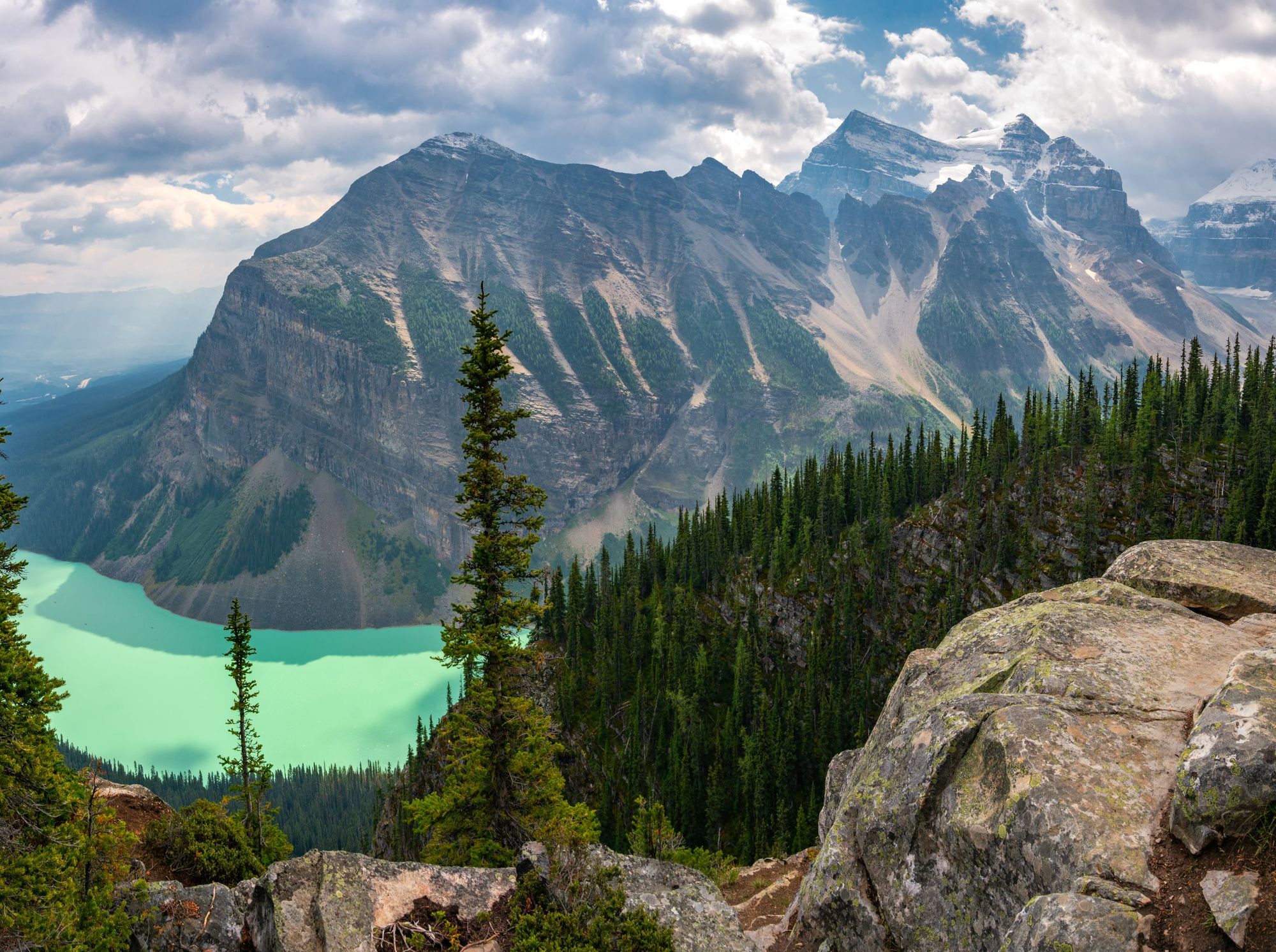 This image is from the top of Big Beehive, rather than the Fairview Mountain Trail, but it shows both Fairview and Lake Louise. Photo: Getty
- Distance: 6.7 miles (10.6km), out-and-back
- Location: Banff National Park
- Time to hike: 4-6 hours
- Best for: A tough day out above Lake Louise, with some scrambling.
The out-and-back route from Lake Louise up to the 2,744m (9,002ft) Mount Fairview will see you climb over 1,000m (3,280ft.
Fairview is a huge, spiky bulk of a mountain, and from Lake Louise, it looks all but unclimbable without ropes and chalk. But while you’re definitely going to need a high level of fitness, the trail to the top isn’t actually overly technical.
You’ll ascend steeply through forest before emerging out to Saddleback, and the surrounding larches. Fairview await above, and you may get snow here even in summer. The most challenging part of this climb is the final ascent to Fairview, which can verge on scrambling, but your reward is an outstanding view in every direction from the top, over the Bow Valley, to the spear of Haddo Peak and down to Lake Louise. The return is back the way you came.
Be wary of the snow at higher-altitudes, particularly from September onwards.
Hiking in the Canadian Rockies | Much Better Adventures
A North American classic. Join a small group adventure hiking amongst the great Canadian outdoors, tackling some of the best wilderness trails in the Rocky Mountains.
4. The Bald Hills Trail
 Clouds gathering above the Canadian Rockies. Maligne Lake in Jasper, viewed from Bald Hills trail. Photo: Getty
- Distance: 8.6 miles (14km), out-and-back
- Location: Jasper National Park
- Time to hike: 4-6 hours
- Best for: Views of Maligne Lake.
Not everyone has the time (or is lucky enough to get the reservations) to walk the Skyline Trail. This trek in the Bald Hills, which also starts by Maligne Lake, offers a great way to see the beauty of Jasper National Park in one day.
The route to the top is mostly a forest fire road and can, at times, be a bit of a drag, but at the top the views of the glacial-blue Lake Maligne are magnificent.
Your first sight of Maligne from the top of the mountain comes on a beautiful trail weaving between lines of green trees, with the typical light grey spikes of the Rockies behind. You can go directly to the summit of Bald Hill from here, or take a longer loop around the ridgeline to maximise viewing time.
From the top of Bald Hill, the views of Maligne, with Leah Peak, Samson Peak, and Maligne Mountain behind, are stunning - particularly when the sun is shining.
5. The Hamilton Lake Trail
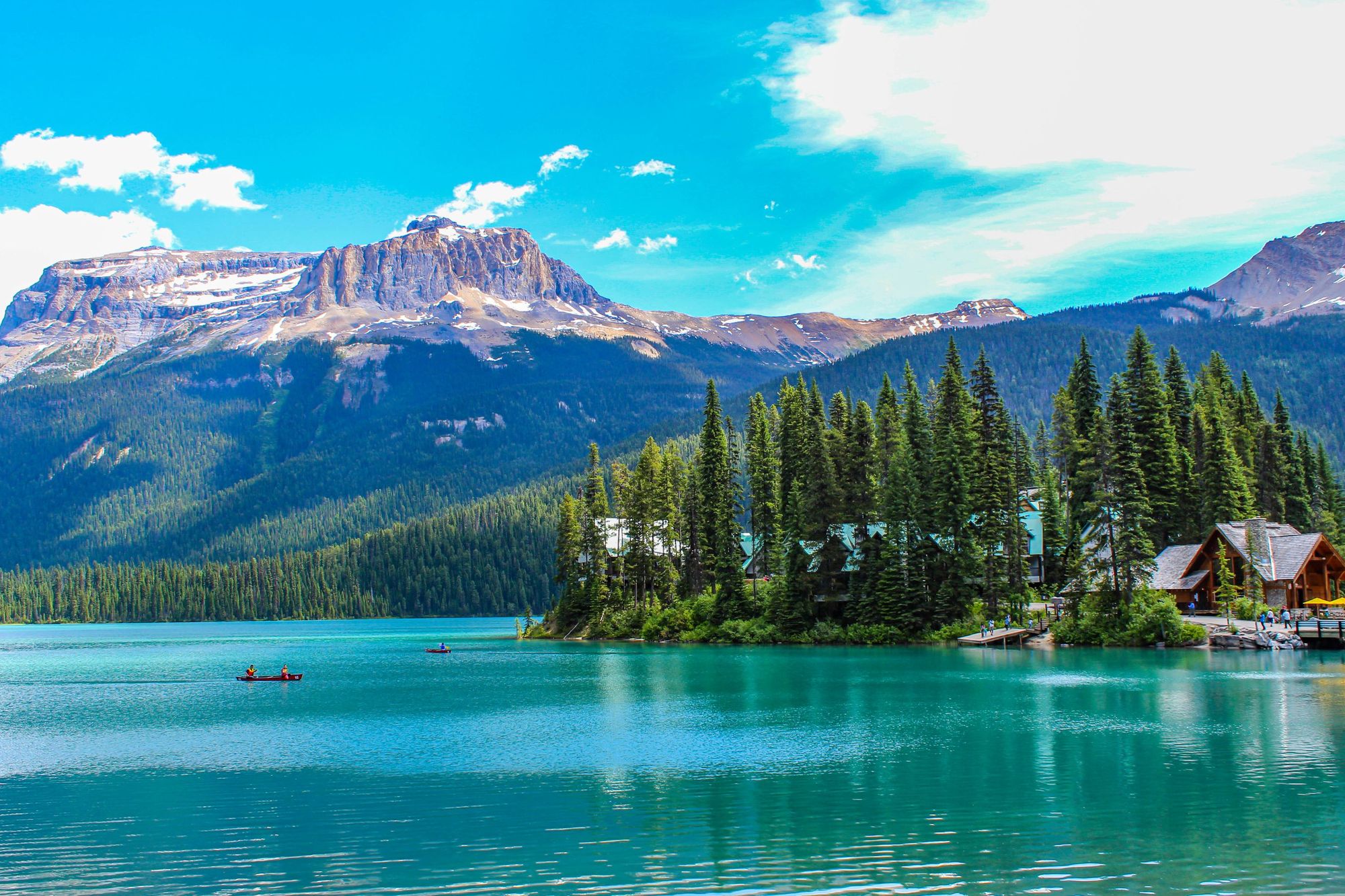 Lake Emerald, the south of which provides the starting point for the hike to Hamilton Lake. Photo: Getty
- Distance: 7.3 miles (11.9km), out-and-back
- Location: Yoho National Park
- Time to hike: 5-6 hours
- Best for: A secret challenge.
The route to Hamilton Lake is tough, steep and unrelenting - so thankfully it's beautiful when you get there. You hike up from 1,300m (4,265ft) to 2,150m (7,053ft) on a path that will have your legs pumping, to reach a serene lake in a hanging valley. And the difficulty of the trail means the route is often quiet.
Starting at the southern end of the postcard-perfect Emerald Lake, you’ll head through the forest to Hamilton Falls. This is as far as most visitors get. Beyond lies the trail to Hamilton Lake, which switchbacks from the canyon to spruce and fir forests and up the mountain. Your highlight views will include great vistas back to Emerald Lake, as well as far-reaching views out to the Kicking Horse Valley and the highest peak in Yoho, Mount Goodsir.
When you're finally done switchback-ing, the final stretch to Hamilton Lake is more gentle. The lake is backdropped by Mount Carnarvon, with scree slopes leading down to the water and Emerald Peak, at 2,566m (8,418ft), just above. This is a steep, remote hike and caution is needed around the scree and cliffs.
6. The Balu Pass Trail
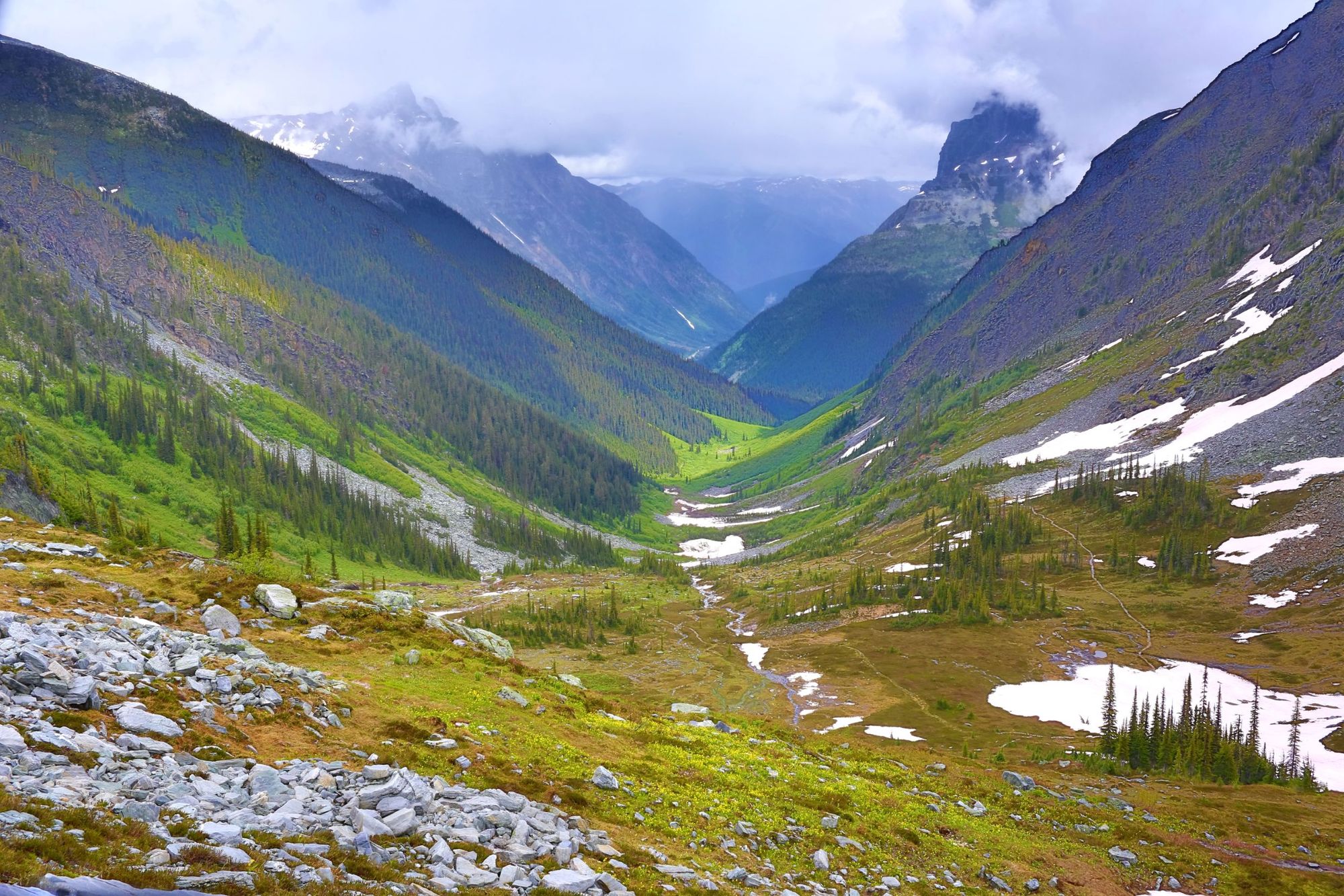 A damp day on the Balu Pass Trail in Glacier National Park. Photo: Getty
- Distance: 8 miles (12.8km), out-and-back
- Location: Glacier National Park
- Time to hike: 4-5 hours
- Best for: A beautiful walk through prime bear habitat.
This lesser-known out-and-back route from the Rogers Pass Center sees you ascend around 800m (2,624ft) along Connaught Creek. You’ll be climbing through forests to reach lush alpine meadows and rugged, big mountain panoramas.
This is another trail which flies under the radar, so you can expect to have the trail to yourself for large periods. There's views of the Cheops and Grizzly Mountain, as well as over to Cougar and Bagheera mountains and across the Bonney Range.
The word ‘balu’ actually means ‘bear’ (Jungle Book anyone?) and grizzly bears are commonly sighted in this area, so be informed and prepared, and travel in groups, in case of a encounter. Check at the ranger station before heading out on the trail, as it’s sometimes closed due to bear activity.
7. Assiniboine Lodge to Nub Peak
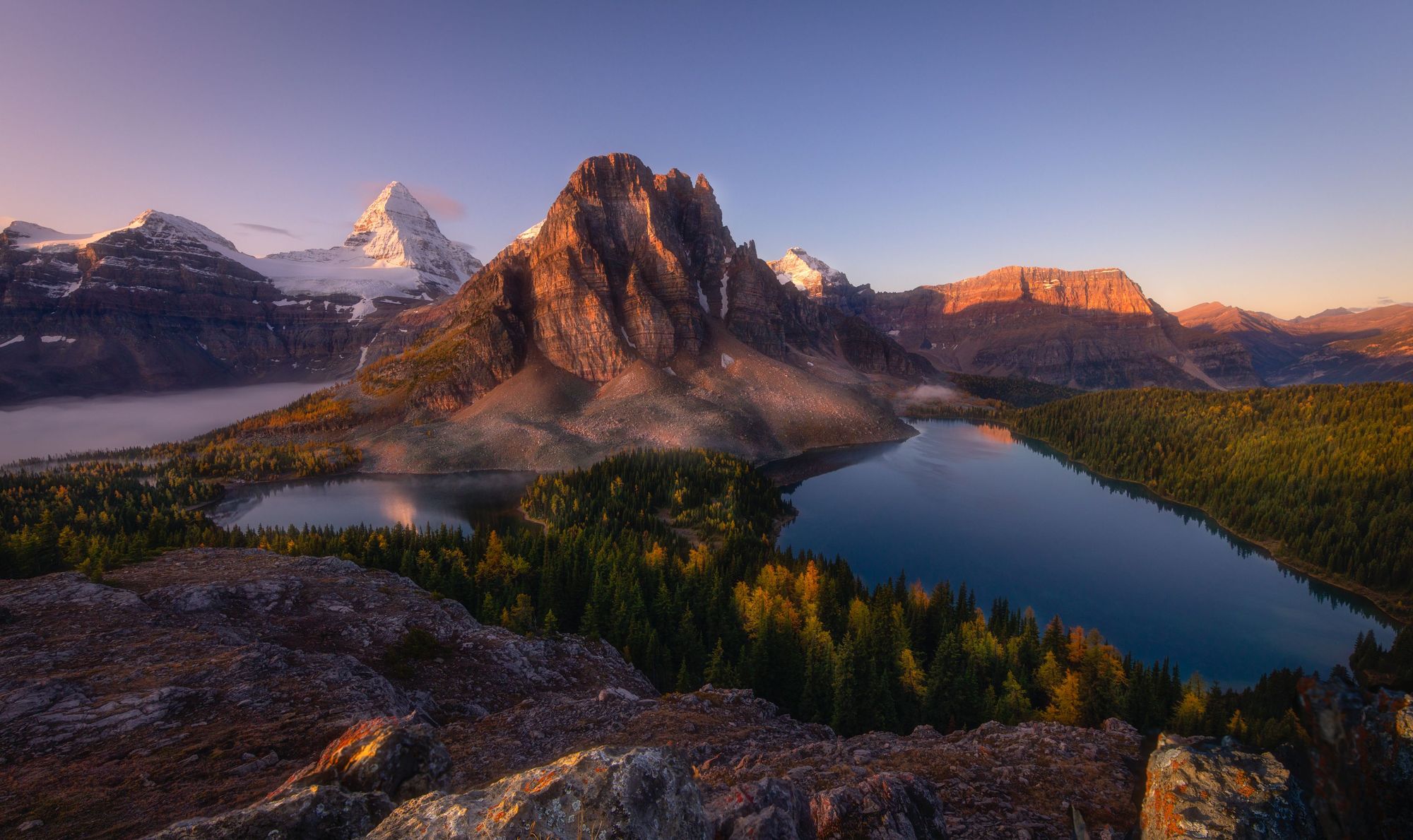 The landscape of Mount Assiniboine, the queen of Canadian Rockies, British Columbia, Canada, viewed from Nub peak. Photo: Getty
- Distance: 6 miles (9.5km), out-and-back
- Location: Mount Assiniboine Provincial Park
- Time to hike: 3-5 hours.
- Best for: Incredible views of Assiniboine.
Mount Assiniboine (3,618m/11,870ft) is the highest peak in the Southern Continental Ranges of the Canadian Rockies, and is often compared to the Matterhorn in Switzerland, due to its distinctive ridgeline and towering beauty.
From that summit, you’ll be looking out at one of the great panoramas in the Canadian Rockies.
The actual ascent of Assiniboine is an extremely demanding mountaineering route that should not be undertaken by the inexperienced - but you can take in the beauty of the famous peak on this route, which starts from the popular Assiniboine Lodge (which itself is reachable only by a substantial hike or short helicopter trip).
This trail takes you to the summit of Nub Peak at 2,746m (9,009ft) via a scenic ridge. From that summit, you’ll be looking out at one of the great panoramas in the Canadian Rockies, where the glimmering, forest-lined lakes of Cerulean, Sunburst and Magog are all visible, and surrounded on every side by craggy mountains with huge elevation. Then it's back the same way. This is a tricky day out. Be careful.
8. Wilcox Pass Trail
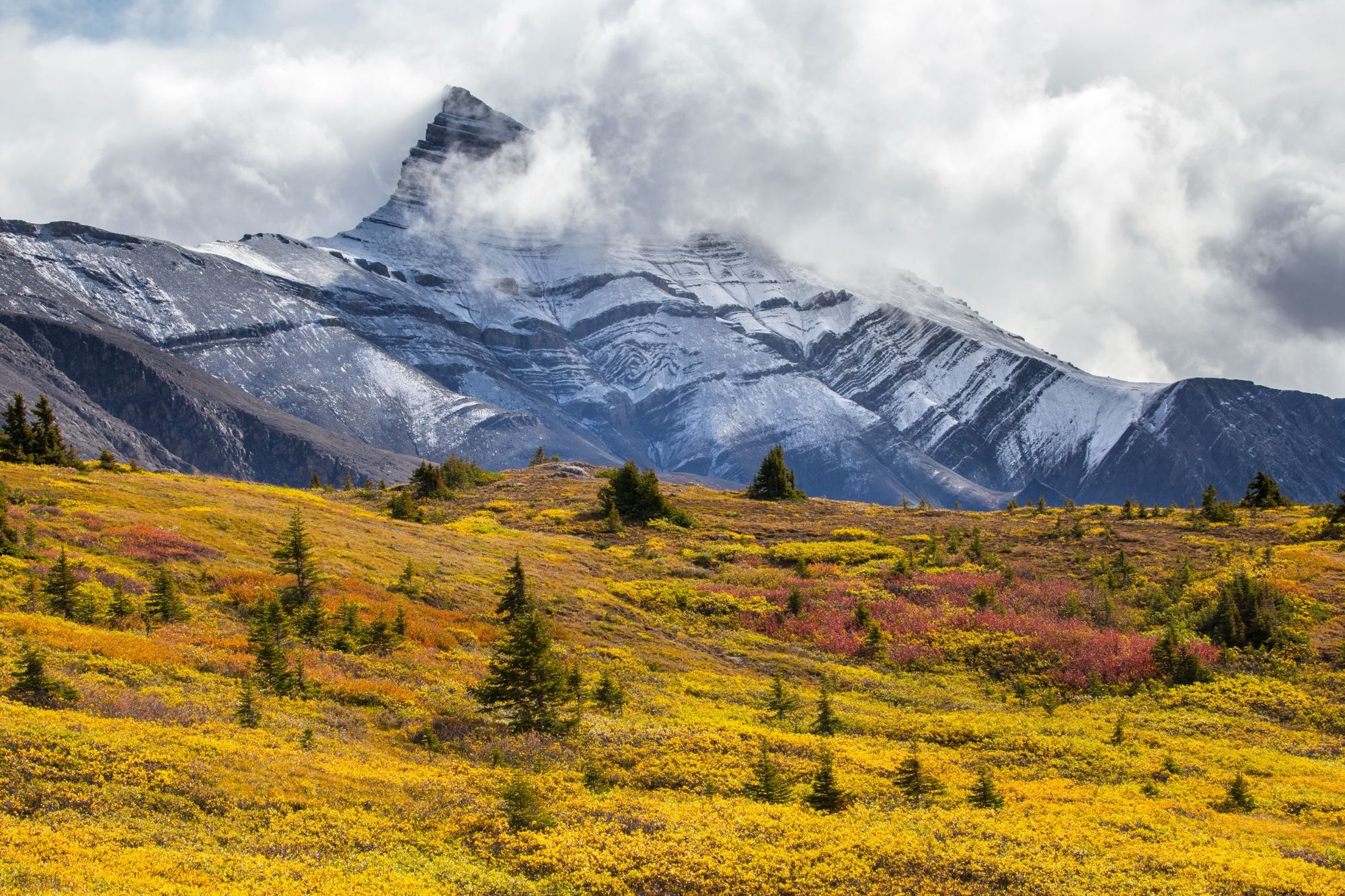 The Autumn tundra on the Wilcox Pass Trail in the Canadian Rockies. Photo: Getty
- Distance: 7.3 miles (11.7km), out-and-back
- Location: Jasper National Park
- Time to hike: 3-4 hours
- Best for: A little bit of everything.
On your way to Wilcox Pass, you’ll drive along the Icefields Parkway, an 144-mile (232km) stretch of double-lane highway linking Lake Louise with Jasper, Alberta, and surely one of the most beautiful roads in the world. Stop to look out over the picturesque Peyto Lake, backdropped by Caldron Peak and Mount Patterson, and visit the Athabasca Glacier, part of the Columbia Icefield.
Hiking in Canada’s Rocky Mountains | Much Better Adventures
Join a small group trip to hike amazing trails in Banff, Jasper, Revelstoke and Glacier National Parks, bedding down in cosy mountain hotels along the way.
A Wilcox Pass trek offers further views of the icefield, on a beautiful trail winding through a wide, glacial valley sculpted over millions of years. You’ll climb through spruce and fir forests, walk wildflower meadows and have far-reaching views of rugged grey mountains. This is a Rockies highlights reel.
Make a day out of the drive and hike and it'll be one you'll remember.
9. The Cory Pass and Edith Pass Loop
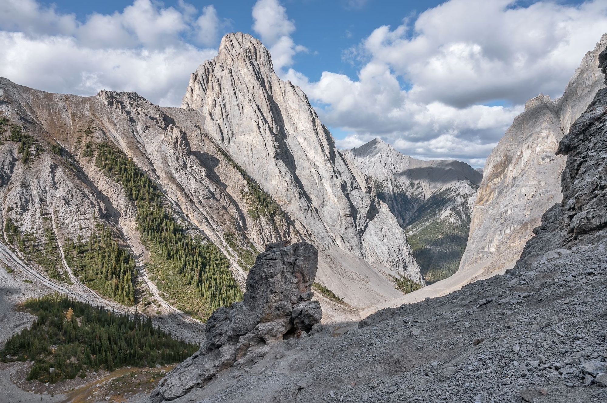 Cory Pass with Mount Louis in Gargoyle Valley in Banff National Park, Alberta, Canada. Photo: Getty
- Distance: 9 miles (14.5km), loop
- Location: Banff National Park
- Time to hike: 5-8 hours
- Best for: Varied terrain, near Banff.
This is a challenging but popular day hike which, as the tourism board points out, "covers all the terrain the Canadian Rockies are famous for".
Starting at the Corry Pass trailhead, near Banff, the first half of the route spikes steeply upwards, with a gain of around 1,100m (3,608ft) over the first seven or eight kilometres. Once you're up, you'll find yourself in the alpine zone. Ahead, there's a traverse of Gargoyle Valley, a route around Mound Edith and - once you're done breathing in the views - a stroll through forest as you loop back around, barely touching the same section of trail twice.
There's some scree and scrambly terrain to navigate along the way. It can be exposed, but it's equally as dramatic. Go prepared, and enjoy the views.
10. Kindersley Pass and Sinclair Creek Loop
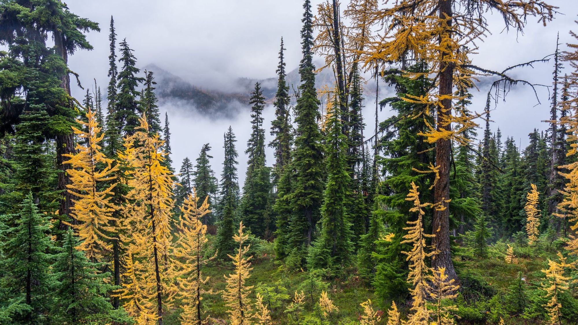 The types of spruce and fir forest you will climb through on your way to Kindersley Pass. Photo: Getty
- Distance: 11.9 mile (19.2km)
- Location: Kootenay National Park
- Time to hike: 6-9 hours hours
Best for: A full day of hiking in Kootenay.
This challenging route through Kootenay National Park is a classic for good reason. It’s not actually a “loop” though. Starting and finishing at either of Kindersley Pass parking lot or Sinclair Creek, there’s 1.2km of road to complete the loop (which it can be best to do via a car shuttle, as it's a busy highway).
There’s over 1,300m (4,265ft) of elevation on this route, which kicks off with forest and meadows (if hiked starting at Kindersley Pass). Above the treeline, the vegetation ceases and the rocky peaks pierce the sky.
The high point of the trek is the Kindersley-Sinclair Col at 2,395m (7,857ft). It's the best viewpoint on the route - with far-off ranges in full sight, divided by deep valleys. You’ll head down through wildflower meadows and forest. Check the park bulletins for updates before heading out. This is known bear country, and there’s a minimum group size of four in place for walking this route because of grizzlies.
When to visit the Canadian Rockies
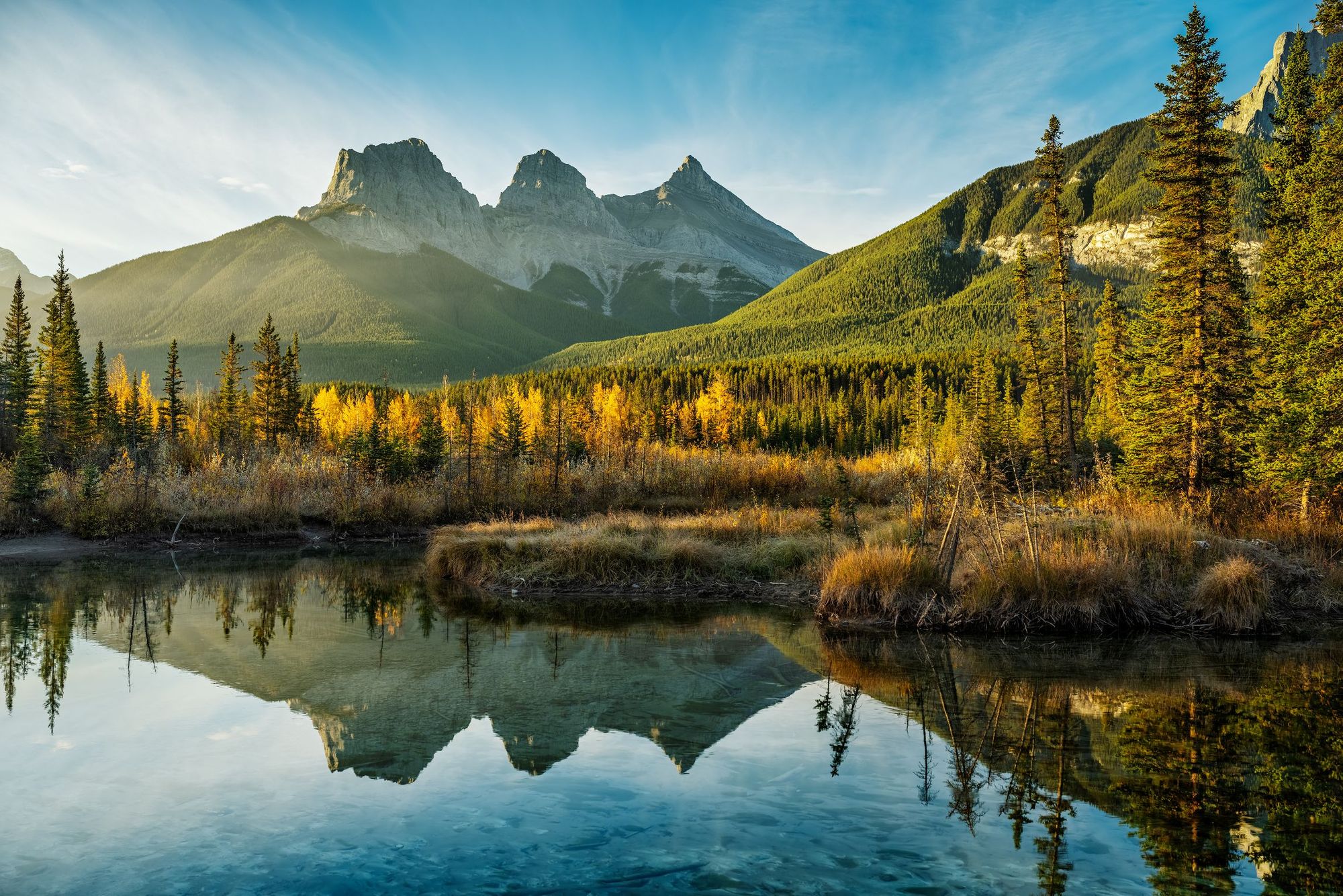 Sunrise over the Three Sisters, reflecting in Policeman Creek, Canmore, Alberta. Photo: Getty
Hiking season in the Canadian Rockies isn’t long, lasting roughly from May to early October - it depends on snowfall, and how much comes down. Prime hiking season is from June-August but the Autumn months are truly spectacular.
Reservation Systems
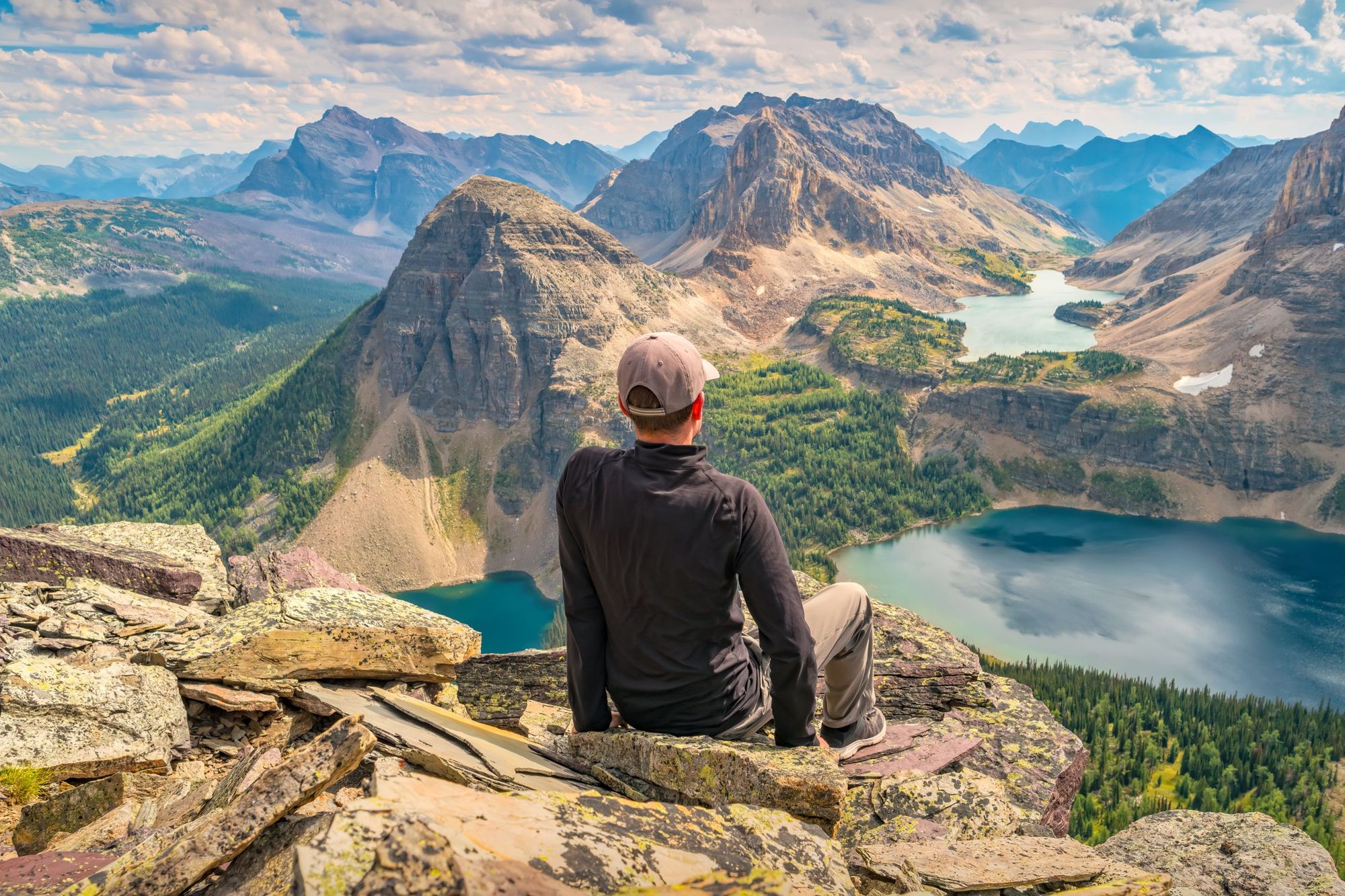 A hiker enjoys view from Pharaoh Peaks, Egypt Lake in Banff National Park in the Canadian Rockies. Photo: Getty
Permits and reservations are needed to hike in certain spots in the Canadian Rockies. They're aimed at controlling numbers on the hiking trails and in the camps - and keeping these wild places beautiful.
For popular multi-day trails, the reservation spots available for each campsite disappear fast. Elsewhere, you may need a backcountry permit to visit a specific location, or - as is the case with the popular Lake O’Hara hike - there may be shuttle bus which runs to the location, the spots on which are extremely limited. To get a reservation for any of the above, find out when bookings open, have your laptop ready - and your lucky charms. It’s a bit like trying to get Beyonce tickets.
If all of this makes your headache, ask a local guide. They're the experts.
FAQs
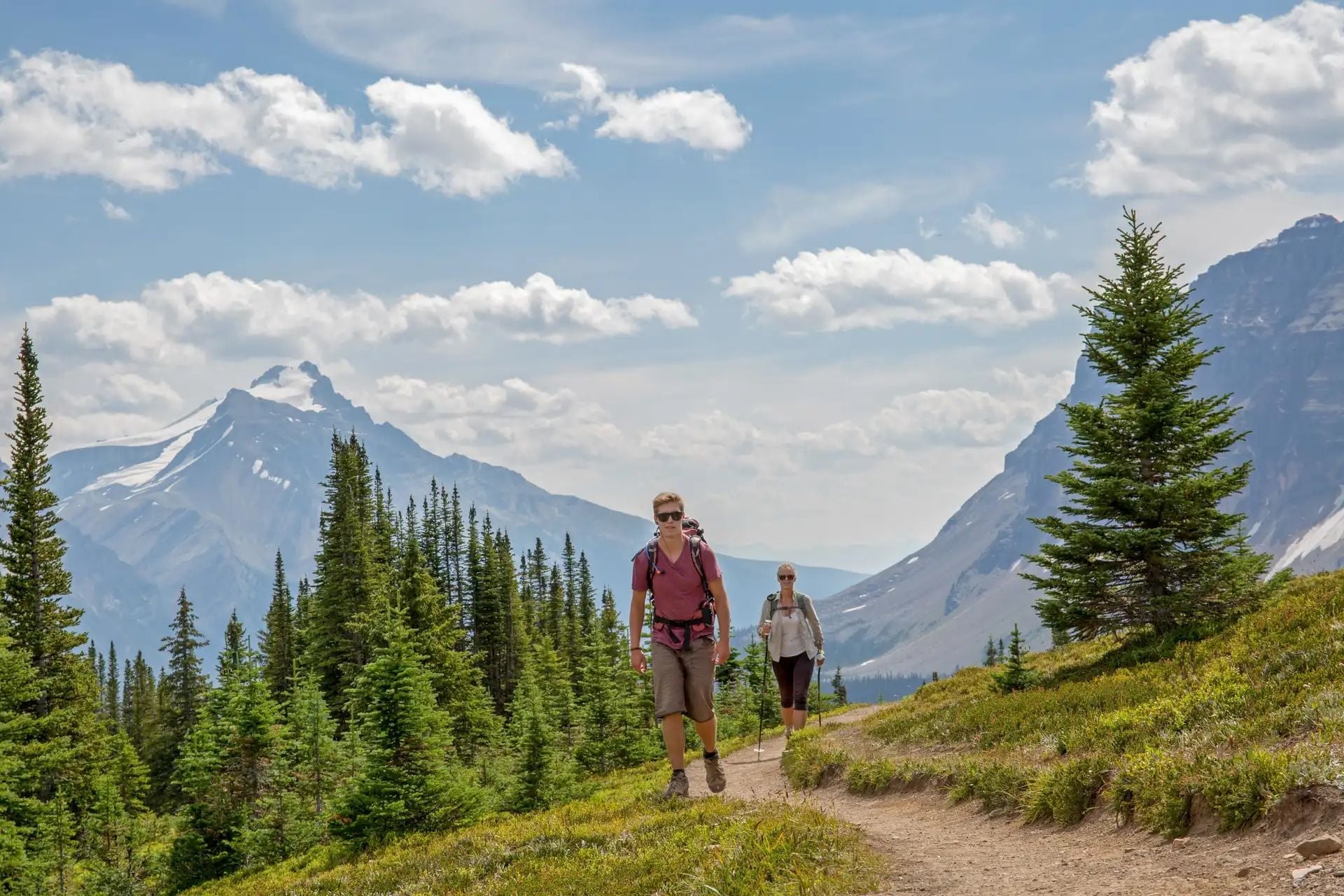 Hikers in Banff National Park. Photo: Getty.
What are the best hikes in the Canadian Rockies?
The best hikes in the Canadian Rockies include the Skyline Trail in Jasper National Park, the Sentinel Pass Hike and Fairview Mountain Trail (both in Banff National Park). These routes offer dramatic alpine views, turquoise lakes, and access to glaciers and ridgelines.
What is the weather like in July and August in the Canadian Rockies?
July and August in the Canadian Rockies bring warm days, cool nights, and mostly stable weather. Daytime highs range from 18°C to 23°C (64°F to 73°F), with clear skies common, making it peak hiking season. Afternoon thunderstorms are possible in alpine areas.
Hiking in the Canadian Rockies | Much Better Adventures
A North American classic. Join a small group adventure hiking amongst the great Canadian outdoors, tackling some of the best wilderness trails in the Rocky Mountains.
Banff vs Jasper: which park has better hiking?
Both parks feature world-class alpine hiking. Banff offers more accessible day hikes and iconic viewpoints, while Jasper has fewer crowds and longer, wilder trails. For solitude and backcountry, Jasper excels; for variety and convenience, Banff leads.
How to plan a hut-to-hut hike in the Canadian Rockies?
Do I need a permit to hike in the Canadian Rockies?
Yes, you need a Parks Canada Discover Pass to hike in the Canadian Rockies. Backcountry hikers also require permits for overnight trips, especially in Banff, Jasper, and Yoho. Always check the Parks Canada website for any specific permits or reservation requirements needed for the trails or backcountry camping areas you intend to use. Make sure to book any permits in advance.
Inspired? Walk several of these routes in our Hiking in the Canadian Rockies trip, which is led by an expert local guide!
Stay safe out there: Our guides are well-researched, short summaries, designed to
inspire but not for navigational purposes. While we strive for accuracy, we cannot guarantee
completeness. Outdoor activities come with serious risk, and individuals must take full personal
responsibility for their own safety. Much Better Adventures, and the authors, disclaim any
liability arising directly or indirectly from the use of the information from this article.