


The best hikes in Ireland showcase all that the country has to offer. That means a whole lot of far-reaching coastal views and rugged, mountainous landscapes - neither of which are in short supply on the Emerald Isle. County Kerry is perhaps best known as being the adventure playground of Ireland - home to the MacGillycuddy’s Reeks, the highest mountain range in the country - but really, you’ll find beautiful walking routes all over the island.
Of course, the best hikes in Ireland are always going to be subjective, but what we’ve looked to do in this list is cover a variety of counties and give you an idea of what to expect around the country. Some of these are extremely challenging treks, and even on short hikes, the weather can turn quickly, so be prepared with appropriate gear and the knowledge of how to safely navigate even if things get cloudy and you can't see. Respect the mountains and leave no trace.

The mountains of Ireland are serious terrain, and should be treated as such. Experience and route-finding (or better yet, a good local guide) is required. In bad weather, or with snow on the ground, a lot of these hikes are not possible.
It’s important to note that these route descriptions are only short summaries, designed to inspire but not to serve any navigational purpose. They are not intended to guide you on the route and further mapping and planning (or a local guide!) will be required if you want to safely walk any of the trails featured.
Now, without further ado, here are just some of the very best hikes in Ireland.
1. Climb Carrauntoohil, Co. Kerry
- Length: 6.8 miles (11km)
- Starting Point: Cronin's Yard
County Kerry is the adventure home of Ireland and the Reeks District is a wonder; home to surfing, cycling and jagged peaks. Carrauntoohil is the highest mountain in Ireland, and can be found in the MacGillycuddy's Reeks.
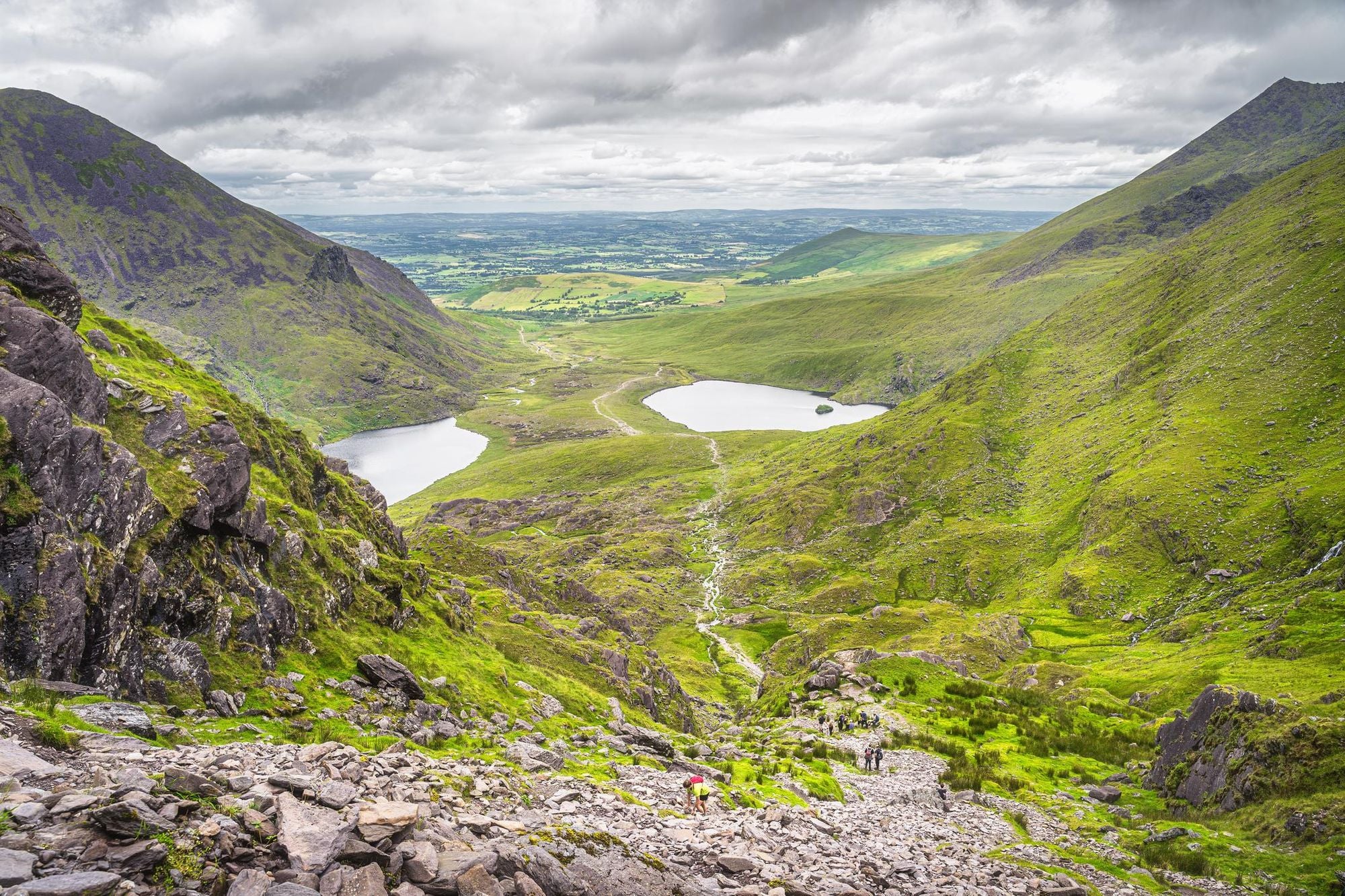
The traditional route up Carrauntoohil includes an ascent of the “Devil’s Ladder”. You'll walk up Hag's Glen, on a scenic trail between mountain lakes, with Carrauntoohil dominating the view up ahead. The ladder itself is a steep gully filled with rocks. There's a bit of hands-on navigating to be done, and it can take a while to get up to the exposed ridge at the top. From the top of Carrauntoohil you can see 10 of the 12 highest mountains in Ireland and the wild Atlantic Coast.
Being so high, and right next to the coast, the weather is highly variable on Carrauntoohil and despite the fact this is only a nine-miler, it’s a route not to be underestimated. There is some daunting, challenging scrambling on the trail.
If you're an experienced hiker, happy staying safe on exposed ridgelines, you may want to look out at the The Coomloughra Horseshoe route. It takes in the three highest mountains in Ireland on a route often described as the best - and the most intimidating - ridge hike in Ireland. Kerry Climbing are the people to go-to for mountain guiding in this area. Don't underestimate this mountain.
2. Cliffs of Moher Cliff Walk, Co. Clare
- Length: 8 miles (12.8km), one-way
- Starting Point: Doolin
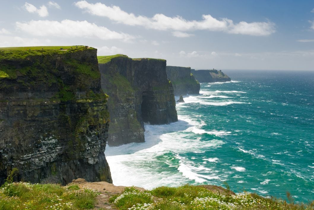
The Cliffs of Moher might be the most famous cliffs in Ireland, but while a whole lot of people come to visit each year, a significantly smaller percentage actually venture beyond the visitor centre and tackle the full Cliffs of Moher Cliff Walk.
Running from Doolin to Hags Head, near the town of Liscannor, this is one of the most beautiful stretches of the long-distance Wild Atlantic Way route that runs down the west of Ireland. There’s a reason the views are so famous. The route is relatively straightforward and not as physically demanding as a lot of the other trails on this list. As you’re right on the coast for the duration though, the weather can turn quickly, and rain or heavy winds can make the walk feel a bit intense and dangerous - especially if you’re standing at the edge of a 214m cliff. Stay safe!
Look out for Moher Tower on Hags Head and O’Brien’s Tower. There’s a hop-on, hop-off Cliffs of Moher shuttle service which runs from designated car parks, making this walk easy to do in parts (or abandon if the wind gets too much!). The whole thing should take four to five hours.
Please note: Parts of this route are currently shut (as of 1 August 2026), "for due to severe safety concerns." See the official website for the latest information.
3. The Glencoaghan Horseshoe Walk (The Twelve Bens of Connemara), Co. Galway
- Length: 11 miles (17.7km)
- Starting Point: Ben Lettery Youth Hostel
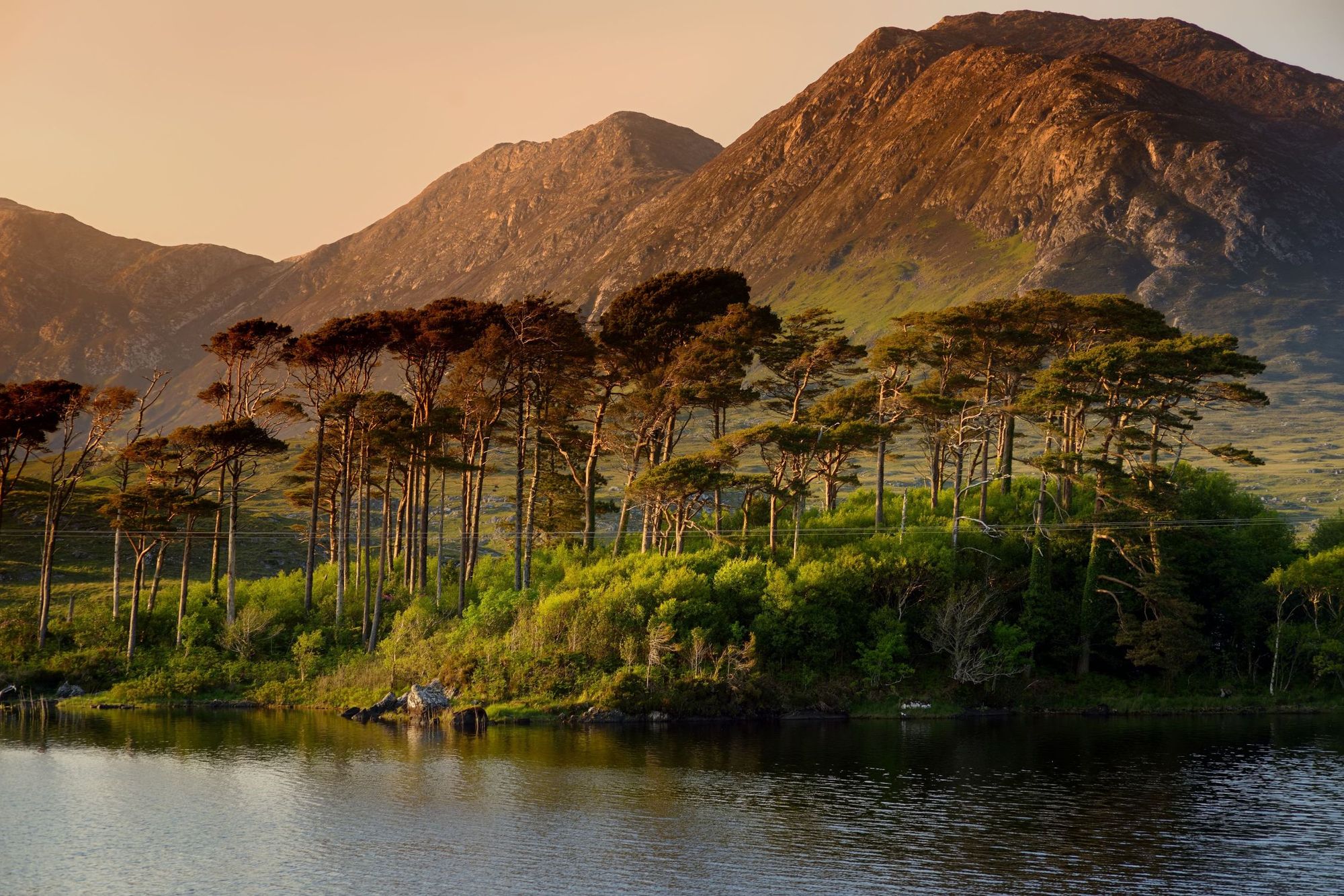
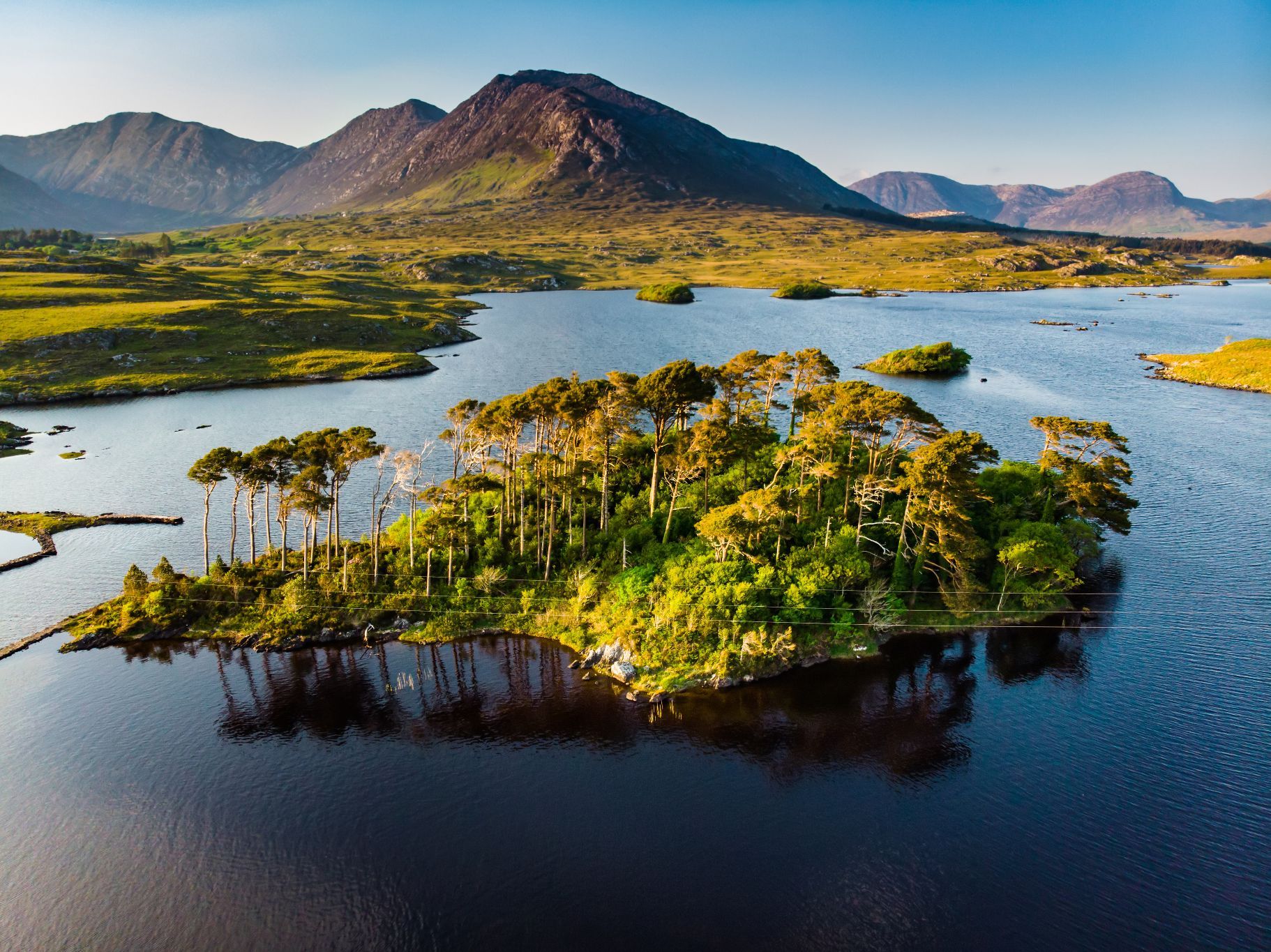
On the Glencoaghan Horseshoe you’ll find yourself summiting six of the 12 Bens of Connemara (a rugged mountain range in Galway) - namely the peaks of Derryclare, Bencorr, Bencollaghduff, Benbreen, Bengower and Benlettery, which range in height from 577m (1,893ft) to 711m (2,332ft).
Ireland loves a horseshoe, and this is surely one of the toughest. It's beautiful but extremely challenging. The route-finding is difficult, with no clear trail for much of it, and the terrain is rough, technical, scramble-y and dangerous, with loose rocks, vertigo-inducing moments and wild moorland to navigate.
The ascent is steep but the views from the first peak of the day, Derryclare, over several of the mountains you'll climb, is really beautiful. It doesn’t let up from there. The peaks are rugged, rocky and close together, which makes for a really dramatic day out in the mountains. The ridgeline is mostly bare rock (with patches of heather and grass in lower moments), and requires much care.
Anti-clockwise is the favoured route here to help you on the multitude of scree covered slopes. This means your final summit will be Benlettery - and again, the descent will be challenging, with little in the way of a trail or navigational help.
Don't be fooled by pre-existing assumptions of Ireland - this is a hard day out. Put together you’ll rack up about 1,500m (4,921ft) of ascent. If the clouds roll in, navigating can be extremely tricky, so (as is the case for all the routes on this list), stay alert to the weather and don't go unless confident in your route-finding skills and ability on challenging high-level rocks and scrambles.
Don't expect to be able to pick up a trail easily on this horseshoe, or to have signs to follow. This is a full, demanding day in the outdoors. Treat it as such.
4. Glengarriff to Adrigole, Co. Cork
- Length: 11 miles (17.7km)
- Starting Point: Glengarriff
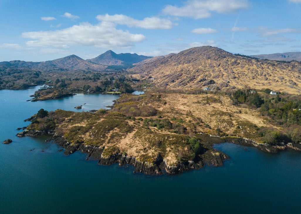
The Beara Way is a long-distance hiking route in Counties Cork and Kerry - a 136-mile (220km) trail taking you around the Beara peninsula. The full route is best done over nine days, or possibly even a little longer. It'll take you through mountains on the coast and you'll find plenty of historical stops throughout too.
We’re focusing on the best day hikes in Ireland here, so we’ve picked out one section of the Beara Way trail to try. The stretch of the trail from Glengarriff to Adrigole is usually done first, but it’s one of the most beautiful and challenging stretches on the entire trail.
What's great about it is that you get a real sample of the different elements of the route. You'll go into the Glengarriff Woods Nature Reserve, look out on Bantry Bay, walk through the Coomerkane Valley, with rugged cliff, mountain and sea views. You'll climb to 500m (1,640ft) north of Sugarloaf Mountain, in a remote mountain pass where caution is needed. All in 4-5 hours of walking.
5. The Cushnabinnia Horseshoe (Galtymore), Co. Limerick / Co. Tipperary
- Length: 8 miles (13km)
- Starting Point: Lough Curra Car park.
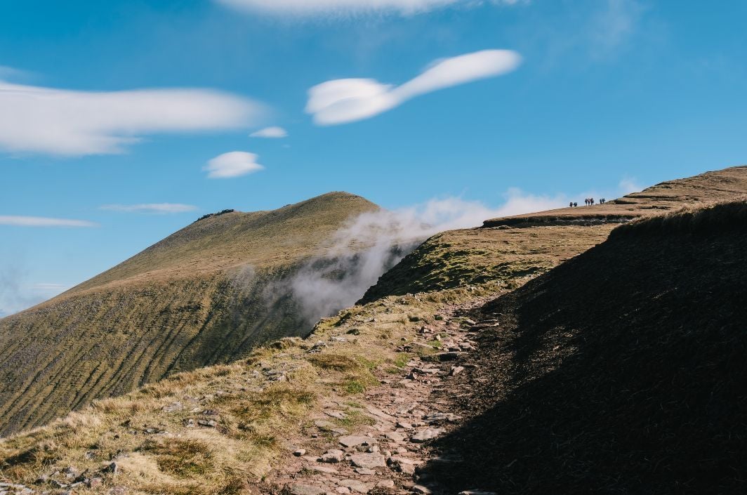
Sitting on the border of Limerick and Tipperary you’ll find Galtymore, another of Ireland’s 912m+ (3,000ft) peaks, and the biggest inland mountain in the country. Combine Galtymore with Cush and Galtybeg and you've got the Cushnabinnia Horseshoe - an incredibly scenic, if challenging day in the mountains.
This route is a challenging eight mile (13km) circular which your legs will tell you is more. You'll first hike up the steep peak of 'Cush', where you get great views of the rest of the route. After crossing to Galtybeg, Galtymore at 918m (3,011ft) awaits. It's a steep walk, and the cols on either side can be boggy, but from the top you can see out over Tipperary and Limerick.
Perhaps the best views on this route, though, come next - looking down on Lough Curra, a high mountain lake. After enjoying the views, it's down to Slieve Cushnabinnia and back to the start. This is a full day's walking - a tough, rewarding day out. As with the other walks and mountain outings here, proper navigational preparation and gear is required.
Be sure-footed and confident you can route-find in poor conditions. There are dangerous cliffs in this area. If you can't see well, extra caution must be taken.
Check out our full range of adventure holidays in Ireland now!