


Edinburgh is a brilliant city for hiking. It’s a city where ocean meets history meets rolling hills and ocean. Within a half hour’s walk from the city centre you can be at the base of Arthur’s Seat, an extinct volcano, and 15 minutes walk from the main shopping street will get you to the top of Calton Hill, which offers equally stunning views of the historic Old Town.
Go to either Calton Hill or Arthur’s Seat and you'll have a great view of the Pentland Hills - called the "Hills of Hame" by the author Robert Louis Stevenson. Running from the southwest of Edinburgh towards Bigger and upper Clydesdale, the Pentlands are 20 miles in length and have a whole lot of walking trails. The hills provide the backdrop for beautiful reservoirs, and there are an array of public buses in the city that will drop you right off at the foot of the hills. The most adventurous hikes in Edinburgh are in the Pentland Hills.
> Check out our full guide to the best hiking in Scotland
Below, we’ve picked out four walks in the Pentlands - and one ambitious route taking in the main hills of Edinburgh - that will give you a proper day in the outdoors. Don't underestimate these walks. You'll need proper hiking equipment, food and drink, and to confident navigating (the maps embedded below are approximate). Crucially, check the weather conditions before you go out. The Scottish weather can be quite adverse, as you may have heard. And if there’s snow, these walks are a no-go. Ensure you pick a hike appropriate for your fitness level.
None of the below are easy walks. There are simpler, shorter routes on the excellent WalkHighlands website.
It’s important to note that these route descriptions are only short summaries, designed to inspire but not to serve any navigational purpose. They are not intended to guide you on the route and further mapping and planning will be required if you want to safely walk any of the trails featured.
1. Bonaly Circular via Harlaw and Reservoirs
- Length: 13.9 miles (22km)
- Total Ascent: 411m (1,350ft)
- Approximate time for hike: 6.5 hours +
- Getting there: Number 10 Lothian Bus (to Bonaly) from city centre takes 30-45 minutes. Same on return. Less frequent services on weekends.
This is a big, challenging route that will take you the best part of the day - but the starting point is easily accessed from the city centre. Jump on a number 10 bus (to Bonaly rather than Torphin) to avoid climbing a road known locally as “puke hill”, and you’ll find yourself at the entrance to the Pentland Hills, after a five minute walk over a bridge above a motorway. You’ll see a road on your left, leading to a Scout camp, and a road on your right, where there will be some cars parked.
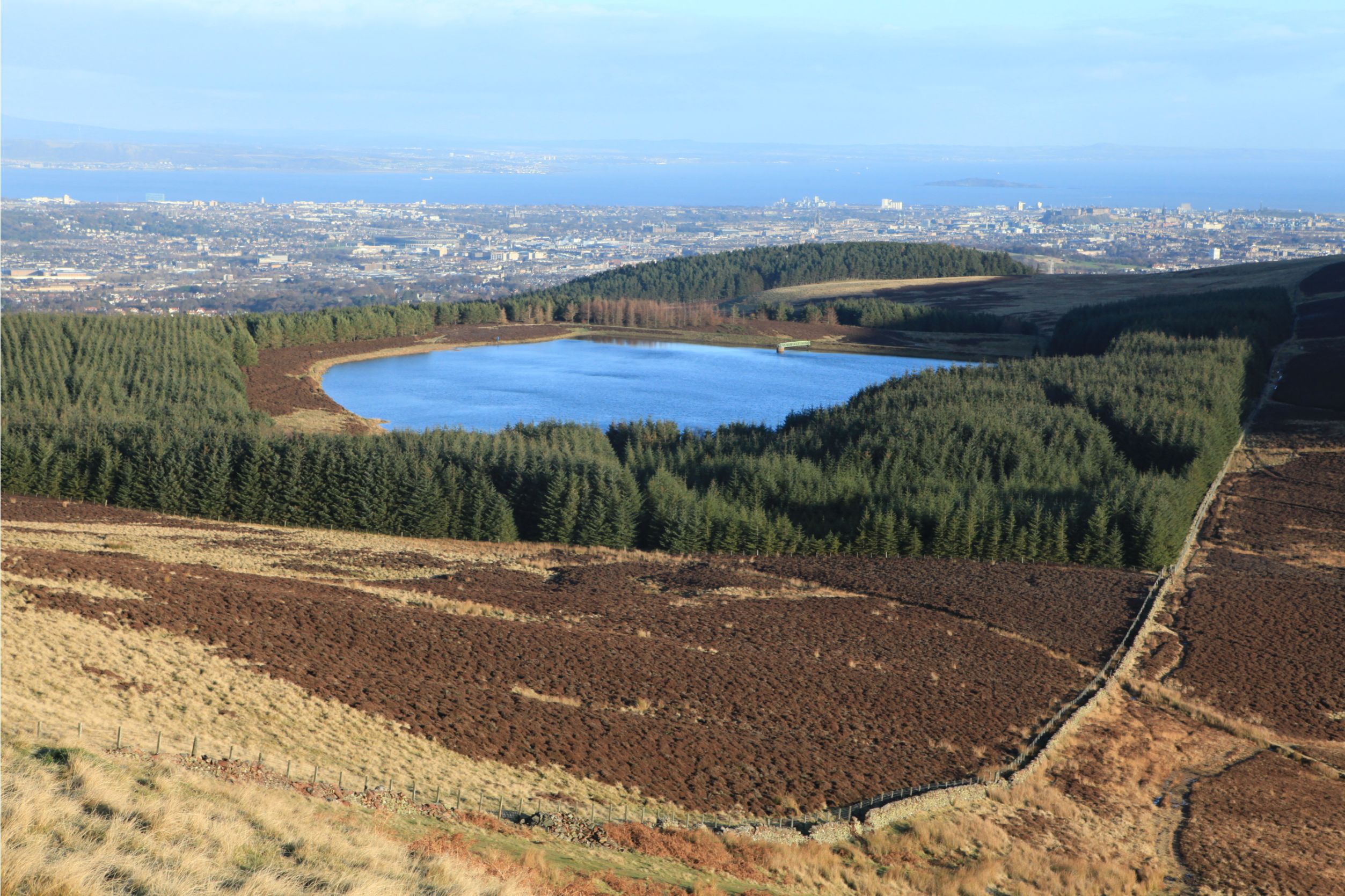
Take the road on the right and follow it. You’ll climb to the first reservoir of the day - Torduff - on a tarmac road. Follow the road up to Clubbiedean Reservoir, where you can follow a gravel path, or take a slight detour through a gate and along the reservoir to the forest on the far side. It’s a nice little trail and brings you back to the gravel path when the reservoir ends. Follow that path, and you’ll get to some farmhouses, where you join a road taking you to the popular Harlaw Reservoir (which has a large car park). Be wary of traffic here, as this road can be busy.
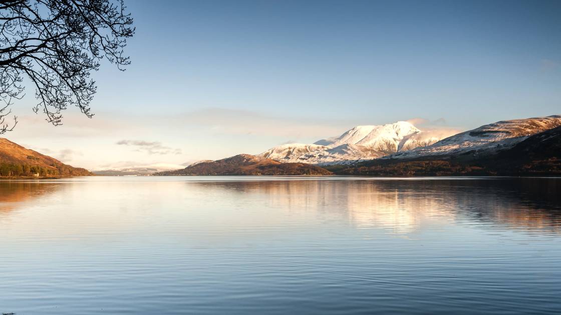
Follow the trail past Harlaw, a delightful reservoir, backdropped by high hills, and past Threipmuir Reservoir, with great views of Black Hill. Cross a bridge and go up a very steep, tree-lined road. Follow this round and you’ll get back off gravel or tarmac paths and onto proper hiking trails. From here, follow the trail through Green Cleugh (watch out for deer!) and climb the Black Hill Path – a sharp, steep climb. It's a lovely route back down to the other end of Threipmuir Reservoir.
We should note, it’s worth keeping an eye open for mountain bikers during all of this. Follow the route back round, along the opposite side of Harlaw you arrived to, and then ascend on a new path to a high crossroad gate, from where you’ll see great views of Glencorse Reservoir. Turn left to hike the steep Harbour Hill, then follow it down, past Bonaly Reservoir, and descend back to Bonaly with city views.
2. Hillend to Bonaly via Caerketton, Allermuir and Capelaw
- Length: 5 miles (8km)
- Total Ascent: 350m (1,150ft)
- Approximate time for hike: 3 hours +
Getting there: Number 4 Lothian Bus (to Hillend) from the city centre. From end point of Bonaly, number 10 Lothian Bus (to Western Harbour) takes you back to city centre, 30-60 minutes each way. Less frequent services on weekends.
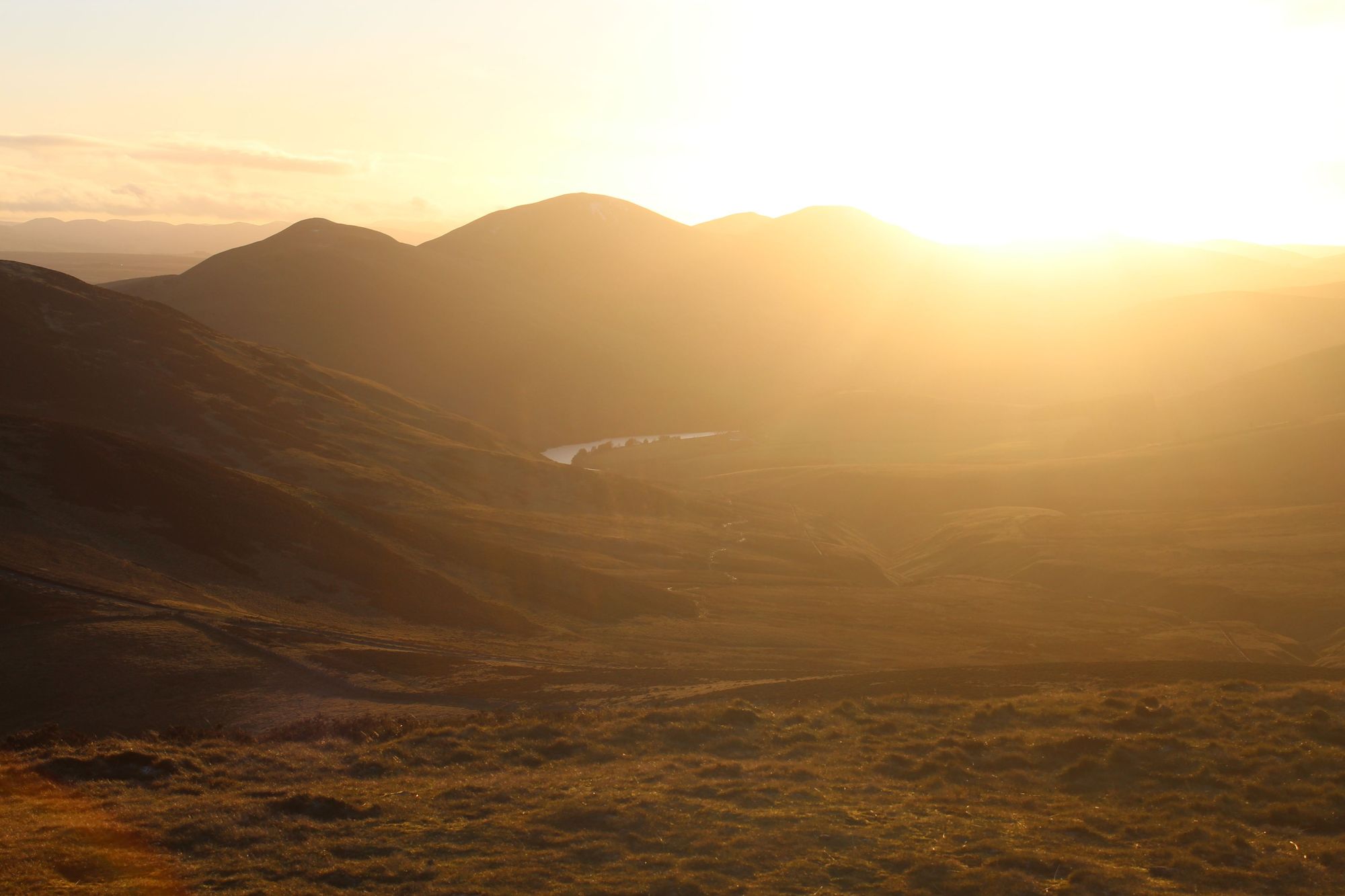
This is a demanding five mile (8km) thru-hike which takes in several hill tops, and doesn’t loop back. It's also a walk between two bus stops. You can grab the number 4 Lothian Bus from the city centre to get out to the start point, and the number 10 back to the city centre from the finish point in Bonaly.
The trek starts from the terminal of the bus station, which is handy. You’ll turn up as though you’re going to Hillend, the artificial ski slope, but quickly turn off and do the bulk of your climbing for the day in the opening mile. A bit of route-finding will be required at this point, particularly since they added an 'alpine coaster' to the offerings at Hillend. The gradients can get tough here, so take your time, enjoy the views back to the city, and don’t burn yourself out on the opening climb.
Things will become a lot more manageable as you reach the peak of Caerketton and rejoice, because now that you’re up – much like the 10,000 men of the Grand Old Duke of York – you are up. From here it’s mostly rolling hills and great views.

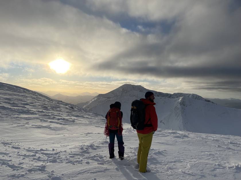
The wind can get pretty bad on these hilltops, so be cautious and surefooted. From Caerketton you follow the trail over to Allermuir (where there is a great view of the high peaks of the Pentlands and Glencourse Reservoir), then head down to Castlelaw Hillfort crossroads. From Capelaw Hill, it’s nearly all downhill to Bonaly.
You’ll reach White Hill soon, and can follow the gravel path down. There are various ways, including a trail through the forest with a stream and small waterfall.
3. 5 Peaks of the Pentlands - Flotterstone Circular
- Length: 10 miles (16km)
- Total Ascent: 624m (2,025ft)
- Approximate time for hike: 5 hours +
- Getting there: You can get the 101 or 102 from Princes Street to the Flotterstone Inn, and then get the 101 or 101A home from the bus stop at Nine Mile Burn. The service is run by Stagecoach West Scotland. Less frequent services on weekends.
Starting at the Flotterstone Inn, this testing circular takes you along the ridge of the highest hills in the Pentland range. It could be said to be the ultimate day out in the Pentlands and requires both a full day of time and a good level of fitness.
The route heads along a gravel path from Flotterstone and then steeply uphill.
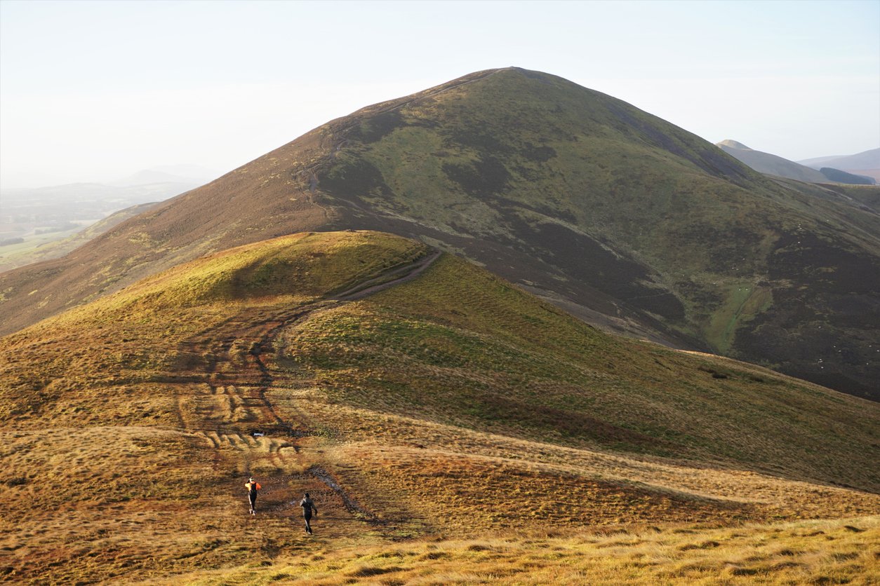
This will be the biggest climb of the day - but it’s not the only one. You'll first summit Turnhouse (506m/1,600ft), then make your way over to Carnethy Hill (573m/1,879ft) before you head to the high point of the Pentlands, Scald Law, at 579m (1,899ft). All this time, you'll have views out to Edinburgh behind you, to the Lammermuir Hills on your left, and steeply down to Glencorse Reservoir, and then Loganlee Reservoir, on your right. You'll make your way to the spiky tops of East Kip and West Kip, and then descend down to those reservoirs, with a pleasant, flat (but deceptively long) walk back to Flotterstone along the water.
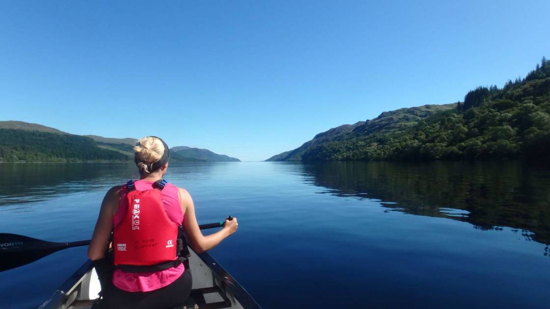
This isn't an easy route, but it's a rewarding one, with brilliant hilltop views.
4. Swanston Hilltop Circular
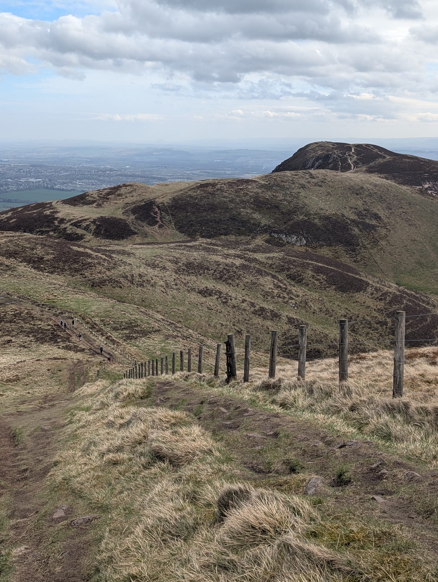
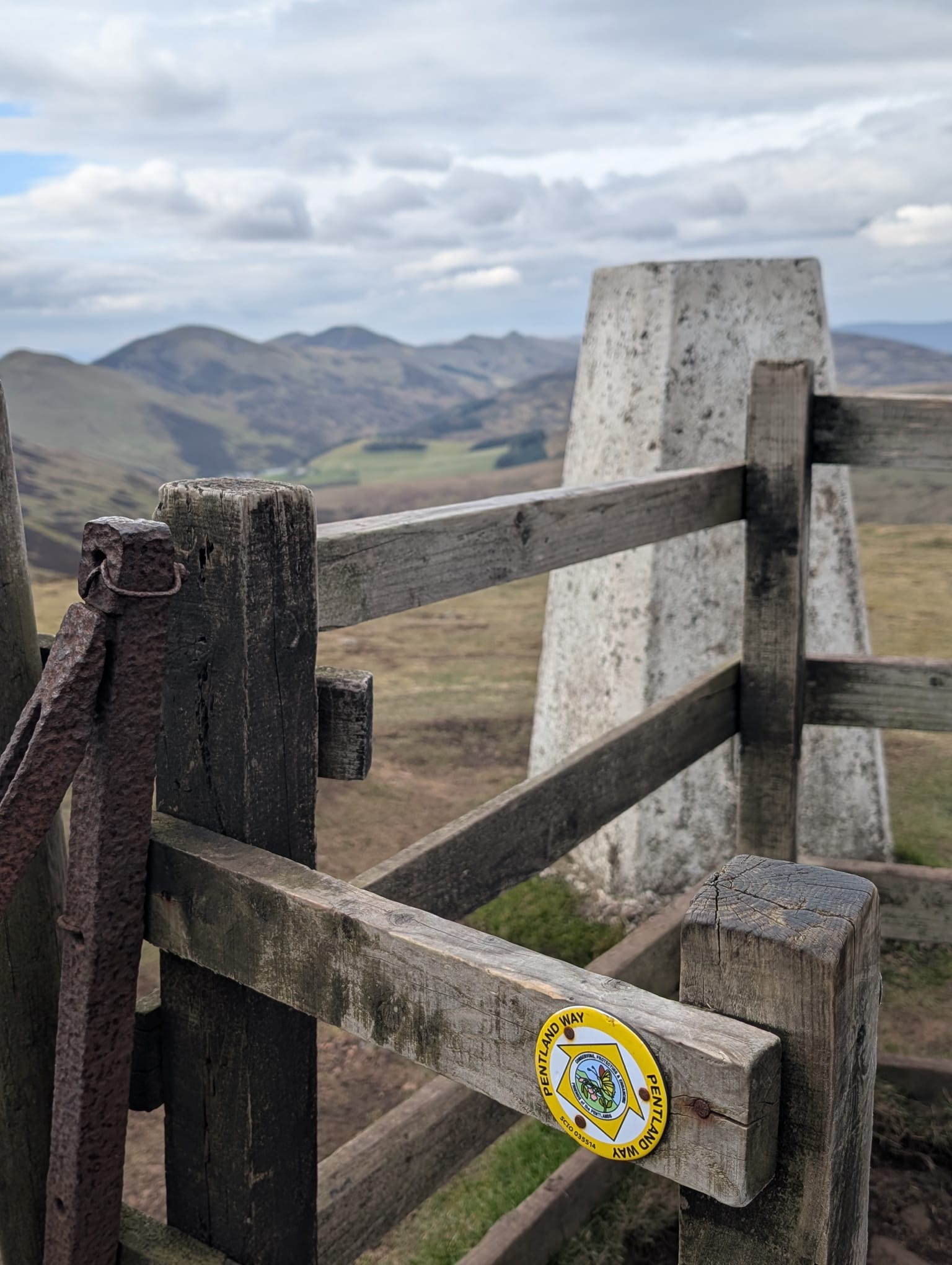
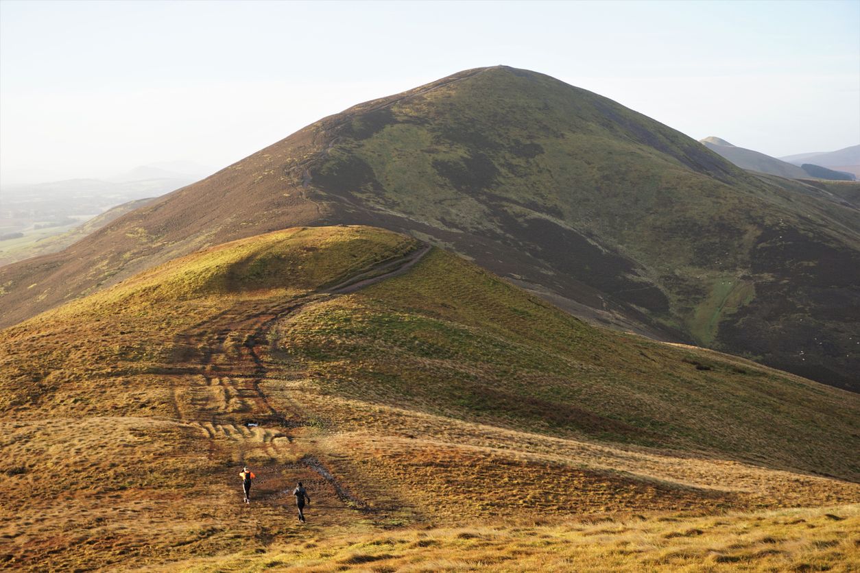
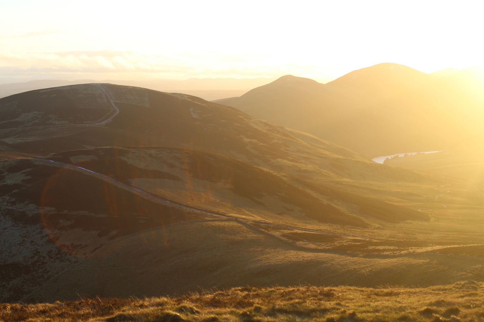
A view of the route to Caerketton, left, and the trig point at the top of Allermuir, right, with the high peaks of the Pentlands beyond. Photos: Stuart Kenny
- Length: 3.61 miles
- Total Ascent: 327m (1,075ft)
- Approximate time for hike: 2-3 hours
Getting there: The 27 or 4 bus from Edinburgh city centre will take you to Hunters Tryst, from where it is roughly a 15-minute walk to Swanston Golf Club, where the route starts.
This is a short but satisfying route which starts at Swanston Golf Club. Look for the car park just left of the actual clubhouse and follow the well trodden trail up. You'll first go past some quaint cottages with thatched roofs (where Robert Louis Stevenson, author of Treasure Island once lived). Then you'll go past part of the golf course - always uphill - past some some fields with trees and ponies or donkeys in them. You'll reach a higher gravel path and signpost just beyond this, and if you're lucky, there might be a Highland cow or two hanging around.
Look at the signpost here. You'll head up the dip between the two high hills beyond, towards the summit of Allermuir (493m/1,617ft), from where you can see the five peaks of the Pentlands and Glencorse Reservoir. It's a great climb, with fantastic views of Edinburgh. Rathering than going back down the same way, you can take a nice, high route over to Caerketton Hill (478m/1,568ft). There's a bit of dip and dive, and depending on the time of year, some grouse fluttering around. Past the summit cairn on Caerketton, it's a steep downhill.
Be careful not to miss the turning back down on your left that will allow you to loop around here. There are a few options, and it's easy to choose one that is too early or too late - but there is a proper, defined path. Go slow and take your time to find it. This will allow you to descend to the same hill that you first came up, completing the loop by descending past the golf course and thatched cottages.
5. The Seven Summits of Edinburgh
- Length: 17 miles (27km)
- Total Ascent: 2,025ft (6,643ft)
- Approximate time for hike (not including transport): 8 hours +
- Getting there: Calton Hill is a short walk from the city centre of Edinburgh.
Now this is a seriously big day out.
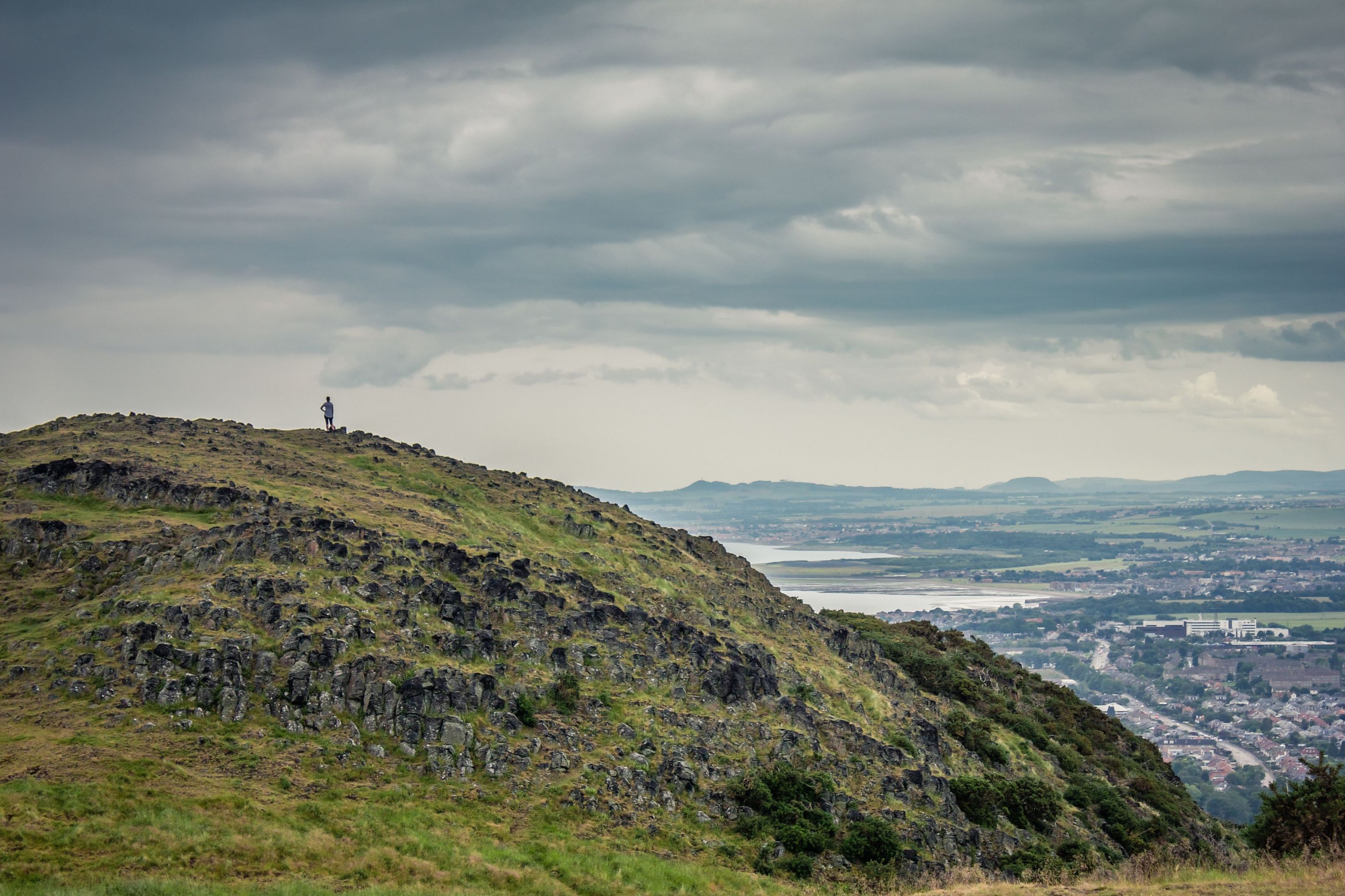
But there's such a wealth of beauty in Edinburgh, we thought we’d include the seven summits of Edinburgh route as well, in the city itself. Edinburgh was built on seven hills, and this intense route goes up them all. It’s a lengthy trek at 17 miles (27km), so do not mistake this for sightseeing. In return, though, you'll really discover Edinburgh and its green spots.
If this sounds too intense (we don't blame you), then you can pick off any one of the seven summits for a much gentler day out in Edinburgh. The summits are:
- Calton Hill (103m/338ft)
- Castle Rock (128m (420ft)
- Corstorphine Hill (162m/531ft)
- Craiglockhart Hill (175m/574ft)
- Braid Hill (213m/699ft)
- Blackford Hill (164m/538ft)
- Arthur's Seat (251m/823ft)
Of course, most of this route is on streets, roads and footpaths, so it’s not as green as the Pentlands, but it's full of history and intrigue. Starting on Calton Hill, one of the city's great 360-view points, you’ll walk to Edinburgh Castle, the first of the peaks - an ancient volcanic plug. From here you’ve got the longest bridging walk of the trip over to Corstorphine Hill. You’ll pass through the lovely Dean Village on your way though, and there’s a tower on top of the hill, built as a memorial to Sir Walter Scott in 1871, 100 years after the author’s death.
From Corstorphine Hill it’s over to Easter Craiglockhart hill, then you’ll continue on to summit the Braid Hill. Watch out for stray golf balls here! You can then make your way over to Blackford Hill, the sight of an observatory, before it’s on to the highest point, Arthur’s Seat. The extinct volcano is one of the highlights of the trip, and the panoramic views from the top are excellent. The nice thing about this route is that you can go up Arthur’s Seat one way, and come down another, giving you the full feel of the landscape. It’s not far to get back to Calton Hill from there - and you'll be feeling it in your feet and you legs at this point.
At 16.5 miles, this one will take all day (though you could cheat with some buses), but if you do complete it, you can definitely say you’ve seen the city. If you're only going to climb one or two of these hills, head to Arthur's Seat and Calton Hill.
Fancy a bigger adventure but don’t have much time off? Check out these adventures which only take up a weekend.