

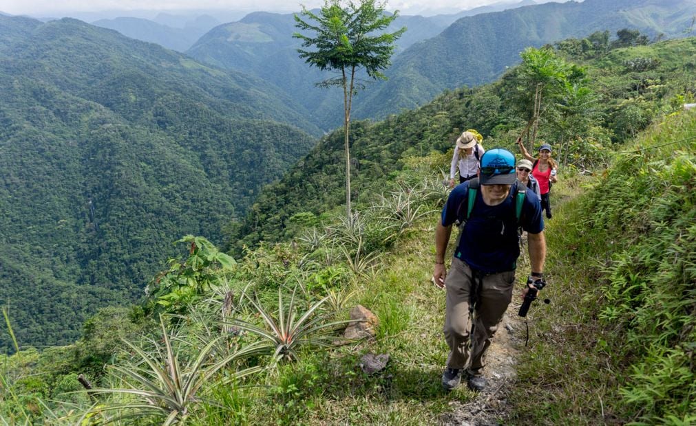
The best hikes in Colombia showcase the incredible biodiversity that the country has to offer. Trekking Colombia can mean anything from hiking through rainforests or on the outskirts of a vibrant city to visiting a a coastal town, a coffee farm or following the path of an almighty river. This is a country which is second only to neighbouring Brazil in terms of global biodiversity and has whole hosts of animal life – over 50,000 species.
The Sierra Nevada de Santa Marta mountains, famous for the trek to the Lost City / Ciudad Perdida, are also the highest coastal mountains on the planet. The beauty of Medellín and the trekking opportunities in the area are no secret. Less people know about Salento and their UNESCO-protected coffee hills, or that you can also visit the Amazon rainforest in Colombia.
It’s important to note that these route descriptions are only short summaries, designed to inspire but not to serve any navigational purpose. They are not intended to guide you on the route and further mapping and planning (or a local guide!) will be required if you want to safely walk any of the trails featured.
So, where should you start if you’re looking for the best hikes in Colombia, and the ultimate Colombian trekking experience? That really depends on what you’re looking for from your visit. Obviously any list of the “best hikes” anywhere in the world is subjective, so what we’ve done here is provide you with some options that showcase the diversity of the hiking and trekking on offer. You can delve deep as you want from there. So, in no particular order, here are just a handful of what we think are the best hikes in Colombia.
1. Trek to the Lost City / Ciudad Perdida from Santa Marta
Santa Marta is a city on the northern point of Colombia, in the Magdalena region, and sits on the Caribbean Sea. Behind it lies the mighty Sierra Nevada de Santa Marta mountains, making the city the gateway for the hike to the Lost City, also commonly known by its Spanish name Ciudad Perdida. Santa Marta itself is a beautiful city. While the main drag itself is quite touristy, with little stalls and markets selling all the regulars, there are an array of less visited beaches which are absolutely beautiful. It’s also well worth taking the time to explore the historic centre of Santa Marta, and take in the culture of the town at night. In the centre you can find anything from break dancing to salsa dancing at nighttime. It’s an incredibly colourful, exciting area to explore.
“The Lost City itself is a remarkable ancient space built by the indigenous people of the Sierra Nevada de Santa Marta rainforest”
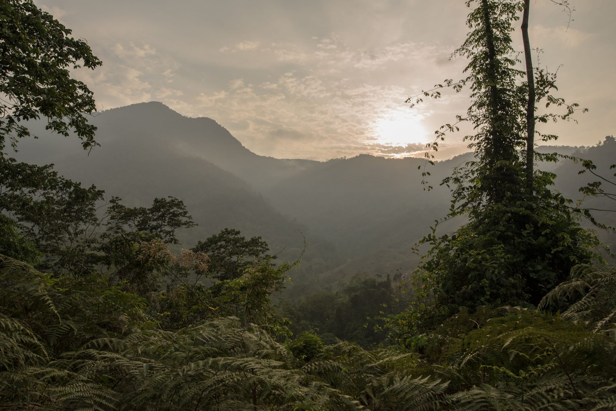
Heading into the mountains, you’ll take a 4×4 to get you out of Santa Marta, likely very early in the morning, up the mountains, through some dusty trail roads and into the farmlands on the edge of the vibrant rainforest. From here, you’re in the rainforest, and you’ll see, smell and feel as much. The lush greenery never ends and while the trails are well established, you’ll have to find your way across a few rivers via stones, bridges or plastic bags on the feet. The higher you climb, the better the panoramic views will become when – as they often do – the trees open up to reveal the masses of forest life that lies before you.

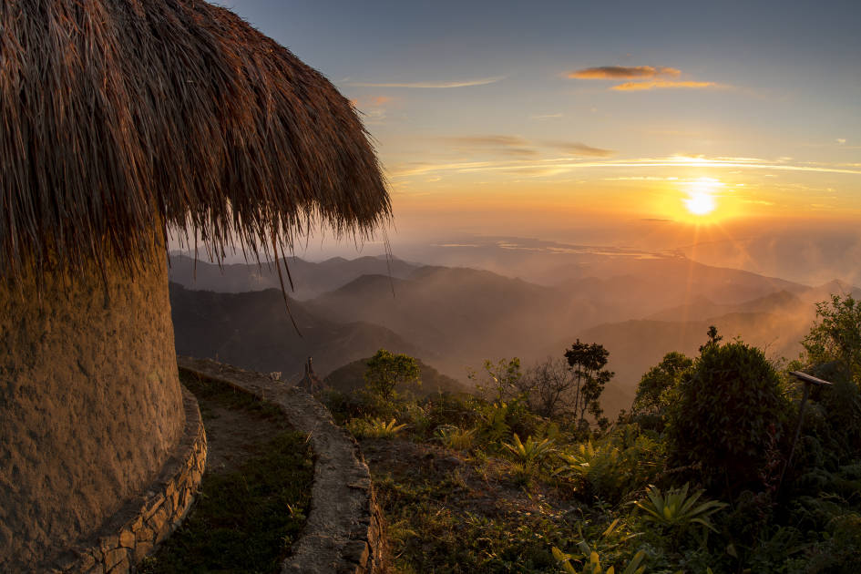
The bugs will start to bug you if you’ve forgotten your preventative measures, but if you’re lucky, you can also sight anything from a toucan to a condor to a hummingbird. Down on the ground, cougars and jaguars roam (though it’s unlikely you’ll bump into them with their backpacks on half-way up the Lost City trail), and 3,000 species of plants also grow here.
The weather will be humid, hot, and given it’s a rainforest, extremely prone to torrential rain as well. Rainy season runs from September-October, and actually during September the Ciudad Perdida hike is shut as a result.
The accommodation along the way on this trek is really quite scenic. You’ll find little camps, complete with bunk beds and big old views of the rainforest along the way. Often these come with options for little additional add-on hikes to waterfalls or secret lagoons where you can swim. It’s unlikely any of these camps will be too busy, until you get to the Lost City base camp. This is at the remarkable 1200-stone staircase up to Ciudad Perdida, by the edge of a river, and it tends to be bristling with backpackers ready to head up the following morning.
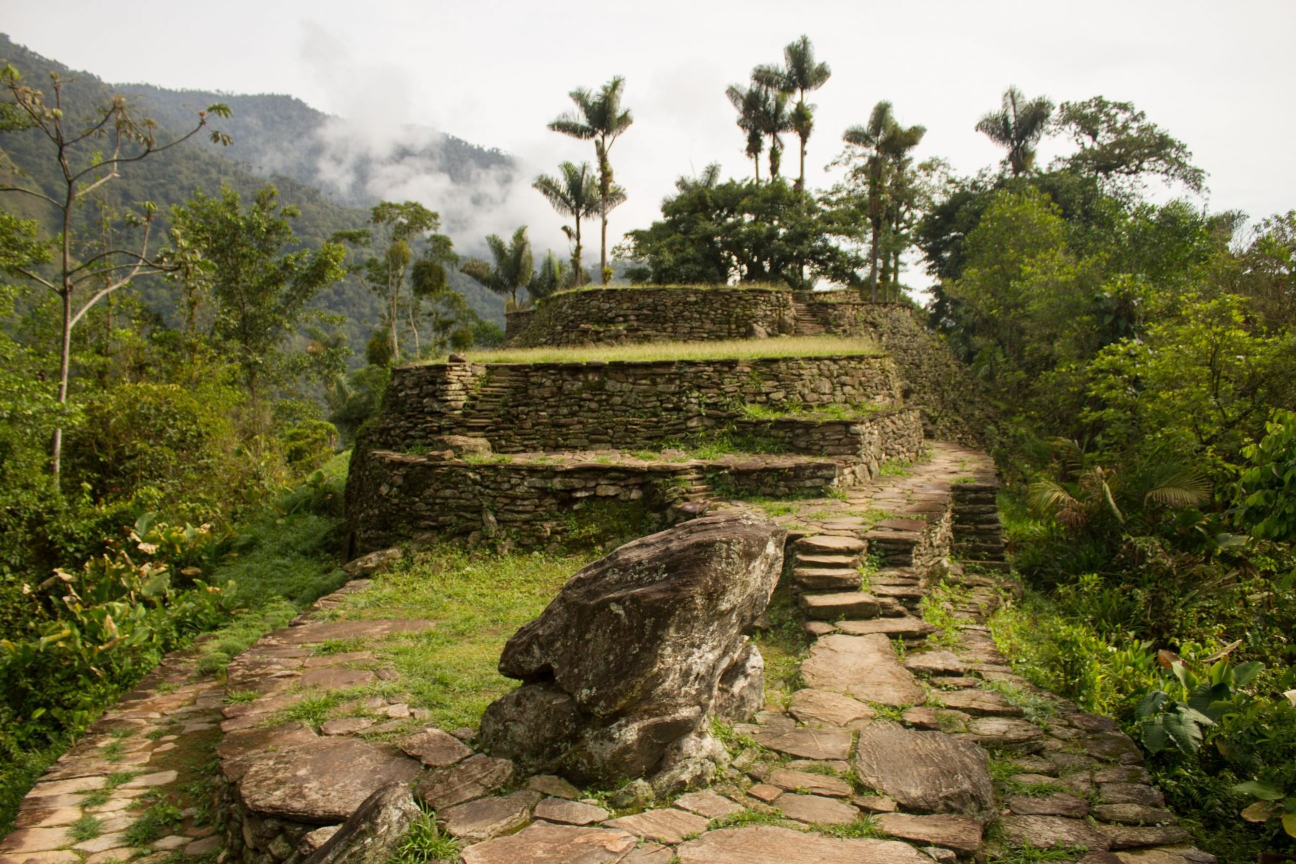
The Lost City itself is a remarkable ancient space built by the indigenous people of the Sierra Nevada de Santa Marta rainforest; many of whom still live in the rainforest now, and who you are likely to meet and learn a lot about and from along your hike. Ciudad Perdida dates back to 800 AD but was re-discovered by gold diggers in 1973, and subsequently used for tourism by the government.
At first (tourism began in 1982) and for a long time afterwards, this was exploitative to the indigenous people but since, many of the indigenous people have become involved in adventure tourism and using it to sustain, grow and secure their communities. Before 1991, the indigenous people in Colombia weren’t recognised as indigenous people, but a new political constitution in 1991 recognised them as indigenous and gave them autonomy over their land. They see themselves as “the guardians of the heart of the world”, and are using the money they make through tourism to buy back more land from farmers, and replant the forest.
The hike to Ciudad Perdida is tough, demanding and especially if the weather is adverse, it can be rather slippy, but it’s also one of the most rewarding hikes in the country, and there’s no doubt that it’s certainly one of the best hikes in Colombia. If you’re after more, check out our hints and tips to hiking to the Lost City.
2. Hiking around Medellín – The Cerro Quitasol Trek
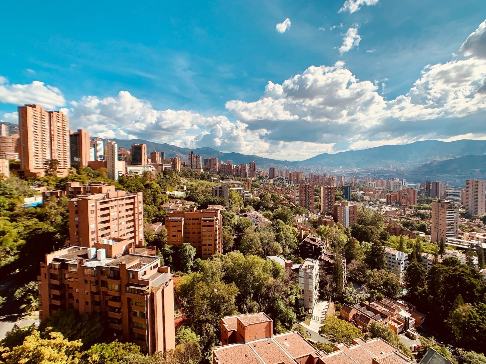
You don’t have to go far from the legendary city of Medellín to find some remarkable hiking trails – so no wonder some of the best hikes in Colombia are in the area.
Although the city of Medellín, set in the Aburrá Valley, a central region of the Andes Mountains, is surrounded by lush green forest and peaks, there aren’t a whole lot of well-marked trails in the mountains. That’s primarily because hiking and trekking isn’t built into the culture here; and as you can imagine, the notorious history of the city also played a part in keeping tourism away for many years, which in turn will have set back tourist interest in hiking and the building of hiking infrastructure. The city has certainly turned things around quite remarkably since the days depicted in Netflix series Narcos, which is set in the 80s, but the dangers of the city in days past no doubt impacted upon a reluctance of both locals to hike and trek locally. All that means now, though, is that like many of the best places in the world, your best bet is to get a guide to discover hidden hiking and trekking spots.
If you do get a local guide we’ve no doubt they’ll be able to take you to spots less known than the Cerro Quitasol, but we’ve chosen this hike for our list because it’s one of the highest points in Medellín, it’s easily accessible from the city, and it has a truly remarkable view.
“This trail peaks around 2800 metres, meaning the elevation gain on the way is 1200 metres”
The hike starts near the Niquia Metro Station and heads north, rising up through the city and town, before getting out into the hills, which at first are open and roll towards the peak. There are a variety of different routes. One is steeper and quicker; others more-shaded and mellow. You’ll pass some really beautiful trails, there are some old, ruined buildings and rivers. There’s also a beautiful, historic cobblestone path believed to be an old, indigenous road.
Of course, something important to note for the Cerro Quitasol hike is that just because this hike is accessible from the city of Medellín doesn’t mean it’s easy. Remember you’re in the Andes. And if you’re going to get a view of a mountain city, you’re going to have to get some serious height. This trail peaks around 2800 metres, meaning the elevation gain on the way is 1200 metres. Ben Nevis, the highest mountain in the UK, is 1345 metres; so that should give you an idea of what you’re facing here, and remember that in Colombia the weather can be pretty demanding too – whether that’s sweltering heat or torrential rain.
Medellín is known as “the city of Eternal Spring” though, thanks to the microclimate created in the valley by the surrounding Andes mountains, so hopefully those are the conditions you’ll get on your visit.
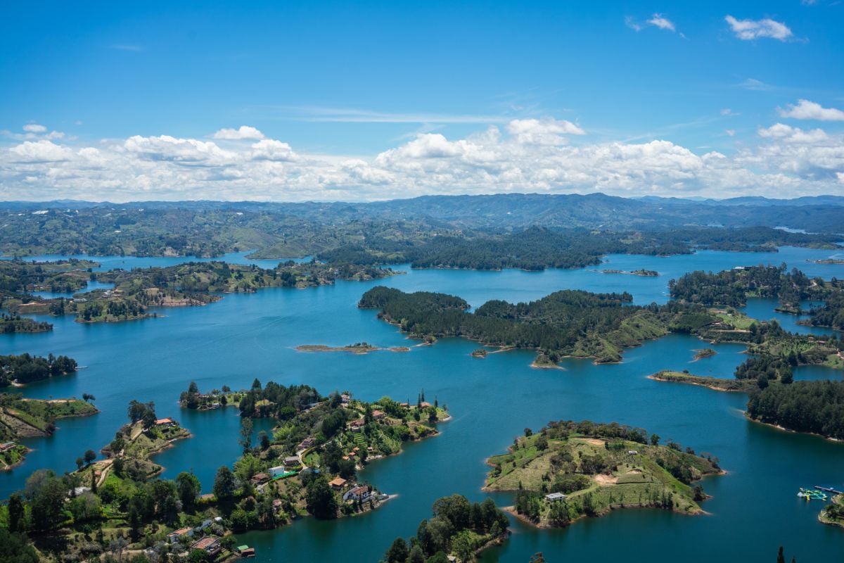
It’s also worth checking out Cerro El Volador, which at 106-hectares is the largest natural park in Medellín and is one of the seven “guardian hills” of the city. Or another option is El Peñon de Guatape (“The Stone of El Peñol”), although it is a bit further out of the city.
El Peñon de Guatape has a remarkable view of the water and the islands Embalse del Peñol, but you’d need to sort transport out to the area from Medellín, which is about an hour and a half away. It’s a full day trip, and truth be told, it’s less of a hike than it is an attraction – the rock goes up to 2,135m, and you scale that via a set of over 600 vertigo-inducing stairs up to the top. It’s still off the radar of most tourists, though, and when you do reach the top of that staircase, the view is absolutely breathtaking. Check out our hints and tips article for hiking in Medellín.
3. Hike the Los Nevados National Natural Park and Salento
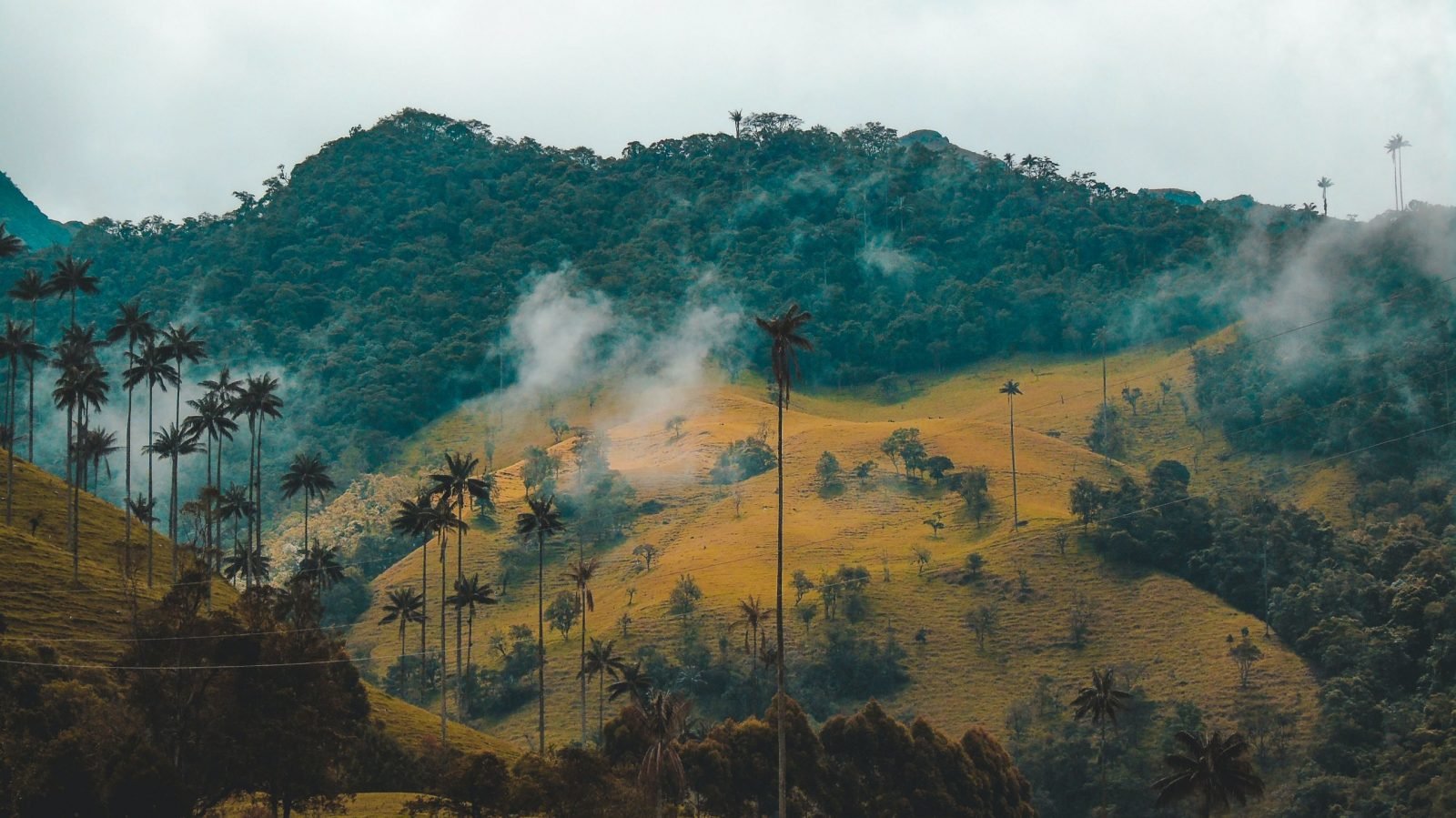
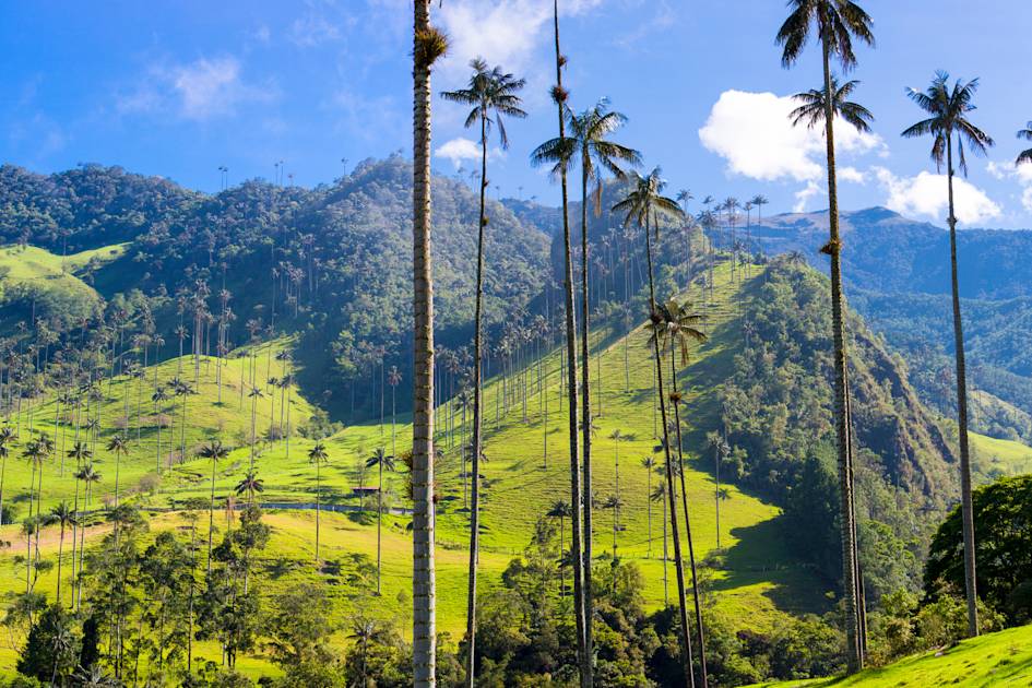
Los Nevados National Natural Park is one of the crown jewels of Colombia’s wide range of scenery. You might have seen photographs like the one above of rolling green hills punctuated by strange, lanky palm trees? That’s the Los Nevados National Natural Park, and when you see those trees, odd are, like above, it’s the Cocora Valley. The trees are wax palms, the tallest palm trees in the world, and they can reach up to 60 metres high. Hey, we told you Colombia was the second most biodiverse place on the planet, so it’s bound to have some real funky plant life, right?
There’s a whole host of animal life here too – including but not limited to spectacled bears, parrots, marmots, mountain tapirs, cougars, oncilla (a sort of small tiger cat) and the pudu, the world’s smallest deer are also found in the park.
“The trees are wax palms, the tallest palm trees in the world, and they can reach up to 60 metres high”
The hiking in Los Nevados National Natural Park is extensive. Here, we’re going to talk about a hike to the top of Paramillo del Quindio at 4750m; but there’s so many reasons to visit this area; from the views of volcanoes to the elevated lagoons to the mysterious cloud forests.
Paramillo del Quindio is one of the most beautiful mountains in the Los Nevados National Park – between and in sight of the Tolima, Santa Isabel and Ruiz volcanoes. It’s not an easy climb, but the best ones never are. The trail travels through tropical scenery, you’ll see those walk palms, the Quindio River and get yourself that big view and sense of achievement at the top of Paramillo del Quindio.
We should note that Los Nevados National Park is also in Salento, which you may have heard of. Salento is also one of the prime coffee regions in Colombia. If you don’t think about coffee when you think of Colombia, then you should. Colombia is actually the third-highest global producer of coffee, with an average total of 11.5 million bags per year (which is roughly how many bags it takes to get this writer up on a Monday morning).
Seriously though, the coffee in Colombia is next level; and in visiting Salento you’ll also have the chance to see an Andean town which is actually a UNESCO-listed coffee zone. Imagine making coffee so good that UNESCO protects you. Salento is to the west of Bogotá, the capital of Colombia, and the road trip from Bogotá takes about seven hours by a coach. It’s comfier than it sounds though, and you’ll pass through rolling hills and agricultural settlements.
4. Go off the Grid and Hike into the Samana Watershed
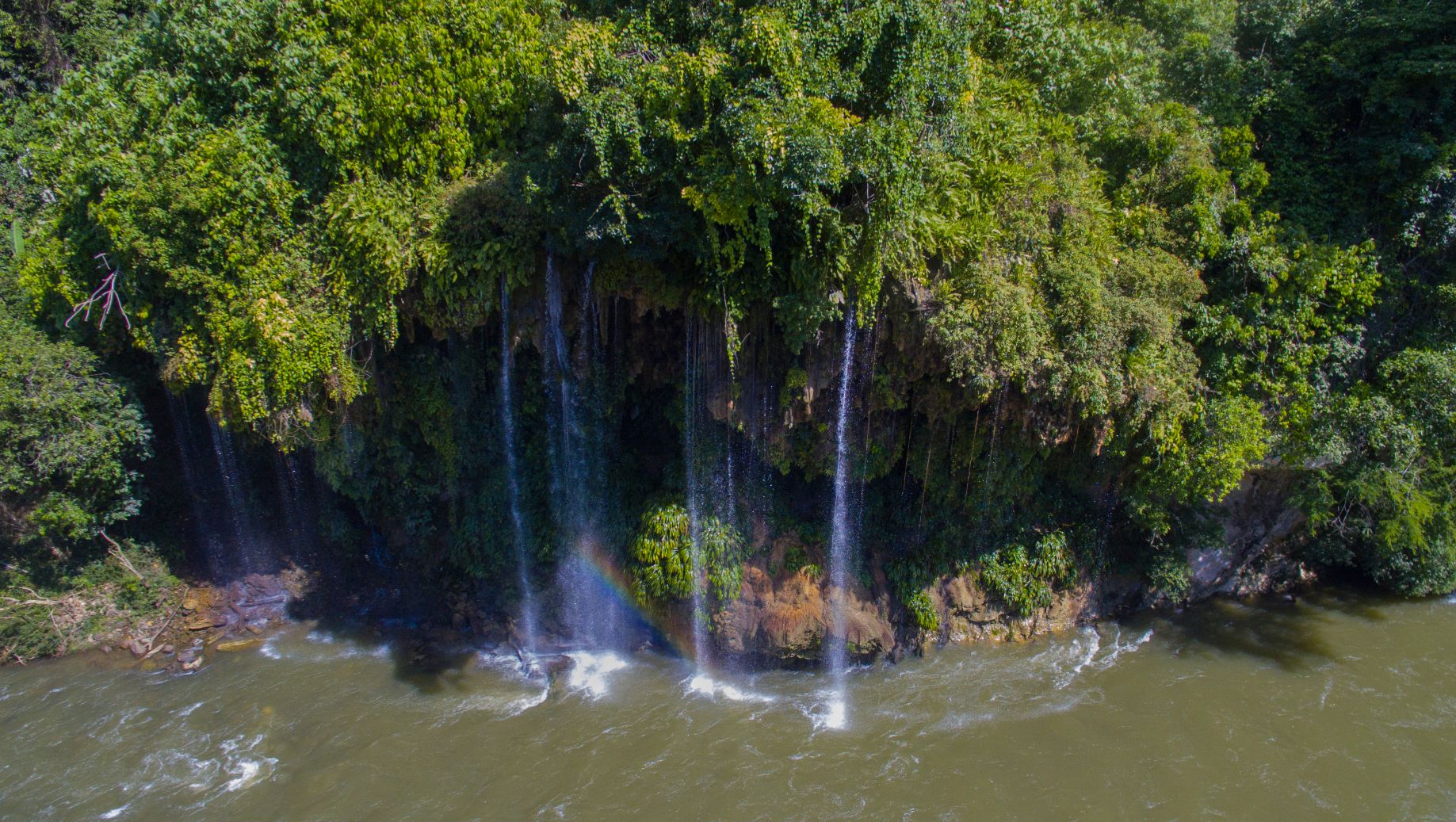
It’s easy to forget how big Colombia is. It’s an enormous country at 440,831 square miles, bordering both the Pacific Ocean and Caribbean Sea, and with so much biodiversity, and so much to see, it’s no wonder that so many of the trails and forests in Colombia are still relatively unvisited by tourists.
This is one such hike that fits into that category, and yet is accessible, with Medellín as the nearest city to the hike. It’s a two-hour drive from Medellín to the starting point of the hike, and from there, you’ll descend into a tropical paradise few visitors have had the chance to set eyes on. You’ll trek into the valley of the Rio Verde of Lose Henados. It’s an area that was once a FARC stronghold, and while it’s entirely safe now, that does mean that the area is rampant not only with beauty but with history and stories as well.
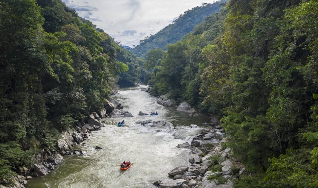
This trek is part of our 100km Jungle Expedition into the heart of Colombia. Take it on and you’ll see an area rarely sighted by other tourists. There’s off the beaten track, and then there’s this. Serious stuff!
5. Hiking in Bogotá – Climb Las Moyas
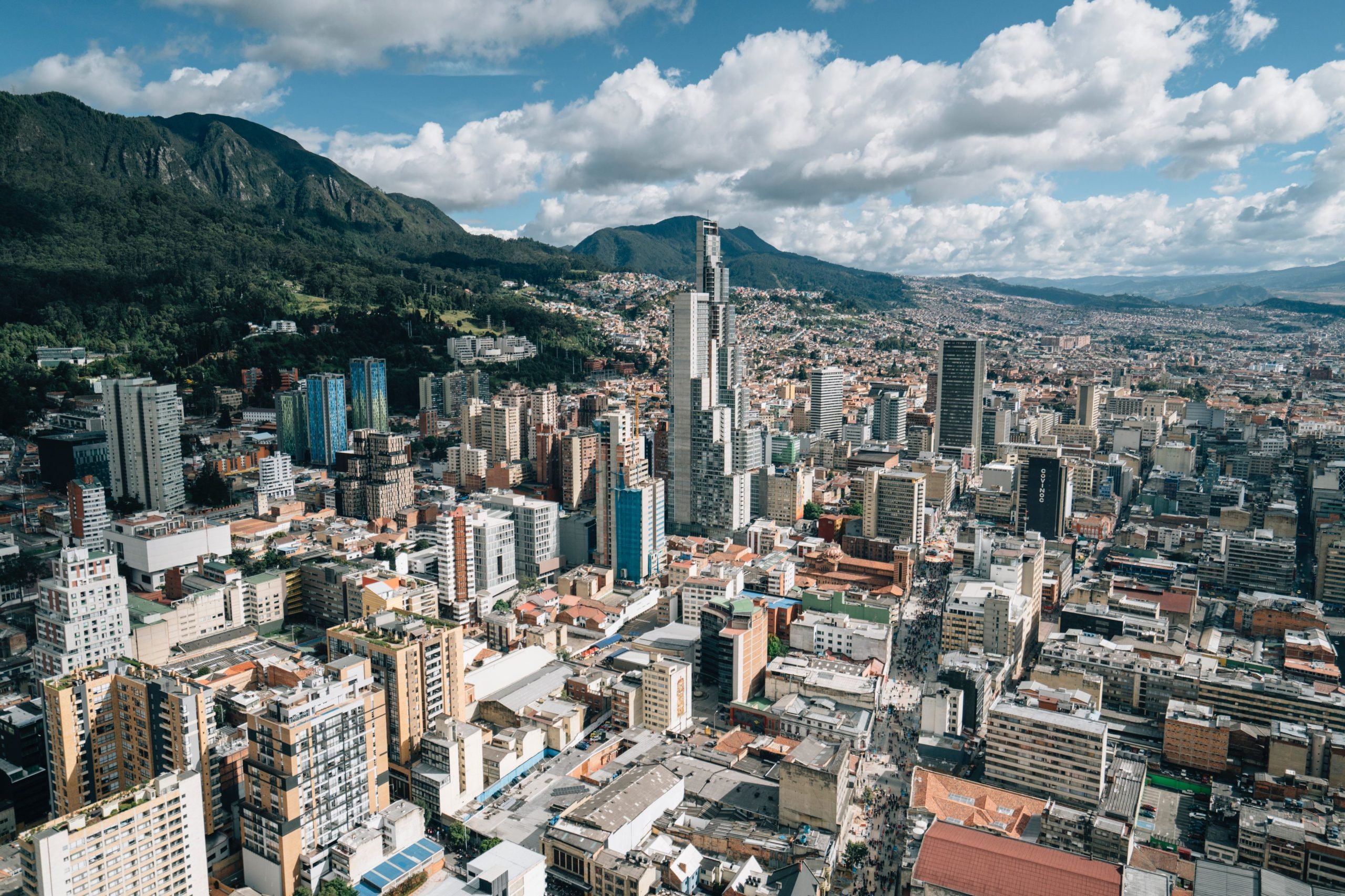
Bogotá is the capital of Colombia and the largest city in the country. It’s also where the international airport is and there’s a good chance that when you fly into Colombia, you’ll land in Bogotá. If you’re looking for the best hiking in Colombia, there’s a good chance you’re going to be leaving Bogotá quite quickly after arriving and heading further into the country, but that doesn’t mean that it’s not a beautiful city – and that there isn’t great hiking in Bogotá too.
Take the Las Moyas – it’s a great hike in the capital that gives you great views in return. Las Moyas is part of los Cerros Orientales, a 14,000 square kilometer reserve with endless hiking routes. The highlight is reaching the conclusion – a high ridge line with limestone formations at over 3000 metres. The doubts that you get looking back out over Bogotá, and far beyond, are the perfect way to say hello or goodbye to Colombia at the start or end of your adventure.
Other hikes in Colombia: The Amazon
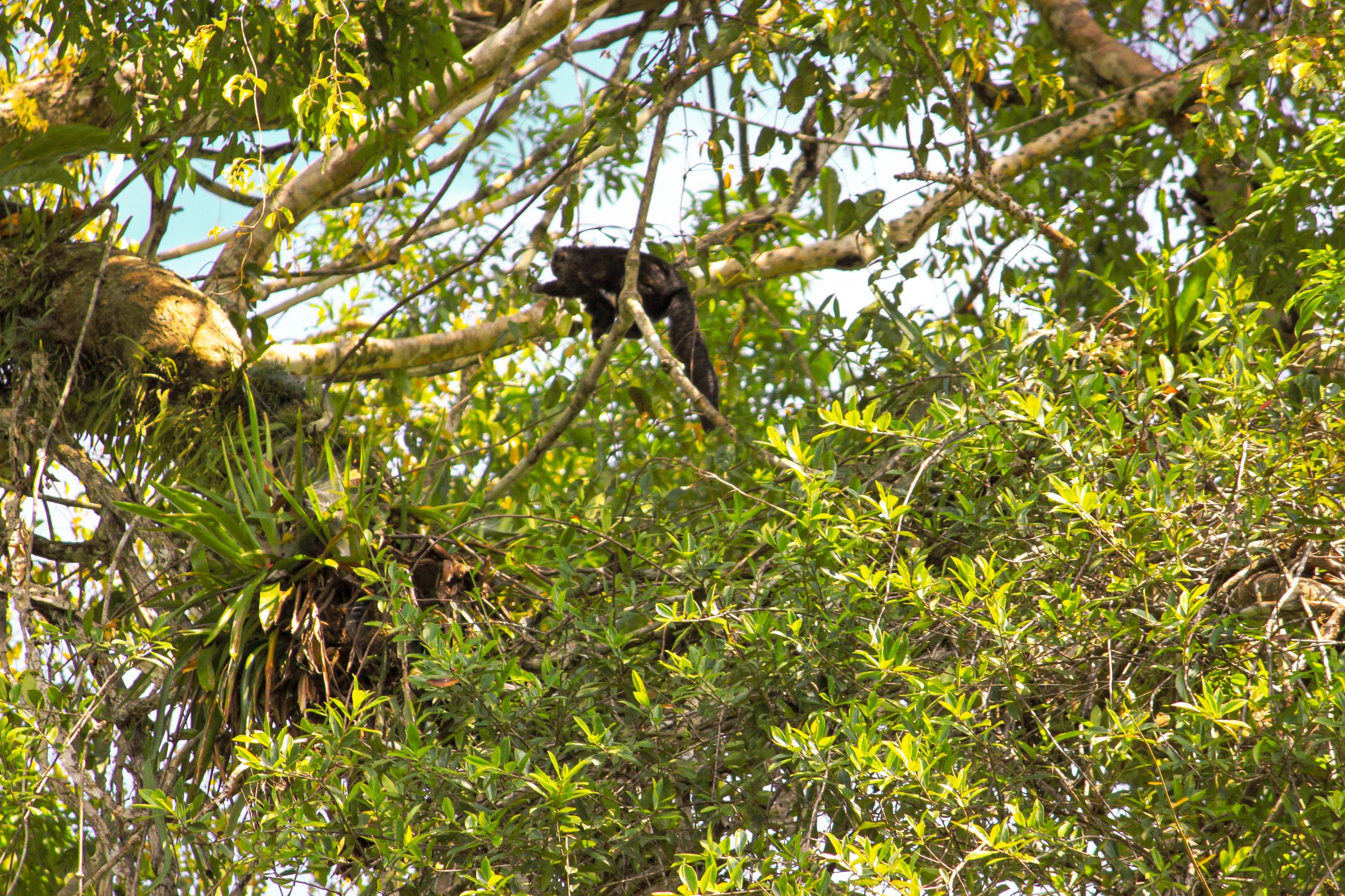
Neighbouring Brazil is far better known for visiting the Amazon, but the Colombian segment of the Amazon rainforest and the river offers its own charm. The city of Leticia shares a border with Peru and Brazil and is Colombia’s best known city on the Amazon river.
The border in Laticia is open, so you can actually make visa-free visits from here (for up to 80km) to the Peruvian and Brazilian sides of the Amazon River. It’s great to add an extra, possibly unexpected element to your trip to Colombia. Buses regularly ride between Laticia and the Brazilian town of Tabatinga.
Laticia is a lovely little easy-going base, but of course, if you’re coming to the Amazonian region, what you’re going to want to do is get yourself into the jungle. Hiking into the Reserva Natural Tanimboca can be a great way to experience the rainforest. Canopy tours involve a hike and information about the flora and fauna, as well as zip lines over the forest.
Inspired? Check out our adventures in Colombia.