


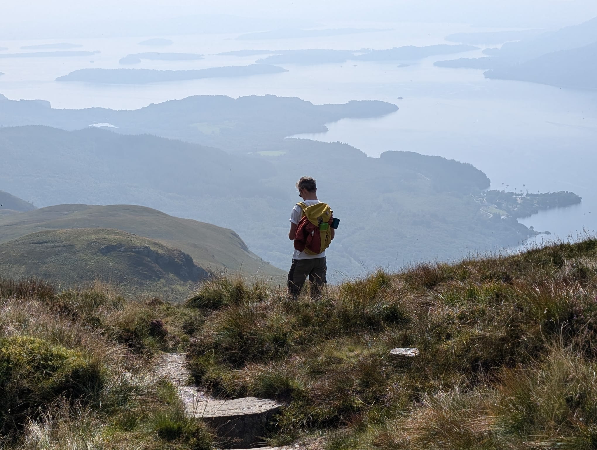
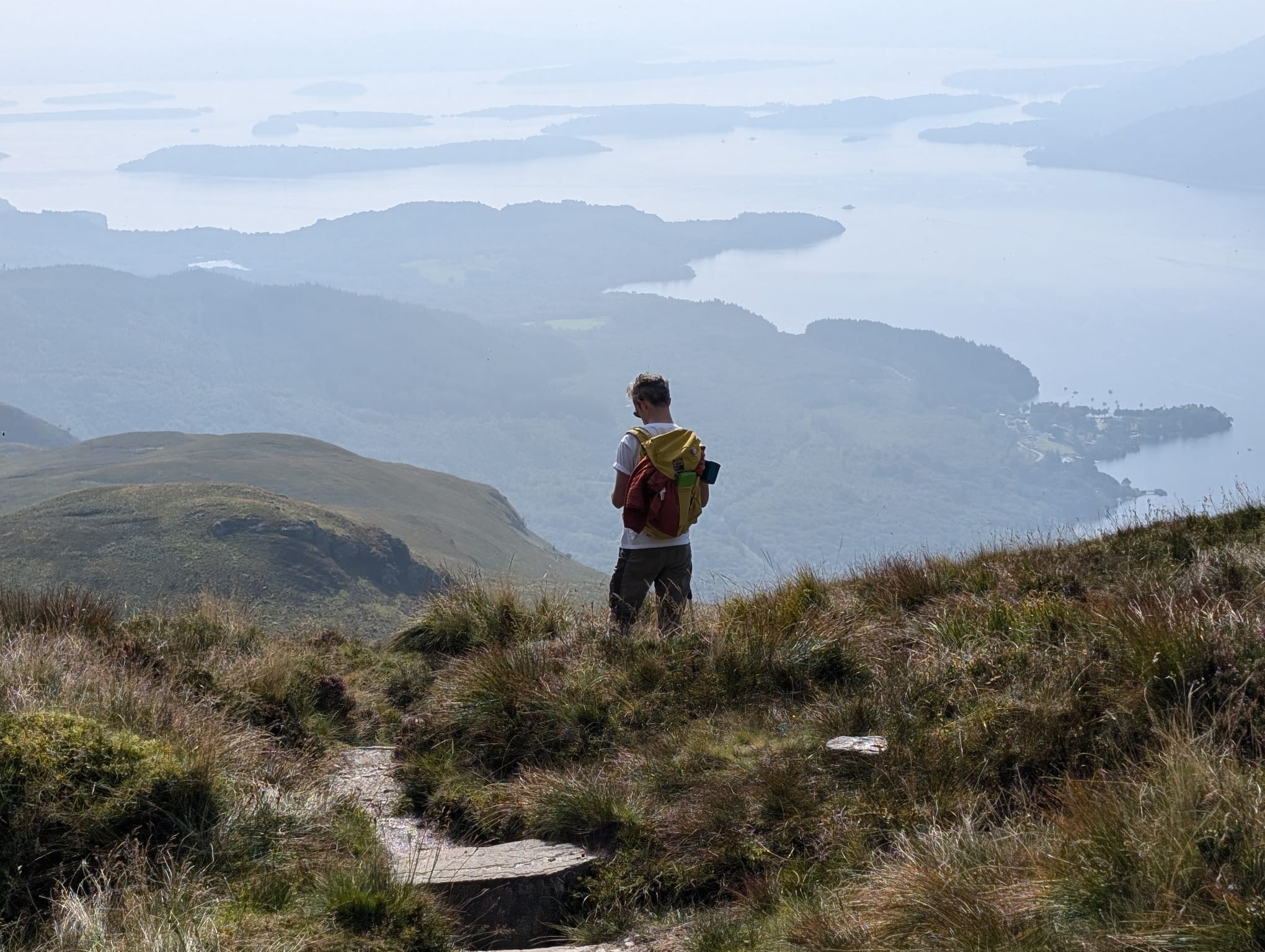
Walking near Glasgow can be a stroll through a country park or a trek up a Munro overlooking Loch Lomond. You can access much more dramatic scenery much quicker from Glasgow, which is in the west of Scotland, than you can from Edinburgh on the east. Within an hour or so on a train or bus, you can be at the foot of actual Munros (mountains in Scotland over 3,000 feet), and experiencing the outdoor beauty the country is famous for.
> Check out our full guide to the best hiking in Scotland
With all that in mind, we thought it’d be better to focus on full-on, adventurous outdoor hiking near Glasgow in this list. That’s as opposed to the same old, easier walks in the country parks nearby. What that does mean is it might take a bit longer to get to these hiking trails from Glasgow. But each of the options are doable in a day, starting from and finishing in Glasgow. Once you get there, you’ll get a proper hike in the Scottish outdoors too.
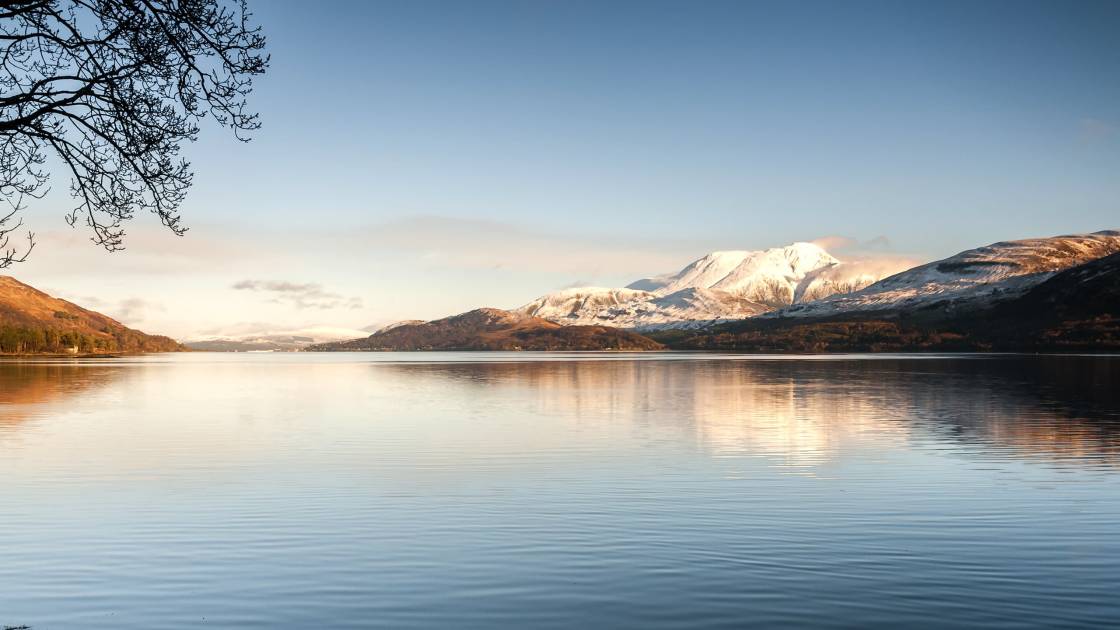
Here are five of the best hiking trails near Glasgow. Some of these are serious mountain hikes in exposed, remote places, requiring appropriate equipment and experience in navigating and managing tough terrain. In bad conditions, or if there is snow on the ground, they are dangerous or simply not possible.
It’s important to note that these route descriptions are only short summaries, designed to inspire but not to serve any navigational purpose. They are not intended to guide you on the route and further mapping and planning (or a local guide!) will be required if you want to safely walk any of the trails featured.
1. Conic Hill from Balmaha
- Length: 2.5 miles (4km)
- Total ascent: 350m (1,148ft)
- Approximate time for hike: 3 hours +
- Drive time from Glasgow: 51 mins
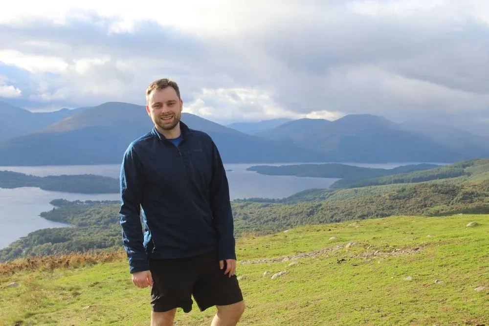
This classic route up Conic Hill starts in Balmaha, climbs to the peak of the hill to take in the exceptional views of Loch Lomond and then returns the same way.
This is a great outing for anyone fit, but relatively new to hillwalking and to Scotland, who is looking for a manageable day out with sublime views. From the summit of Conic Hill, you can see out over the islands of Loch Lomond and look on at the peaks of Scotland's most southerly Munros - from the Arrochar Alps to Ben Lomond and beyond. There are few other hikes which give so much in terms of scenery, without requiring hours and hours of ascent.

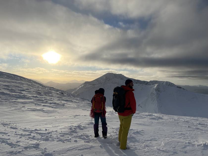
That's not to say that this hill walk is easy, though.
From the car park in Balmaha, you'll follow a well-trodden path (and probably, a good few other people) through the trees and onto some steps. Conic Hill sits on the Highland Boundary Faultline - which divides the Highlands from the Lowlands - and you can look out over the loch from early on in this walk and appreciate that fact. This is where the country is stitched together! On one side, you've got lowlands and rolling hills; on the other, high mountains.
The summit views here are incredible, and if you play around with some maps, you can lengthen this walk and make it a circular rather than an out-and-back.
2. Climb Ben Lomond – Ptarmigan Circular Route
- Length: 7.5 miles (12 miles)
- Total ascent: 960m (3,150ft)
- Approximate time for hike: 5 hours
- Drive time from Glasgow: 1hr 10 mins
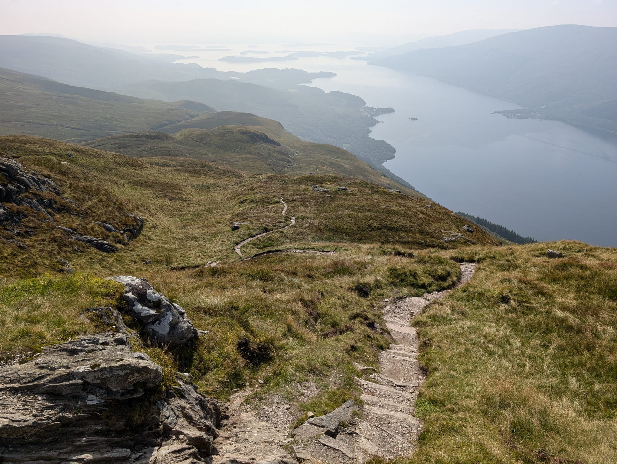
For those who want a Loch Lomond experience that's bigger and more adventurous than Conic Hill, look no further than Ben Lomond. It's Scotland's most southerly Munro - and surely the most climbed Munro in the country.
Ben Lomond is an hour from Glasgow - accessed from the car park at Rowardennan. It’s a challenging climb, too, at 974m (3,195ft) high, but it ends up being many people's first Munro simply due to the fact that it is the one that's closest to the Central Belt cities. You're likely to hit crowds, but the views looking back at Loch Lomond and out over the Trossachs are well worth it.
Start early and climb Ben Lomond on the usual tourist track. From the top, take the Ptarmigan Ridge back down. This way, you avoid some of the crowds, and form a loop rather than an out-and-back. The Ptarmigan Route is steeper and more rugged than the tourist trail. It's narrow and challenging to navigate at times, but with careful navigation and a cautious step, it's a delight.
This is a big day out with ever-present loch views and a fulfilling, dramatic mountain summit, fitting of its fame and status.
Just remember, this is a serious mountain hike and, as such, you need the appropriate equipment. Don't underestimate it, as many unfortunately do.
3. Maudslie Bridge to the Falls of Clyde, on the Clyde Walkway
- Length: 12 miles (19.5km)
- Total ascent: 174m (570ft)
- Approximate time for hike (not including transport): 6 hours +
- Drive time from Glasgow: n/a - starts in Glasgow!
The Clyde Walkway is one of Scotland's Great Trails (a selection of long-distance, well-waymarked routes through Scotland). The route is 40 miles (65km) in full and traditionally walked over four or five days. The fact it starts in the heart of Glasgow, though, allows you to pick off a stage or two at a time.
Naturally, the early stages of the Clyde Walkway are more urban, so we've picked out the final stages of the route here. That said, we'd very much advocate for walking the entirety of the walkway, bit-by-bit, if you live in Glasgow.
Joining the Clyde Walkway at Maudslie Bridge (reachable in an hour or so by public transport). You'll pass through woodland, country estates and idyllic countryside. You're following the River Clyde, so navigation is easy and the scenery both consistent but ever-changing - with birds fluttering around.
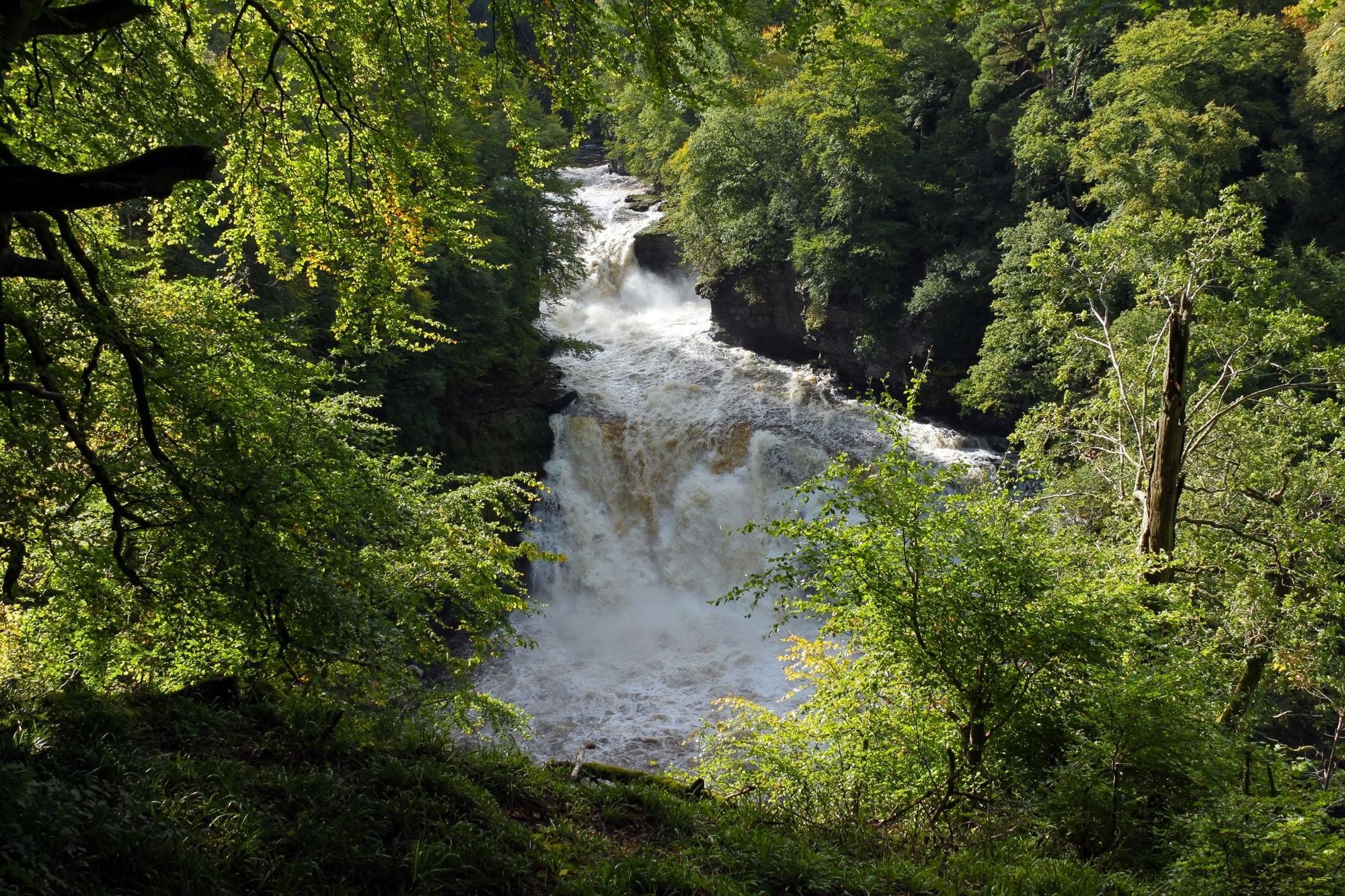
When you reach New Lanark, an 18th century mill village and World Heritage Site, you'll begin a loop just shy of four miles (6km) that will take you to the Falls of Clyde. In Autumn, this place glows, but year-round it's a particularly delightful stretch of trail, home to huge waterfalls that bewitched William Wordsworth and a majestic broadleaf forest. The biggest fall, Corra Linn, is 27m (88m) tall. The rocks around the falls can be slippery, of course, so be careful.
You can get back to Glasgow on public transport from here in under an hour, although the regularity of buses changes, so do check in advance.
4. The Cobbler, out-and-back
- Length: 6.75 miles (11km)
- Total ascent: 920m (3,018ft)
- Approximate time for hike (not including transport): 6.5 hours +
- Drive time from Glasgow: 1hr 15 mins
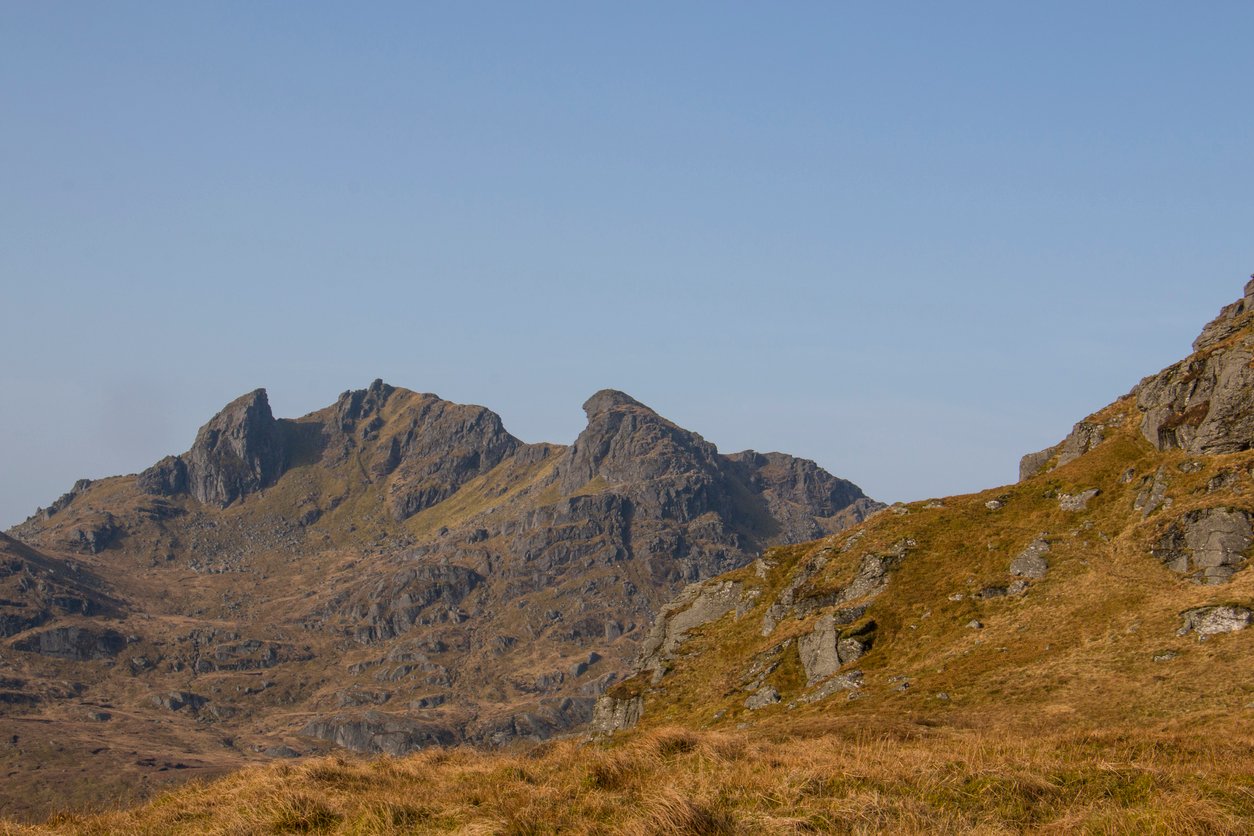
We're back out to Loch Lomond for this classic, scenic hike up Ben Arthur, better known as The Cobbler, in the Arrochar Alps.
The Cobbler is arguably the most stunning mountain in southern Scotland, despite not being Munro height. This route follows a well-trodden trail from the car park, with stunning views up to the distinctive ridgeline along the way. There’s a lot of ascending to do here. The trail goes from the loch up to the 884m (2,900ft) peak of The Cobbler - but it's a good path.
The views from the high trail are fantastic - rugged, rocky mountains, with the glimmering loch below and hills lapping and layering into the distance.
What we've described above is the route to the top section. It's a tough but doable hill walk. Reaching the highest central summit, however, is a different story and should only be attempted by experienced, skilled mountain goers.
The true summit of the Cobbler is an exposed pinnacle which requires a dangerous feat of Grade 3 scrambling. We wouldn't advise you climb it unless you're experienced on such terrain - and even then, you're taking your safety into your own hands. This can be extremely dangerous and, of course, mistakes could be fatal. This is a challenging feat, and mountain experience, respect and caution should all be applied. The majority of walkers do not attempt this scramble, instead enjoying the views (and relative safety) of the easier ground.
This is a big mountain hike, with serious views. Be careful out there.
5. The Magnificent 11 Hike, Glasgow Southside
- Length: 10.5 miles (17km)
- Total ascent: 380m (1,200ft)
- Approximate time for hike: 5 hours +
- Driving time from Glasgow: n/a - starts in Glasgow!
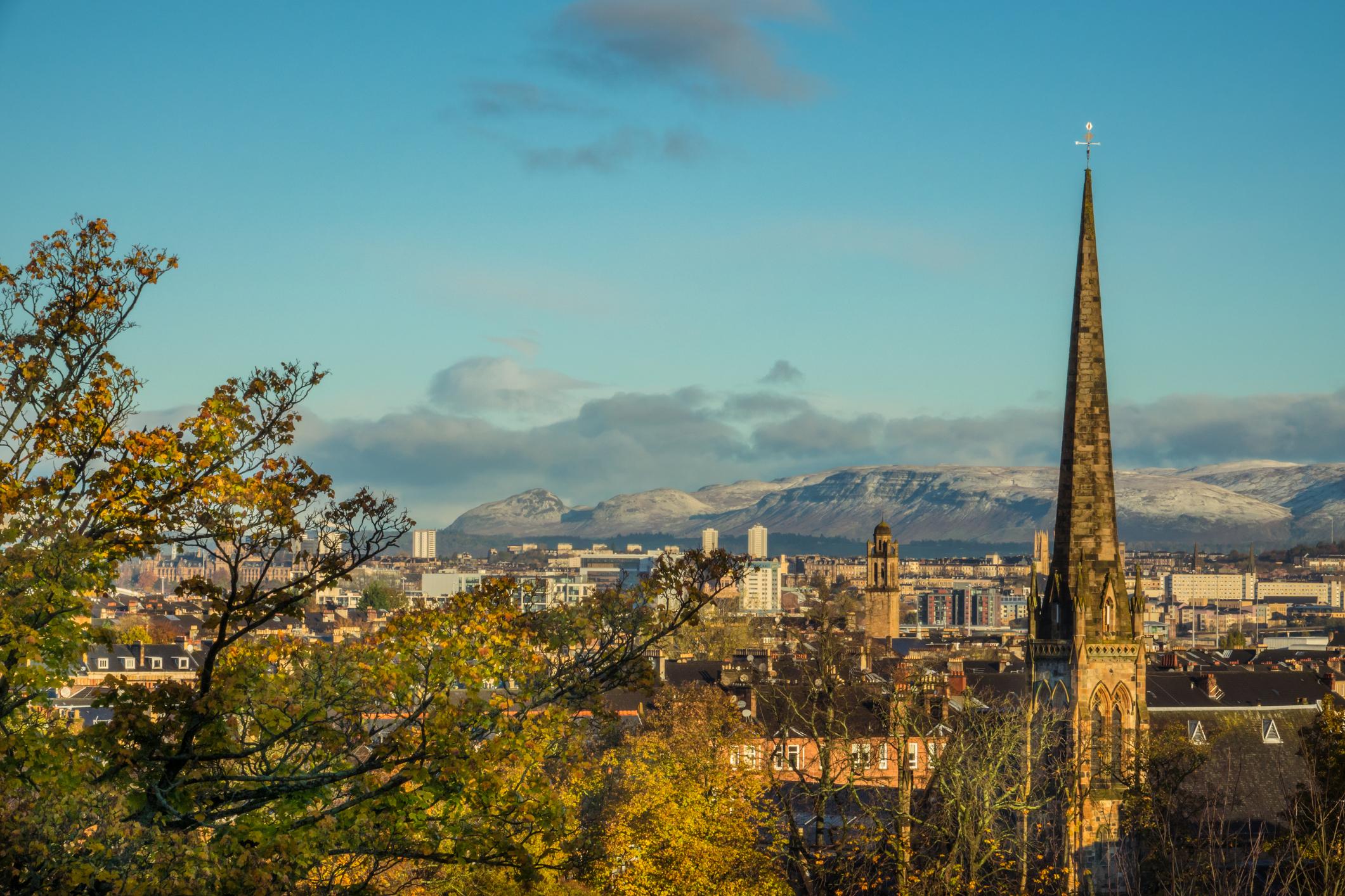
We like to finish these lists with an ambitious but hyper-local hike, and that's exactly what this one is. At 10.5 miles (17km), the Magnificent 11 is no easy feat, but this walk starts and ends in Glasgow, tying together historic bridges, green spaces and a big viewpoint at Cathkin Braes, from where you can see the Campsie Fells, Ben Lomond and get a bird's eye view over Glasgow itself.
This route is a huge loop around the southside of Glasgow. Starting at Netherlee, you follow White Cart Water to Old Castle Road.
You'll pass through King's Park and Castlemilk Woods on your way to Fernbrae Meadows and then Cathkin Braes, high above the city. It's surprisingly easy to get lost here, so do be careful with navigation. In Cathkin Braes, there are a lot of mountain bike tracks. Fields, meadows, roads and parks will guide you back down from this terrific viewpoint to complete the loop at Netherlee.
Inspired? Check out our adventure holidays in Europe now!